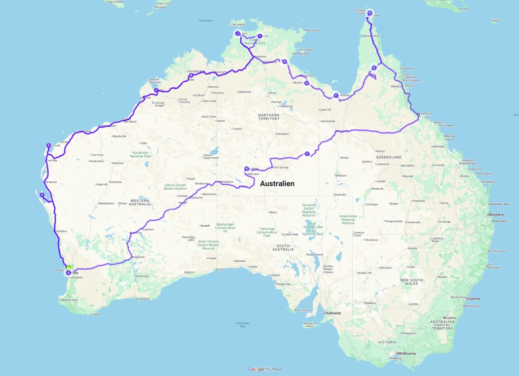
28th of July 2026
On the 26th of July we slowly got started on the day. Checked the road conditions and the road to Karratha had indeed been open. We later asked at the Information in Karratha, what time it opened in the evening and it had opened 1930, so it appeared to be a good call to settle down at Kialrah Pool.
Karratha was another unexpected town. It looks like a thriving town, based on the mining inland and we also saw gas production. Like Port Hedland, it was developed because of the mining, the first ‘town centre’ was built when I was 10, now it had added several suburbs, some even with their own town centre, the houses looked big, new and well kept. It’s the ‘smallest’ town we’ve visited, which had both Woolworth and Cole (the two big supermarkets around here), the only one in 1500 km each side that has KFC, basically it oozed wealth. Among the surprises, it had multistore flats, which was extravagant in this land, which really doesn’t seem to lack space, at least not the middle and north, where we’ve been exploring.
We visited the Murunjuga Cultural Landscape. It is hard to find a logical explanation for this landscape, it is high hills of stones, apparently dumped there:
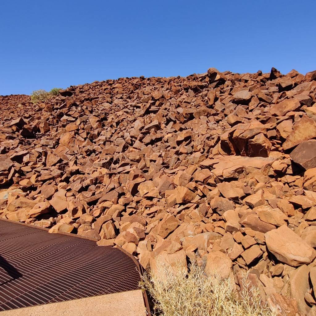
But we’re assured, it’s not dumped, it’s natural! The First Nation People had used these stones as canvas and apparently made 40-50000 drawings there. It had been done in different ways exposing the lighter stone underneath the darker surface. Much of it is eroded, and you’ve got to use your imagination to figure out what it might be:
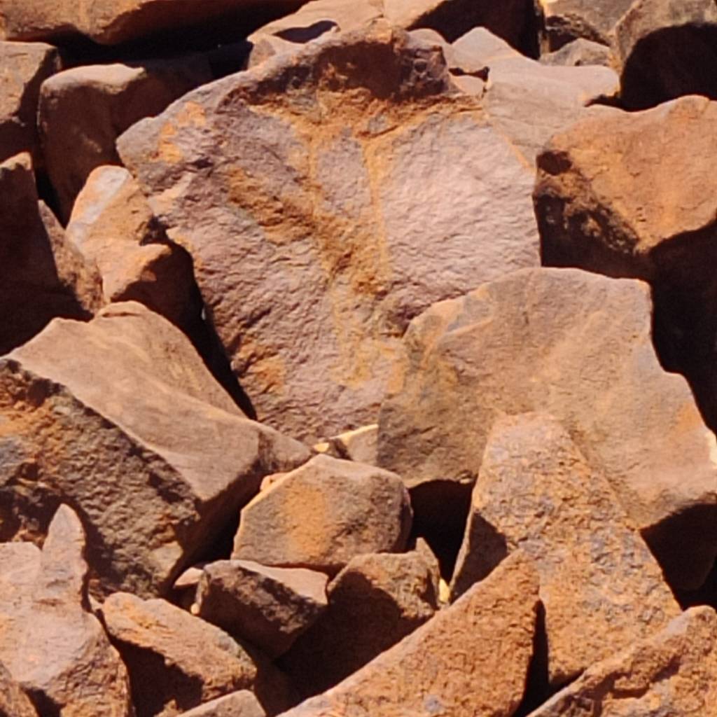
But experts also has difficulties giving the exact age, as some of them has likely been touched up, I suppose we’d call it restored in today’s terms, by First Nation People as they eroded.
We left Karratha on the 27th to go for a short drive to Forty Mile Gnoorea Point, where we had booked 2 nights at the sea, just outside the shore is rocky but a few kilometres out, there is sand beach.
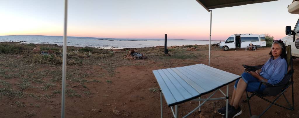
Looking at the map, we don’t feel like we gone that far south from the days at The Gibb, but it’s definitely cooler, Sharon loves the days at 24-26 degrees, but at night, pyjamas has returned and even the hot water bottle have come to life once again, as the night temperatures are now somewhat cooler. It starts like immediately after the sun goes down, it’s really quite amazing how immediately after you now need a jumper, almost like the click on a switch.
Today 28th of July we woke up, a nice breeze, and the waves were rolling in one by one by one by one by…. Yes difficult to wake up with the gentle rolling southing sounds of the waves, the air still warming up and the quilt wrapped around you.
Today? Today we relax.
24th of July 2026
The 21st of July we ended up taking it easy, just relaxing on the grounds.
I know! it’s time! I better admit, it’s become a Camping Trip and not a Road Trip. We started slowly at Pentecost River, with my full consent, it was beautiful, and it became fully apparent from Derby in Western Australia. That is OK. I had sort of suspected it, so the plan has all along been to do the Road Trip from the beginning, Great Central Road, Plenty Highway, across to Cains, where we had a break, the rush to the Tip and back, The start of the Savannah Way, with a break both in Katherine and Darwin, then the last bit to and through The Gibb to Derby.
Suddenly we had more time, as we first were aiming slowly for Perth, but now even more excited to aim for Jurien Bay Tourist Park to meet friends. So, Sharon has taken over with ‘oh let’s stay here’ and I’m complying.
I’ve had 2½ months of true Road Trip … Good going and only due to careful planning and knowing my wife, so I took her by surprise and we got to Derby before she discovered the plan.
On the 22nd we finally planned to go on the beach. The office had advised us to not to go north but to go south, because the sand was harder there. So the choice was easy, we went north after the tyre pressure was lowered to 18 PSI. Sharon was at first a little apprehensive, but the car just pulled us along, without ever even giving a hint of using the 4wd, which we had engaged.
Then we both immerged in the beauty around us. The beach was wide with white sand, there was the beautiful sand dunes with varied growth and then the sea. The sea was deep blue in the distance, closer to land lime green. The last 12 km’s we were all on our own, there had been other people, evidence was tracks in the sand. But we saw no one going or coming the last 12 km, we literally had 12 km of pristine sand beach all to ourselves.
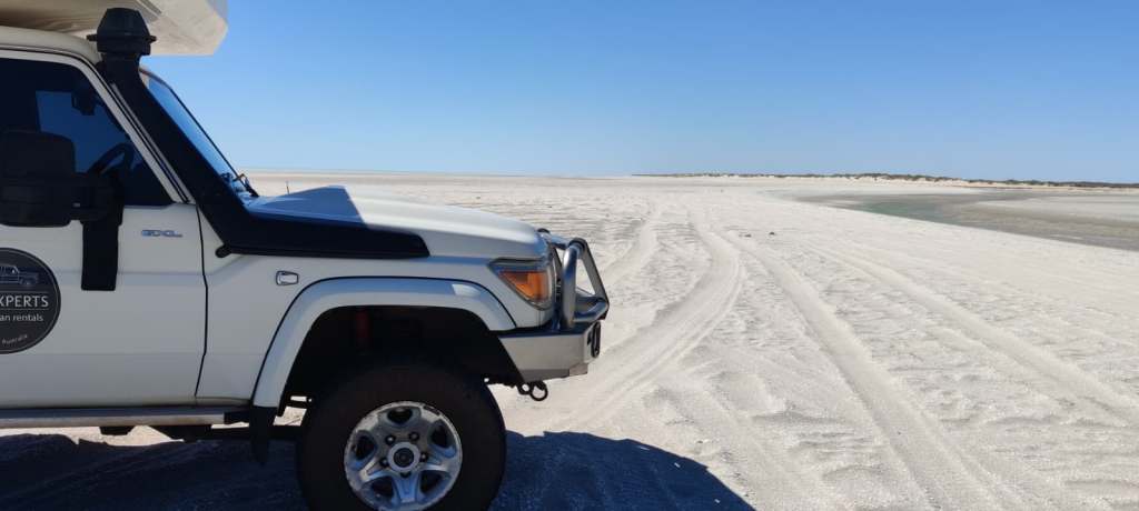
We wanted to stop, unpack, sit in the sand all alone and have a cup of tea and maybe a cheese sandwich. We tried. But the wind was pretty strong and we could not find shelter, never mind how we parked and the sand was rushing along the beach, at one point we even had a sand twister right in front of the car.
So we headed back. And Sharon even wanted to do the south trip too, which we did. Sand was harder and there were more people.
On the 23rd, we aimed south towards Port Hedland, it was a good drive but (you sensed right, a slight disappointment) all on good bitumen road. In Port Hedland, we tried to book in at the only caravan park, but it was full, so we went south to South Hedland and checked in at Blackrock Tourist Park. It was a red sandy patch we got, the wind was still strong, so sand everywhere. So we mostly stayed in until bedtime.
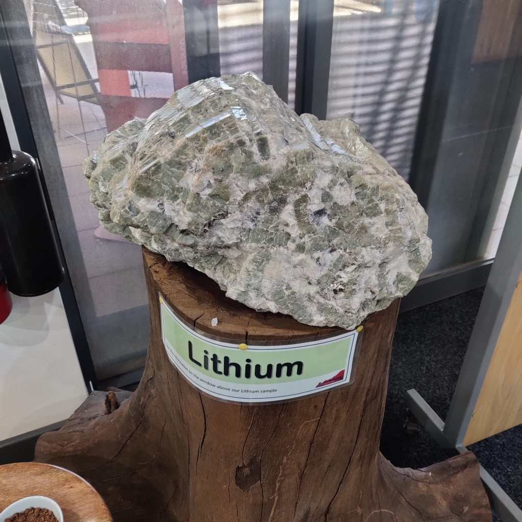
On the 24th we looked around Port Hedland. Now this was a different experience from the Outback, which we originally had come to experience. This was a modern shipping port, the biggest in the world of its kind, built in 1950’s, there were aboriginal presence there at that time, but not many and no settlement, so this was a complete second nation project. Just inland, they had discovered a lot of minerals, including iron, lithium and a lot more.
On one of the outlooks, we could see the tankers anchored in the Indian Ocean, waiting for their turn to get into the harbour and get loaded. We counted 17 big tankers.
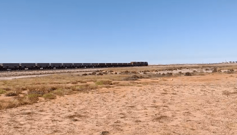
There was no real harbour back then, but they built it with Japanese expertise, they build railways into the land to pick up the minerals, primarily Iron Ore. We saw some of the trains, they are 2-3 km long, with an engine both at the front, middle and the back. They have the world record of a 7,3 km train with 12 engines. This one is shorter, but gives the picture:
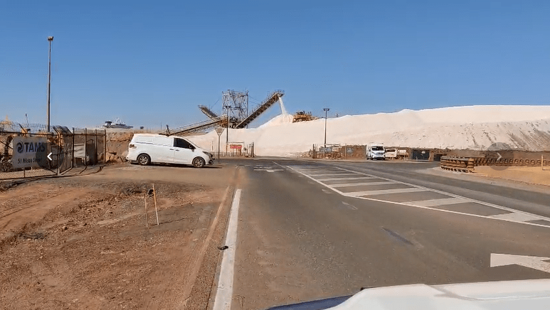
But there is also a lot of salt being exported, this is just one of many salt ‘mountains’ we saw.
We also checked out the beach at Rock Of Ages:
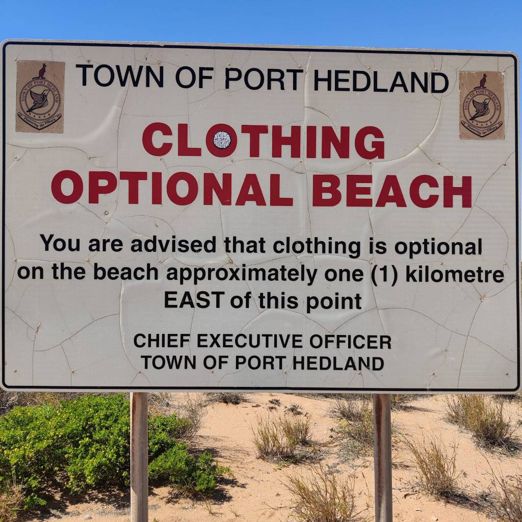
We didn’t go 1 km east, we went on the beach, but it was still very windy, so on the beach before 1 km, there was no one but us.
We did some shopping as the fridge was getting low. In the evening there was a fair in Port Hedland, it was really good, reminded us about Vestegnens Kræmmermarked at home. One thing that was there was a display of animals, including falcons, owls, sheep, goats different feathered animals but also snakes, now I was interested in the snakes, which I was looking at, when Sharon pointed out, that just above my head:
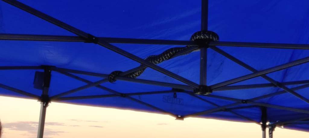
I did get to see the blackheaded pyton, which we’d most likely seen in the wild.
Now later in the evening the two pensioneers went back to Blackrock Tourist Park, we were quite tired, extensive sightseeing, shopping and a fair, I’m expecting some cheering here for the two oldies! we both quickly ventured into dreamland to find restoration.
Today 25th of July we headed south towards Karratha. Just south of South Hedland, the road splits into two major roads, one goes to Perth via the coast and the other via inland. Driving distance and time approximately the same. Well Karratha is on the coast so we went on highway 1. But ran into this road sign:
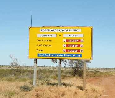
We debated. There had been a road accident between Roebourne and Karratha at just gone 0600 in the morning. I figured it would be over by the time we came there, so we drove south. But at 1500 the road was still completely closed and no update expected until 1800, so we drove back and found Kialrah Pool on Jones River, where we could park free, so we’re here for the night. There are quite a few others, wonder if some for the same reason as us.
Hope it is open tomorrow …
21st of July 2026
Whow, has it been such a long time since I updated. We’ve been busy experiencing this wonderful diverse country.
On the 15th we arrived in Broome, where we stayed until the 18th. THE GIBB has been an extraordinary experience, so now there was a little housekeeping to do. We shopped, looked around Broome, visited China Town. Now we’ve visited China Town all over the world, but this was different, not much ‘China’ about it, no Chinese restaurant, no shop with cheap stuff from China, no, the Chinese part was, that just over 100 years ago, this was where the Chinese settlers lived and found pearls, which was the business of this town then, and they lived in little tin houses, so all the buildings, some original, but also the new ones are made of tin.
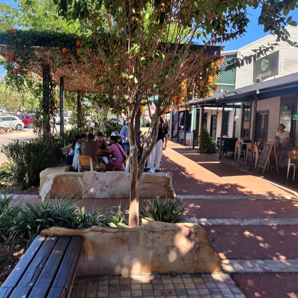
However, there was one enlightening way of doing things in China Town, which I think would solve a lot of problems for cars in all the world:
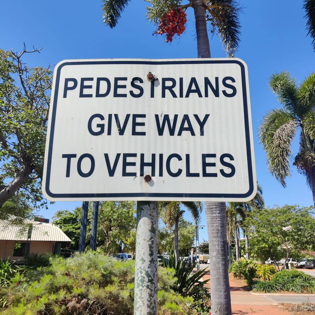
It was washing time too, found a laundrette in town, set up the car, so we could have lunch while everything was washing. Once finished I took the bedsheets and fitted on the bed, when I was finished I bumped into a bag lady:

Well apart for all the bags, the ‘bag lady’ told me, that there was an evening market on the shore, next to where we were parked, in about an hour. I for the first time got a bit tired in the afternoon and so we didn’t pack the bed away, but had a ‘morfar’ (sorry Brits, but this is a Danish expression for a snooze), the evening market was nice and we ended up having a pizza for dinner.
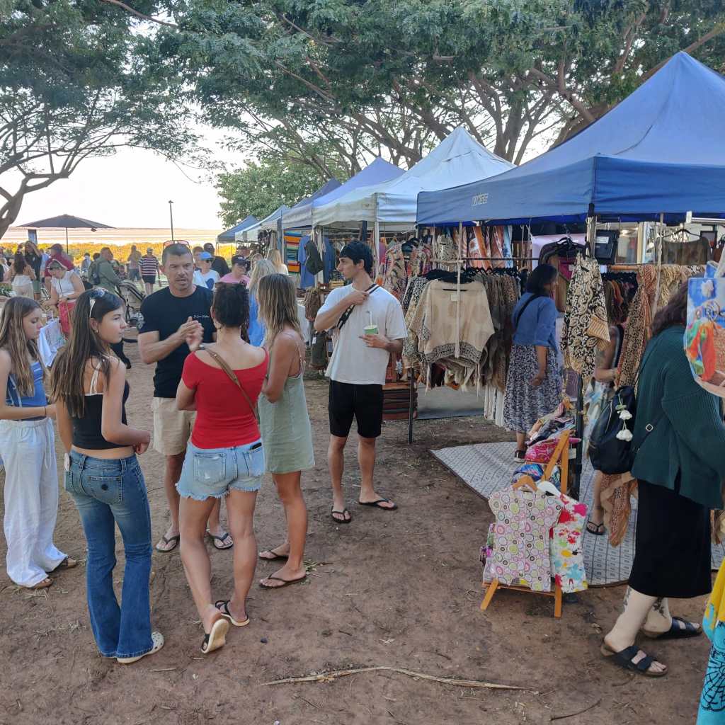
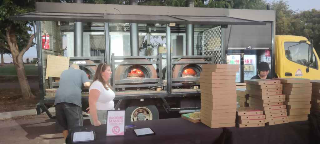
One day we checked out the Shore line along Kavite Road to Gangheaume Point, it wasn’t a long drive, but it turned out to be a pretty rough corrugated road. We had a walk along the beach.
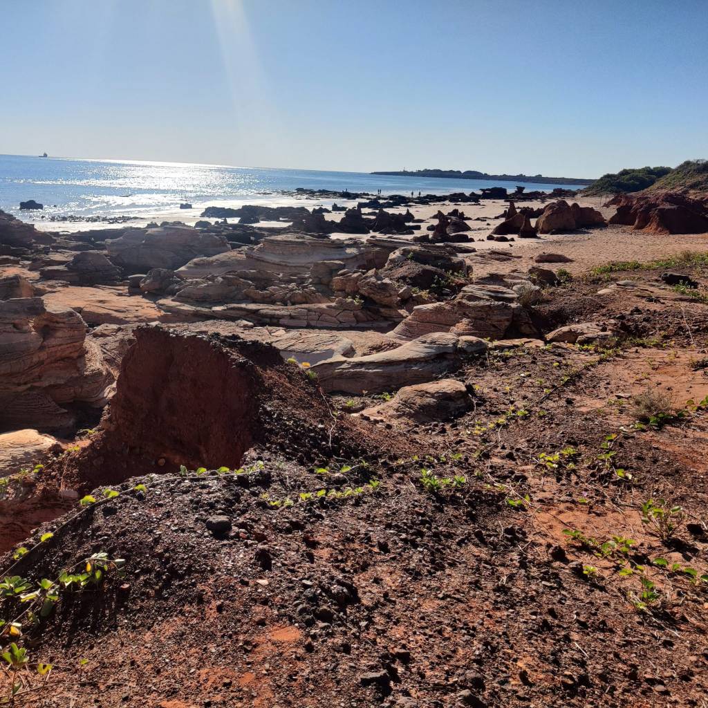
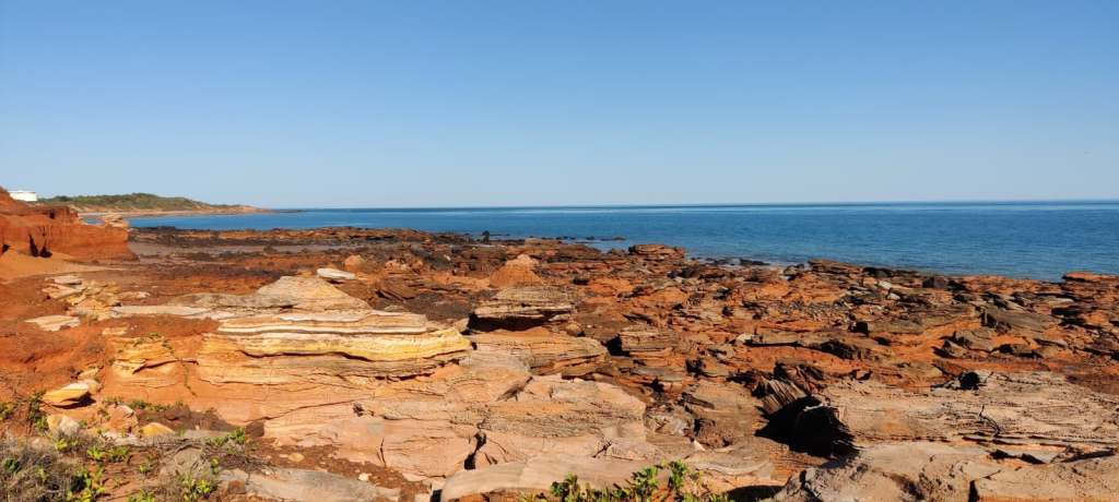
As we again hit bitumen road at the other end, Sharon looked at me and said, ‘OK you got your road kick for today’.
On the 18th we decided to check out the Dampier Peninsula. The drive was nice outback country side. This whole Peninsula seems to be owned by First Nation People, there are no fences, however, all the sideroads had ‘No Entry’, at the top of the Peninsula is Cape Leveque, which should be a really nice viewpoint over the Indian Ocean, however this road, which is usually open to the public, was also closed, apparently the road completely washed away in the recent cyclone in April, which was raging this area, as we were arriving in April.
So, we visited Ardyaloom, where there also is a nice viewpoint One Arm Point Viewpoint, but half way through the town the signs were there again “STOP – no entry without a valid permit”, nowhere in town could we find a place to get a permit.
Now this is most certainly my own fault and is part of the way Sharon and I travel. We’ve set out a main route, which you all have seen above, but apart from that, ‘we take it as it comes’, so we’re not looking much into things ahead, but drive and then experience what we experience. Now this VERY often lead to investigations in the evening, on the things we had experienced through the day 😊
We checked in at Djarindjin Campground and on the 19th of July we headed back towards Broome.
Just before we hit Broome, there was a road without a ‘No Entry’ sign, so Sharon looked at me and said ‘OK, lets try’. We drove about 10 km, it was very corrugated and getting worse, so we decided to turn around and go back. The GPS then suggested a track back, which sent us on an adventure.
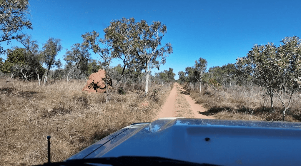
Back in Broome, we (read: Sharon) decided it was time to visit the famous Cable Beach. We were lucky to even find a parking space, so we went onto Cable Beach. Now this is a beach where there are lifeguards and you can swim between the flags. It’s not illegal to swim anywhere, just not advised.
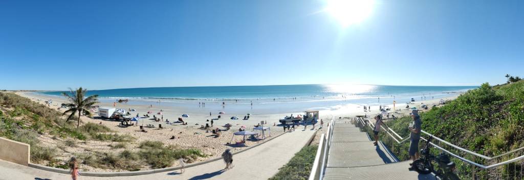
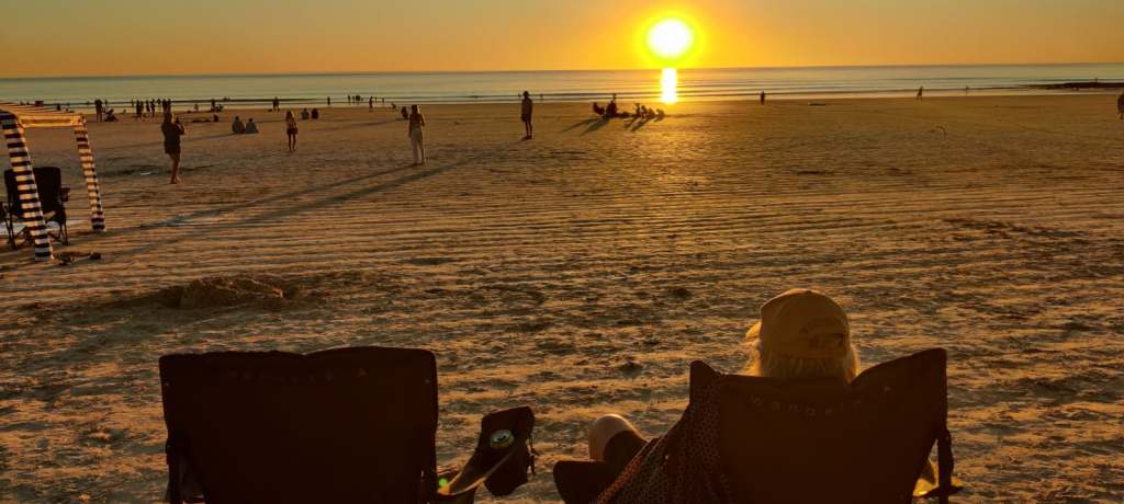
Sharon quickly decided, it’s was time to get wet. So we went back to the motorhome and got into our swimming clothes and headed back, it so happened, that as we arrived the famous camels arrived to take the tourists on the sunset camel ride along the beach (loads of pictures online), so we walked behind camel no. 17 towards the beach. We were in the water about half an hour and then headed back towards the motorhome. As we were walking, we (read: Sharon) noticed, a lot of people were heading towards the beach, some with their chairs, so we decided (read: Sharon), it was time to be oldies and take our chairs to the beach for the sunset, so off we went, cold drinks, ice creams and chairs:
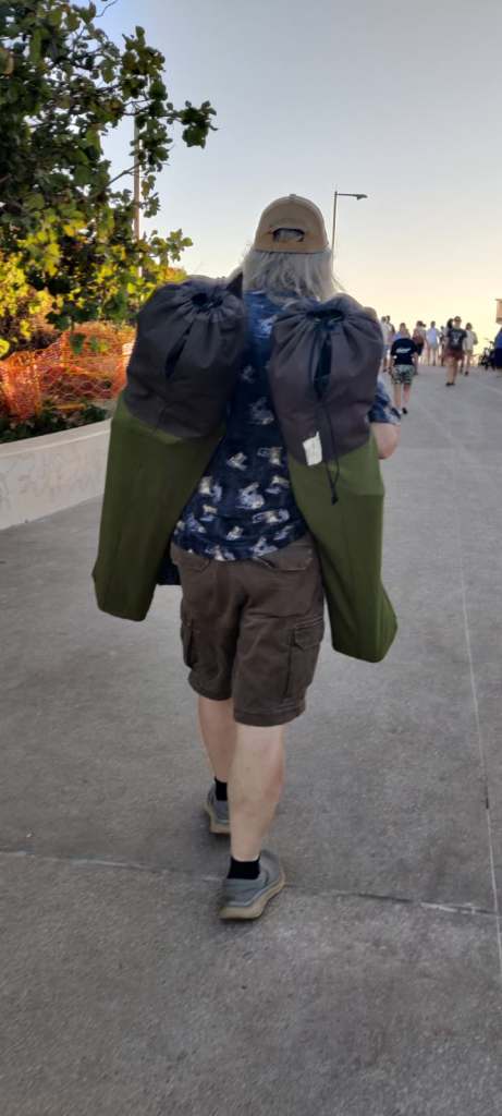
And saw the sunset:
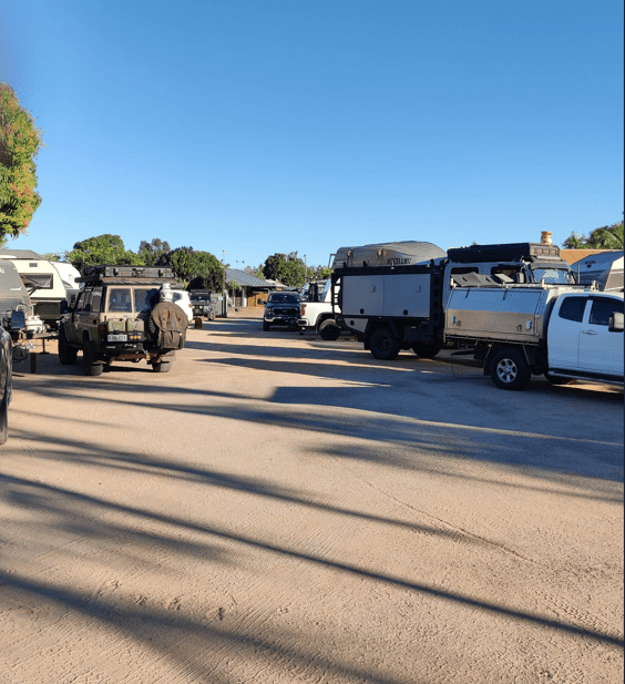
As I said to friends, we’ve become people of leisure on this trip. So when we arrived at the campsite it was full, next one full and so we headed for the Broome Seventh-Day Adventist Overflow Campground, it was not locked with a gate, but it was very full and the plots were very close together, we arrived in the dark, but this picture was taken the day after:
The office was closed. There were a few numbered plots free, but people came all the time to get into their slots, so we didn’t want to ‘camp’ there. We found an unnumbered parking space, likely for the office people, and squatted there, we reluctantly started cooking, as we both were quite hungry. Fortunately, the caretaker saw us about 20 minutes later and knocked the door … he appointed us a plot and we could eat in peace.
On the 20th of July we again hit the road. Now we’re going south along The Great Northern Highway. We will now head south aiming towards Jurien Bay, where we will meet up with friends from Brisbane and we’ll together experience the Limestone Pillars in The Pinnacles Deserts in Nambung National Park and Lesueur National Park, known for its wildflowers. So, from being sole explorers we look forward to discover together with friends 😊
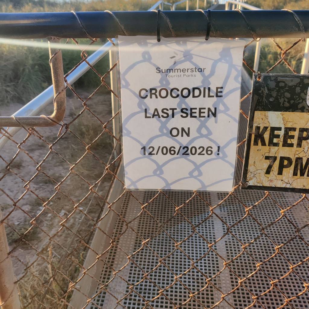
So many had advised us to check out the Eighty Mile Beach, so we checked in at the Campground. This campground is completely fenced in, as they from time to time have visitors:
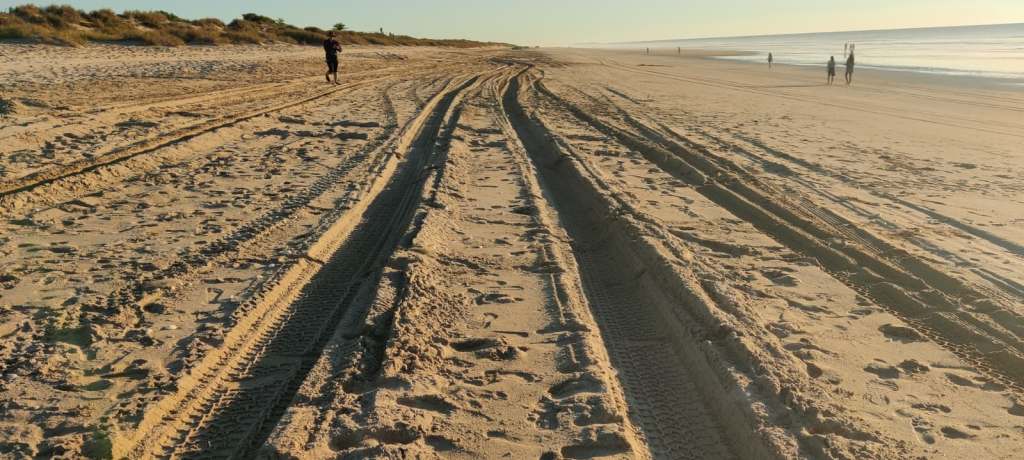
Now I would have posted another beautiful sunset picture, the sunsets are abundant in this great country. But it is getting to the point, where you may feel, that this old couple, in their retirement are looking too much at the eventual sunset of their lives. So I just want to assure you, we woke up this morning on the 21st of July and are alive and ready for adventure, on the 80 mile beach it is allowed to drive 22 km north from here and 8 km south from here, could be an option ‘a day in the sand in our motorhome’:
14th of July 2026
We packed up in the morning of the 12th of July, looking at the beautiful spot on the east side of Pentecost River, which we we’re about to leave, we’d spend 3 days there and just relaxed and enjoyed the serenity and quietness.
But this is a Road Trip, not a camping trip, so we got off. Sharon coincidently found a feed online about a bloke, who was walking the Gibb River Road as part of walking “The Lap” and from the feed we figured, he was only about a day away from us, so we’d decided to look out for him.
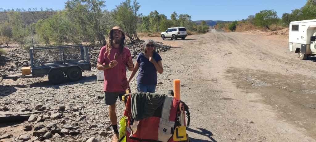
As we arrived to cross Pentecost River the fellow and his little “chariot” had just crossed Pentecost River on foot. He has said on his feed, that people were very generous to him, with food and water, we asked if he wanted some of that, but he had plenty, so we offered him an ice cream, which he was pleased to have.
Then we crossed Pentecost River, unfortunately the camera didn’t video, but just took a picture, so here is the picture of what should have been the start of a film:
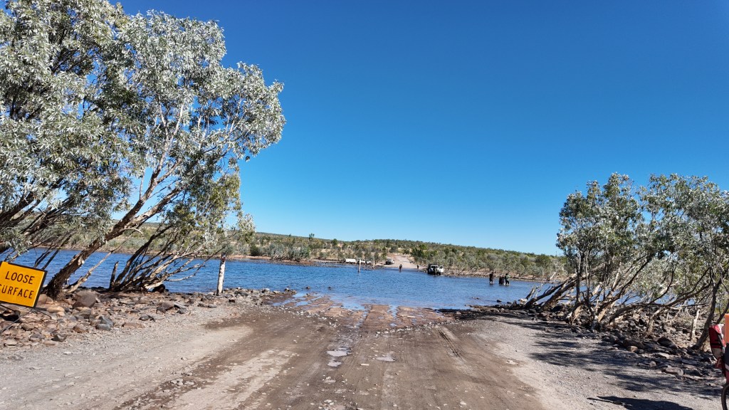
The crossing went really well.
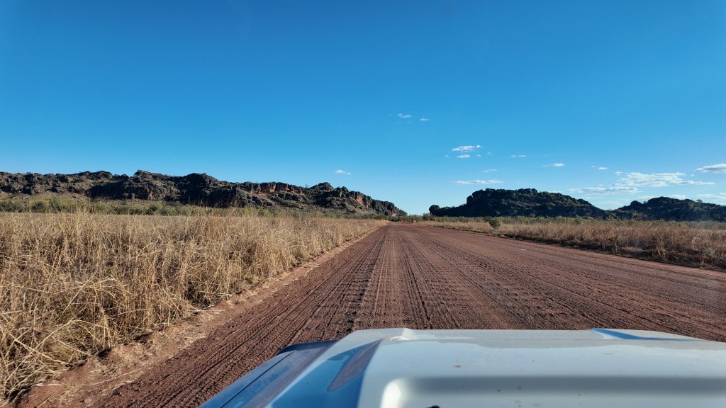
Then we drove further on, soon the bitumen was replaced with gravel road, which was really corrugated until we reached the road that goes from Gibb River Road to Kalumburu. Another bit fell of the car and a lot of people had damage to their vehicles on that stretch of the road.
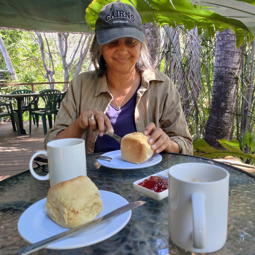
We stopped at Ellenbrae Station, know all over Australia for their scones (sorry Danes, it’s an English “bolle”), which we of course had to try. It was with cream and jam:
We stayed overnight at Gibb River Free Campsite, until we the next morning 13th of July again hit the road and reached the Lennard River Rest Stop, where we stayed for the night.
This has been an iconic drive, one that many people really appreciate doing. The scenery was really Australia Outback, the first very corrugated part, we drove about on average 40-45 km pr. hour, so for me, there was a lot of concentration just driving and trying to avoid the worst. But time and time again, we looked at the beautiful Australian nature in awe.
After the nights stay at Gibb River Free Campsite, we continued west, the road after a little while got better and eventually really good for gravel road, we some places could do 80 km pr. hour. We crossed the King Leopold Ranges, with exceeding green valleys.
The Aussies are practical people, so most of the roads are placed on flat land and finds the easiest crossing points between the ranges, but this one was going over the little mountains. and we reached Lennard River Rest Stop in good time.
We’ve not stopped at the many gorges and sights, which so many people appreciate along The Gibb. But we’re not able to walk into most of them, which almost all have rough access paths to them, so we’ve done THE GIBB as a Road Trip and we’re both proud to have done it.
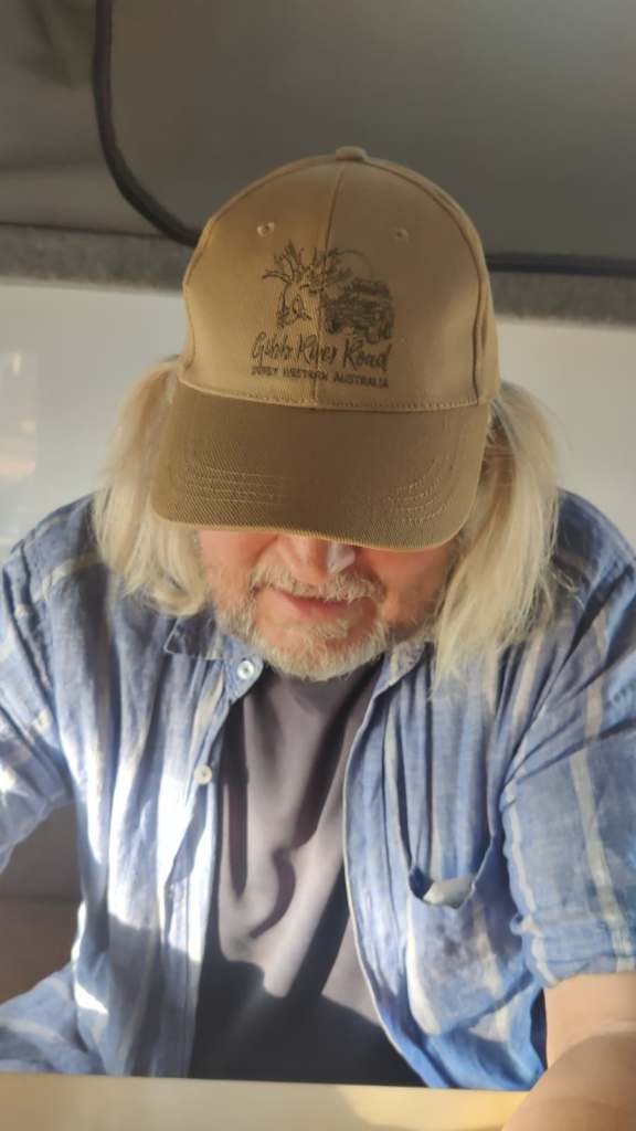
Today 14th of July we left Lennard River Rest Stop, the road again became Bitumen all the way to Derby. we looked at the travellers going east and pitied them, sorry mate (yes a little Aussie talk has creeped in), you don’t know what is waiting you.
We had a look around in Derby, went shopping and looked at the big pier, before we drove south towards Broome.
We stopped at the famous Boab Prison Tree:
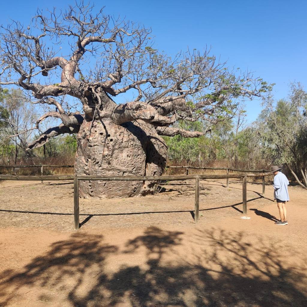
This tree was used to house ‘prisoners’ (or slaves) to late in the 1800 hundreds, but that is another story.
Now we have stopped for the night at Willare Bridge Roadhouse and Caravan Park. There was only 2 powered sites left. And we needed power, being on The Gibb, we’d used the big power bank to recharge phones, computers and to power StarLink. But it was difficult to get it recharged, so the past two days, we’ve restricted internet to about an hour in the morning and an hour in the evening, so It’s been good to get everything recharged.
Also here, they have a restaurant, with good food, so we opted for that tonight, Sharon lamb and I had beef.
Soon we’ll go to rest before going to Broome tomorrow.
11th of July 2026
Our shortest update. We’re staying another day.
10th of July 2026
On the 7th of July we left Katherine and drove west along the Victoria Highway, which is part of Savannah Way. We’re back in the Outback 😊 Long drive with just nature, it was a beautiful drive and even Sharon said so of her own free account!
Here we got to see something, which we’ve only seen twice, it is an awesome sight, a big bird, maybe an eagle, coming up from the ground with a 1m snake in its claws, it flew and landed in a tree. We wanted a picture, but it left the snake in the tree and flew away and settled in another tree, observing us.
We also entered the zone in Northern Australia, where the boab tree grows. They are very distinct and impressive:
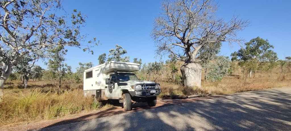
We arrive in the only Second Nation People settlement along todays drive, Timber Creek, however here we for the first time experienced that the campsite was full, so we pushed west, found a National Park campsite, it was full. Fortunately, some kilometres further west there was Ferdinand Von Mueller’s Gravel Pit, where we stayed overnight with all the others which had not booked 😊 However ‘The Pit’ was right in the middle of the Outback and it was a nice stay for the night.
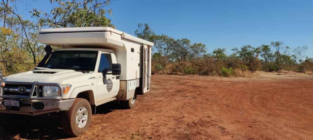
On the 8th of July we left “The Pit” and knew, today we’d be back in Western Australia for the rest of the Road Trip. As we crossed into Western Australia, our motorhome was thoroughly searched for things not allowed to be taken into Western Australia, honey, firewood, fresh fruit, fresh vegetables, fresh fish and Walnuts in the shell. We’d (read: Sharon) prepared ourselves and didn’t have anything illegal.
Shortly after the border, we did a detour to visit Lake Argyle, it’s an impressive dam and nature site, however also a big tourist attraction and the campsite was priced 3 times as much as the average we’ve paid.
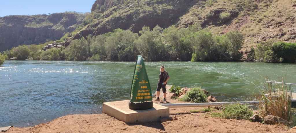
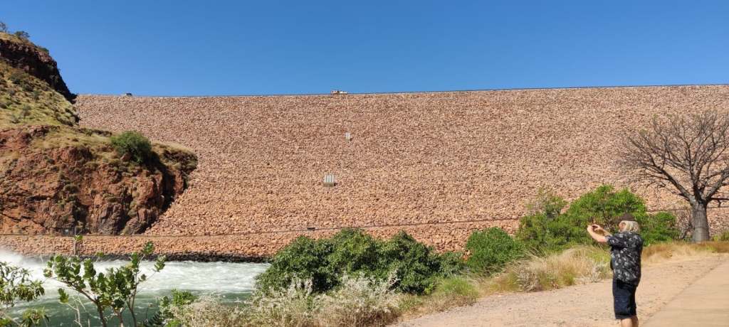
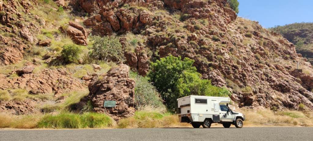
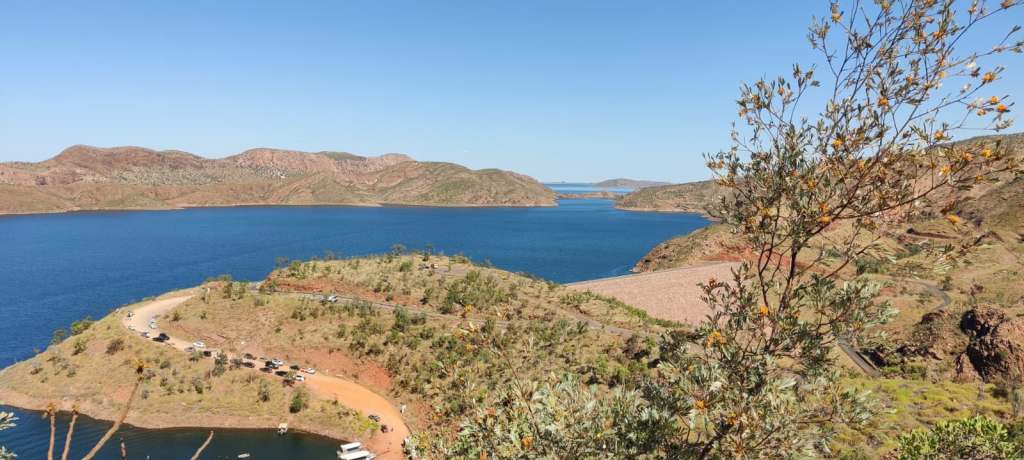
We enjoyed the sights and then pushed on to Kununurra, which would be the last bigger town before THE GIBB. Also, here a few sites were fully booked, but we got a spot at Ivanhoe Village Caravan Resort, it was right next to the common area, where they watched Australian Football on a big screen in the evening, good fun to hear the Aussies cheer on their team.
On the 9th of July we stocked up in Kununurra as we were heading for THE GIBB, then we wanted to do a detour to Wyndham, which is on the bank of a fjord called West Arn, it then flows out to Cambridge Gulf.
On the detour we stopped and looked down THE GIBB in expectation, before we drove north.
Now, we found out, Wyndham is the most northern town in Australia and it is also officially the hottest town in Australia with an average of 36 degrees. Obviously, I got worried, when I discovered this, I’d taken my heat avoiding wife, to the hottest place in Australia, even if I didn’t know, sometimes she makes me sweat, but fortunately she forgave me right on the spot, maybe because we were on the top of a hill, with a gentle breeze 😉
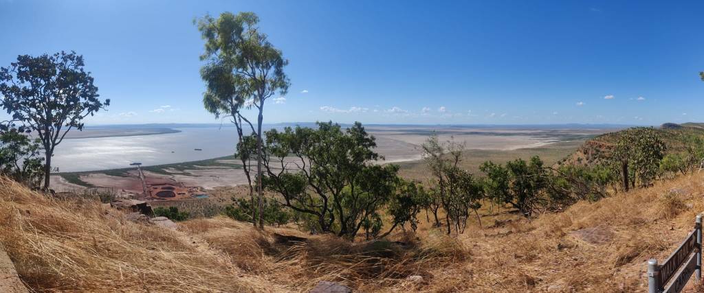
There is a harbour there and a big place, where they pack and freeze the cattle, before it’s shipped out to be exported. There was a nice lookout called Five Rivers Lookout, you really had a grand view. This place have a tide of 8.3 metres, so from the Lookout, you could see the vast planes, which got flooded when the tide came in and it’s was partly white with the salt from the Joseph Bonaparte Gulf.
We decided to go back and start on the iconic Gibb River Road: THE GIBB!!! This stretch and Plenty Highway, I had to get special permission to drive from the WA Experts.
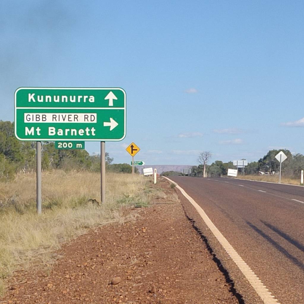
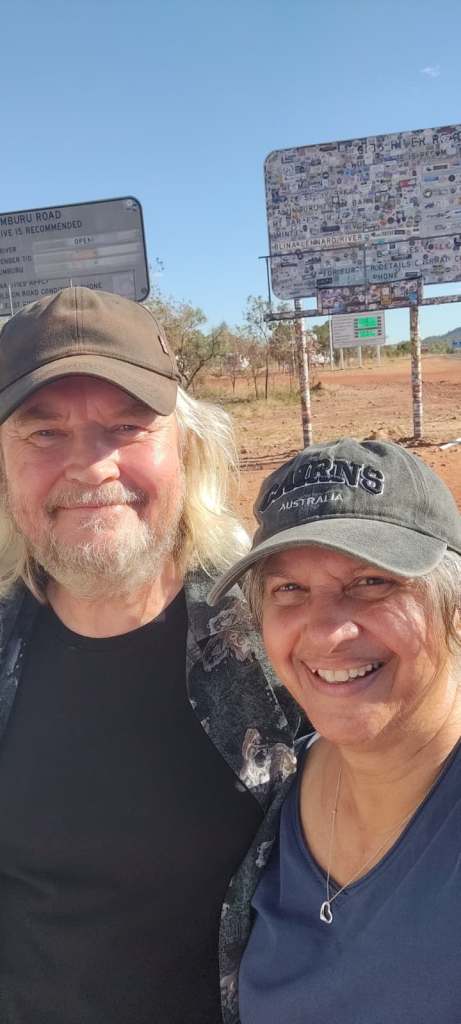
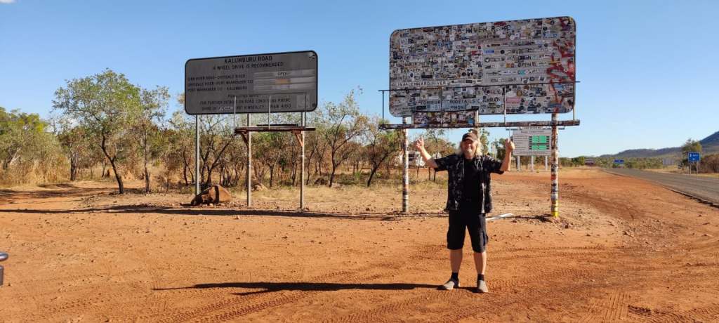
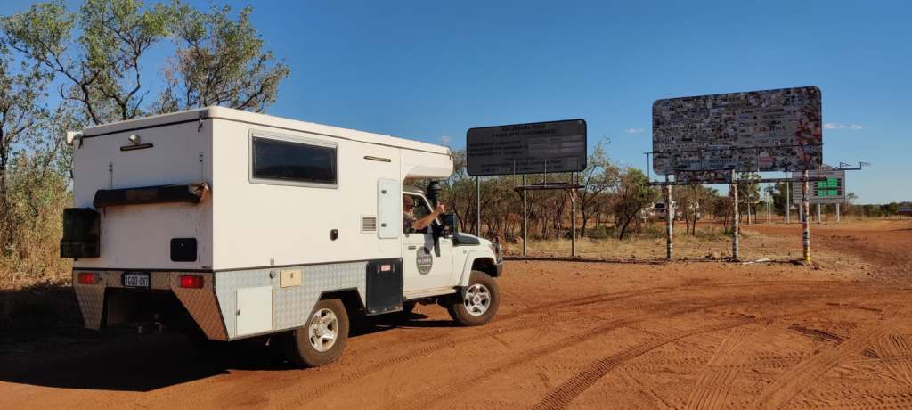
Driving on the first part of The Gibb is bitumen. It is still Outback, but we’re driving into the hills, it’s beautiful. Without me saying anything, Sharon just burst out, “wouldn’t mind driving this stretch again” and she videoed it:
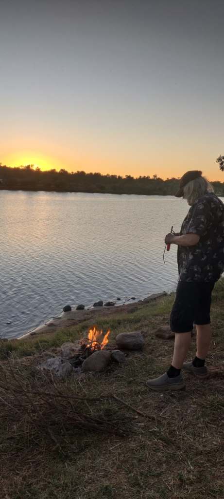
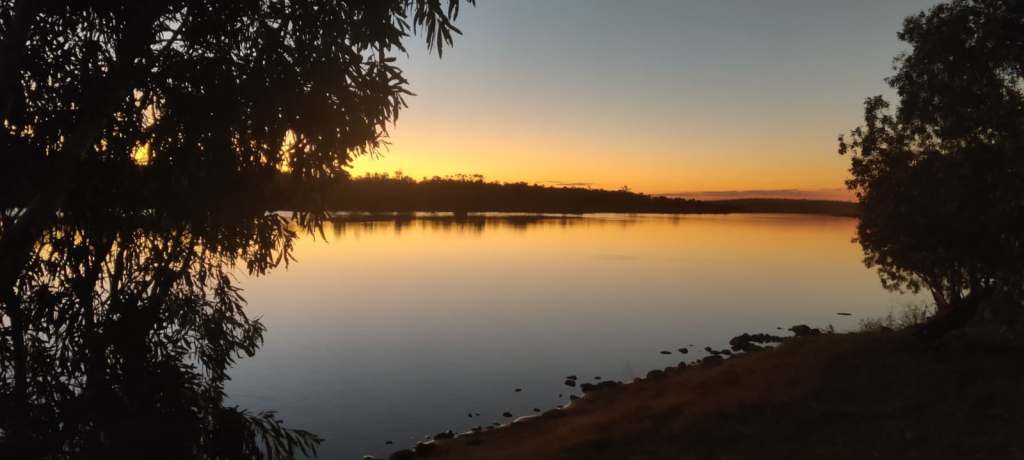
We stopped at Pentecost River on the east banks, before crossing it. There a lots of people here, so we had to go quite far up the sandy track along Pentecost River, to find our own little spot at the banks. I hadn’t engaged 4wd and got stuck, so engaged 4wd and we got going 😊But then we settled:
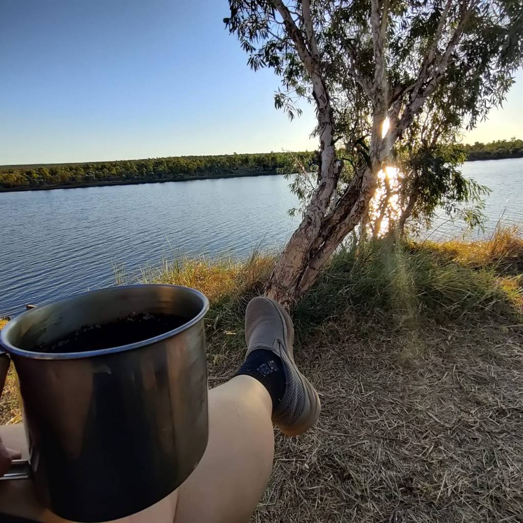
This morning 10th of July, we got up, made a cup of tea and just sat in the shade watching the river, and all the birds here. After tea we took out breakfast, as we started breakfast, when this little fellow joined us:
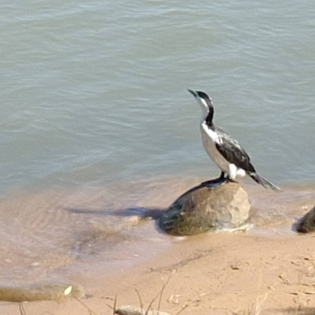
Apparently it was breakfast time for it too. It walked in the water, then dived in and stayed under 10-15 seconds before coming up 10-15 meters from where it dived. As it happened, as we were enjoying our breakfast, it came up with a little fish, it came ashore and stood on that very stone and had it’s breakfast together with us. Once it had finished, it stood up against the wind and shook its wings, supposedly to dry the feathers, then it just spread its wings up against the breeze and just stood there as it dried. We finished our breakfast, it looked at us, as to say thank you for the morning breakfast company, then took off.
We’re staying here today.
The past few days has also brought a great joy, my friend and his wife from Brisbane will be able to meet us at the end of our journey, we’ll do the last two national parks together and hopefully also explore Perth together, we were both thrilled.
6th of July 2026
This is a short update.
On the 5th of July we got to re-visit Katherine early afternoon, after a short browse around the town, we went to Katherin Farmstay, where we spend the afternoon and all of today 6th of July.
This place is like a little zoo, they have bullocks, camels, emu, and their African big brothers ostrich, saltwater crock, freshwater crock, lots of snakes and a whole lot more, so there is a lot of families with children here. There is a walk around the farm every day, we’ll go today.
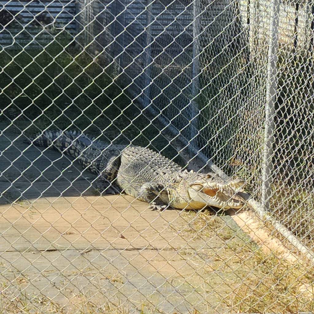
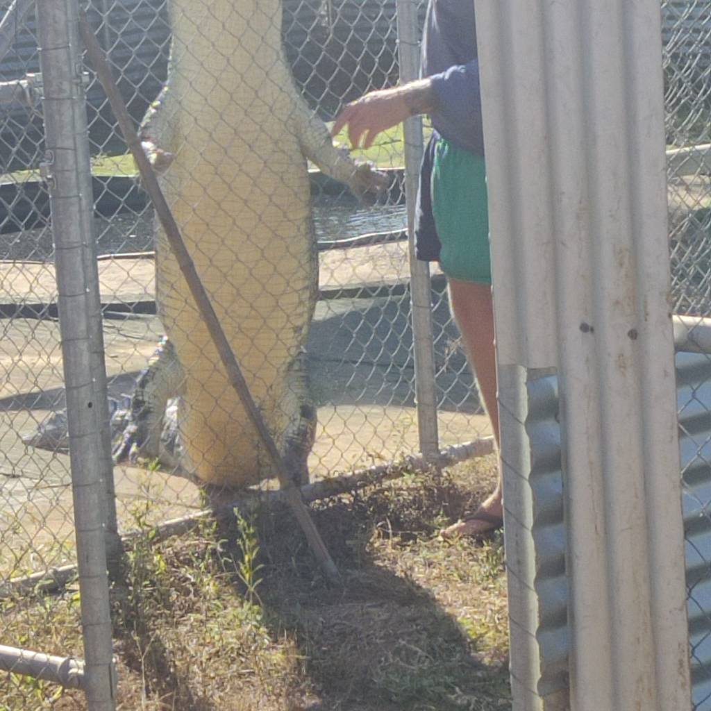
Crock feeding time. Apparently this crock gets fed every 4 days and it gets 1 kg of chicken each time. Must have a very efficient metabolism to grow so big with so little.
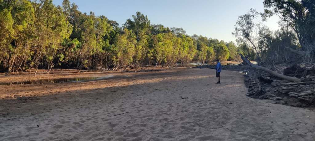
In the evening our neighbour came back from fishing, hadn’t caught anything, but told us about the crocks in Katherine River, we did go for a look, but didn’t see any and more importantly, they didn’t see us either 😊(at least not as a possible dinner).
This morning, we watched Mexico – England, quite a match. Then we’ve also gotten on with the reason for the stay, housekeeping, so everything is washed and most is dry by now in the sunny breeze here.
4th of July 2026
On the morning of the 3rd of July we took it slow. This has become a habit here in the wintery North of Australia, where the temperature is between 31 and 33 during the day time, it is convenient to drive during the hot hours and the mornings are much cooler and often a breeze too, so we ‘hang around’ until the heat starts to set in.
It was a very short drive to Wangi Falls, where the waterfalls fall into a pool, where it is allowed to swim in the winter cold water at only 25 degrees (some degree of sarcasm to be expected).
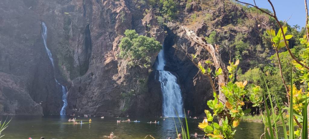
We stayed here with the ‘rest of Australia’ for over 2 hours, both in our swimming clothes and I also had a sort swim into to pond.
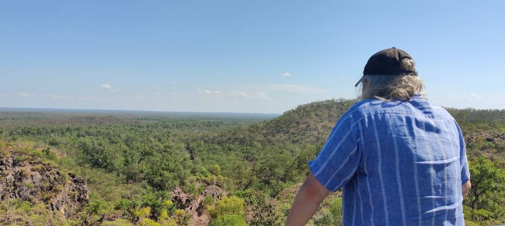
There were a number of sites we visited, including Tjolmer Falls, where you were at the top looking down and over the vast landscape.
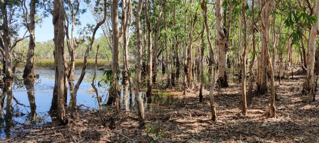
Yet in this often dry forest during this season, there still are the swamps, right in the middle of the Litchfield National Park.
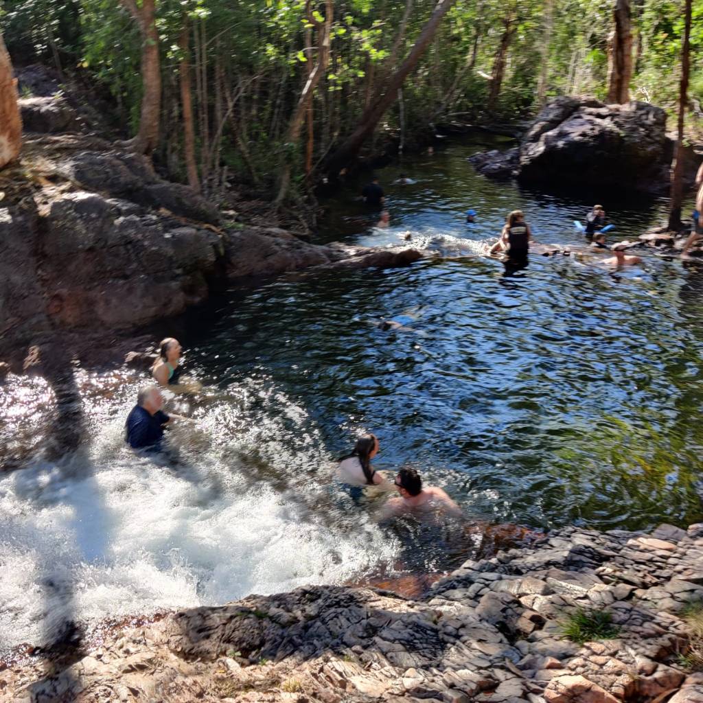
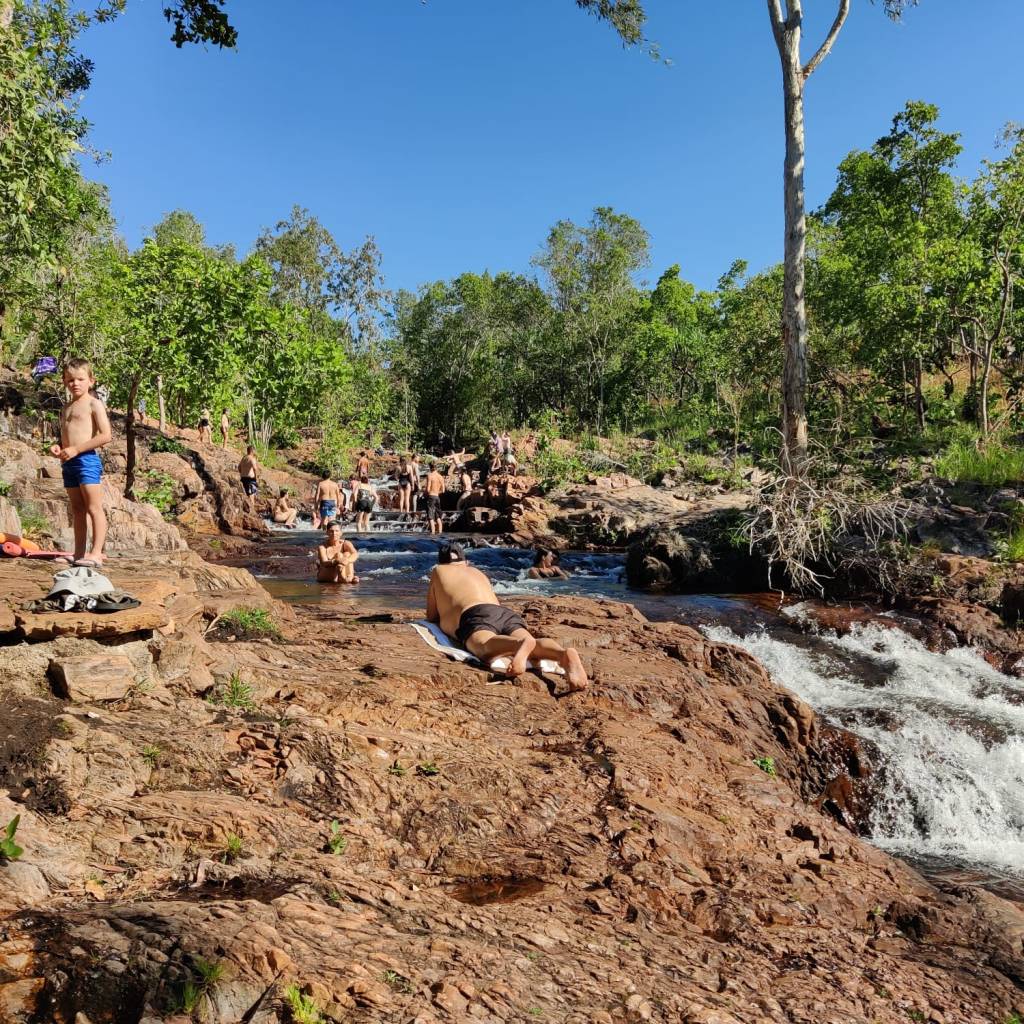
We stopped at Buley Rockhole, this was another place, where it was possible to go into the water, this was a stream, which ran over rocks, it had created several holes in the rocks, some so deep you could jump into them and some so shallow that you to sit in them and let the water run past you.
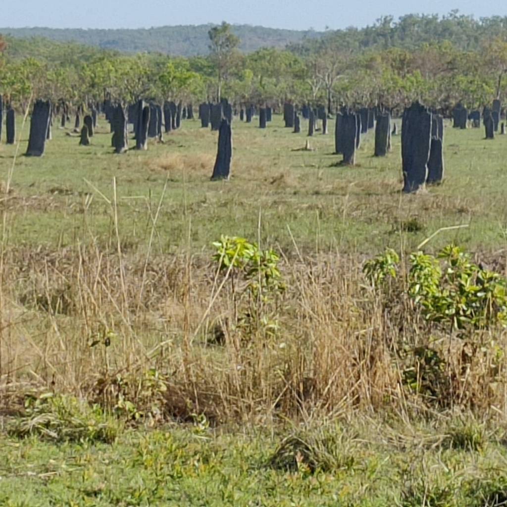
We also visited Magnetic Termite Mounds, this could be a long story, but if you’re interested, then it is in the link. Seen from afar, this looks like a catholic graveyard, with high gravestones, these mounds are perfectly aligned north / south to cope with the changing weather in Northern Australia.
There were several other places, also where you could swim or get into the water. Litchfield National Park seemed to be a place, where most people come to enjoy the water opportunities in many different varieties. It is not a big park, we drove in from the north and didn’t see any camping sites, until we reached Litchfield National Park, but as we today drove out, there were many campsites along the south entrance, it looked like people in caravans booked in, parked the caravan and took the car to Litchfield National Park, it’s not very big and you can drive through it in an hour, so you can go see the sights and try out the many opportunities to get in the water.
In the evening there was another of these unexpected Australian marvels, we checked in at Zebra Bush Camp. This site was owned by a couple, who had found 3 places with stones, which had been coloured in fantastic ways, including what looks like zebra stripes. This is another long story about Zebra Stone, the link is to a coming site, but there is links to pictures. This is the only place in the world, where they have found stones like this.
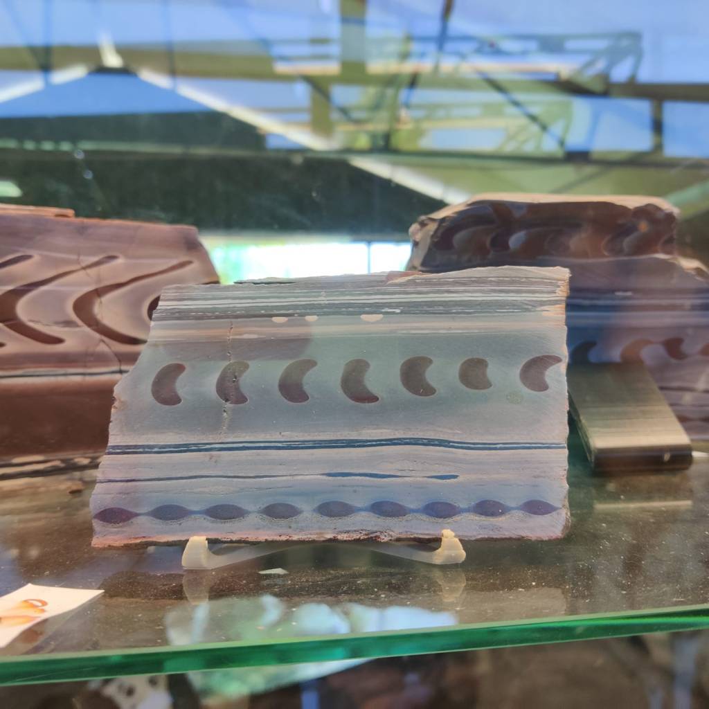
They look like its decorations on Greek Temples, but this is 100% natural stone, cut and polished. In the link, there is many more examples of these exceptional stones. According to the owners, the scientists don’t know how these were made.
Today 4th of July we adapted our new morning routine, went to the shops, where Sharon got one of the pendants made out of these exceptional stones.
Then we set course towards Kathrine, to pick up on the Savannah Way. Instead of going on the main road Stuart Highway the whole way, there was a parallel route, were we finally again practiced deflating and inflating tyres, we’re now going west, where it will be more common with dirt roads again. We did eventually get onto Stuart Highway, but about 140 north of Kathrine, the traffic came to a complete halt. On the CB radio we understood a lorry had turned over and was blocking all traffic in both directions, later found a picture of it.

We waited about ½ hour, the helicopter came and the word on the radio was, it could be blocked for hours. We turned around, and found a free campsite, Bridge Creek Rest Area, where we’ve unpacked, had tea and sitting in the shade as the temperature says 34. We’ll stay here and continue tomorrow.
2nd of July 2026
On the morning of the 30th of June, we had a lay in (no no! no times given!). We had planned to meet a friend of mine from Brisbane, he and his wife wanted a holiday up north and we had planned to meet. Unfortunately, it was not possible anyway, which was a great shame.
We’d almost driven 11000 km in the motorhome and the hire company WAexperts.com.au had arranged a service for the car and a few repairs around the motorhome. When we handed in the motorhome, the staff suggested that Sharon went shopping, which she likes, now Sharon didn’t say “no”, just “how did they know”?. They lend us a car and we drove into Darwin and looked around the city and the waterfront, before we again picked up a refreshed motorhome.
On the 1st of July, we once again had a lazy morning, but it was hot. Traveling in a motorhome, there is not much to do about the heat and Sharon was geting rather affected by it by early afternoon, so we had to pack the motorhome down, drive to a shopping centre, where she could get cooled down and shop, she was al right after a few minutes. This has been the advantage of a ‘road trip’, you drive during the day when it’s hot, with small stops, but you are in the car, where the air-conditioning is on, and it works well in this motorhome, but only in the driver’s cabin.
In the evening, Northern Territories celebrated Territorial Day, where they celebrate with fireworks, like we do in Denmark for new years celebration. The main display and ‘party’ was on Mindi Beach, where they also have the Sunset Market, which is primarily street food stalls. We got the evening food at the stalls.
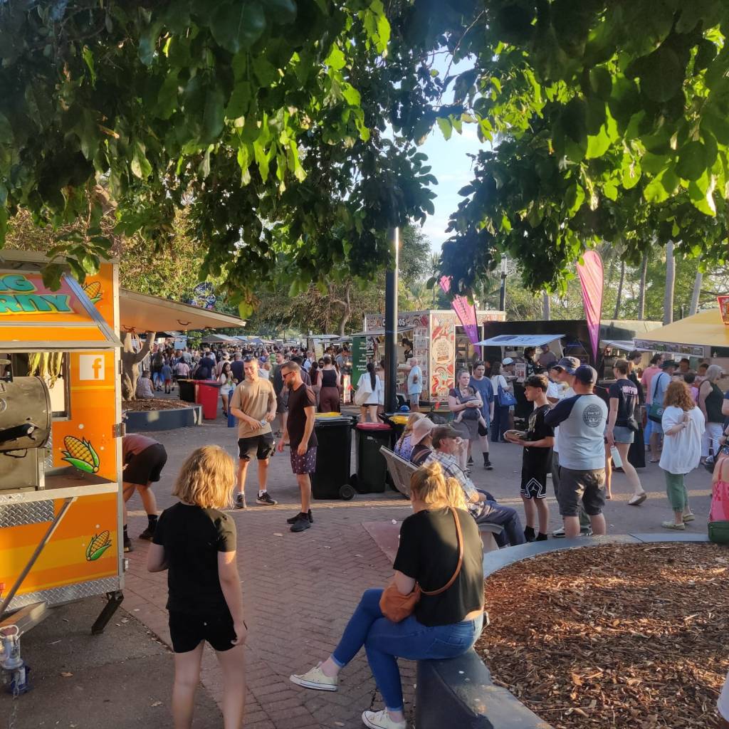
For the celebration there was a big scene set up with music, where the main attraction was an Australian singer Jon Stevens. There were thousands according to organizers, my estimate 8-10 thousand.
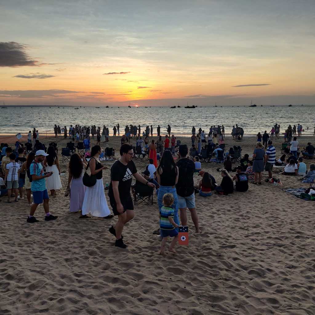
This picture was taken early in the evening as people was gathering on the beach to hear the concert and see the fireworks
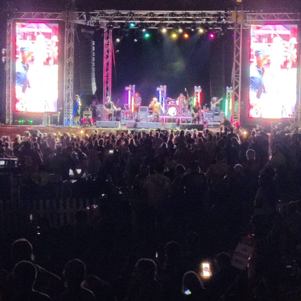
The fireworks from 3 prams in the sea outside Mindi Beach was on for 15 minutes and was spectacular.
The traffic going home was slooow, so we got a late night and was happy we prepared with a a lazy morning 😉
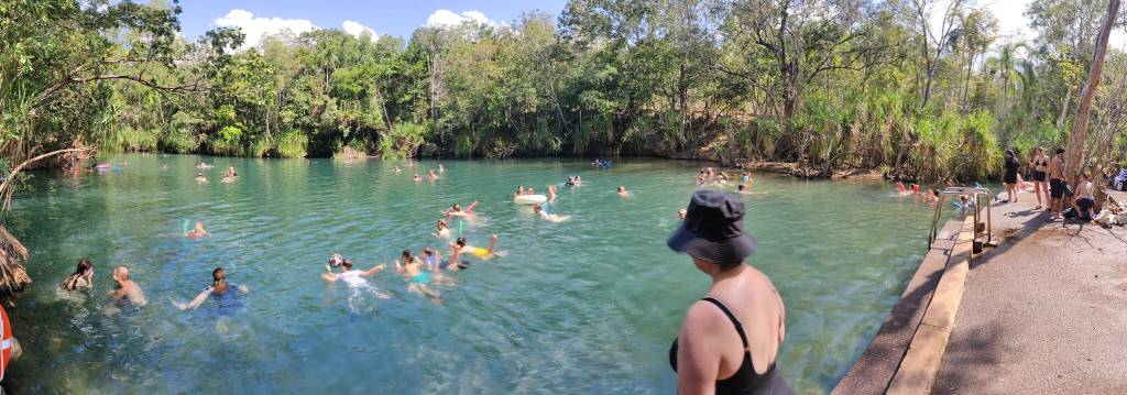
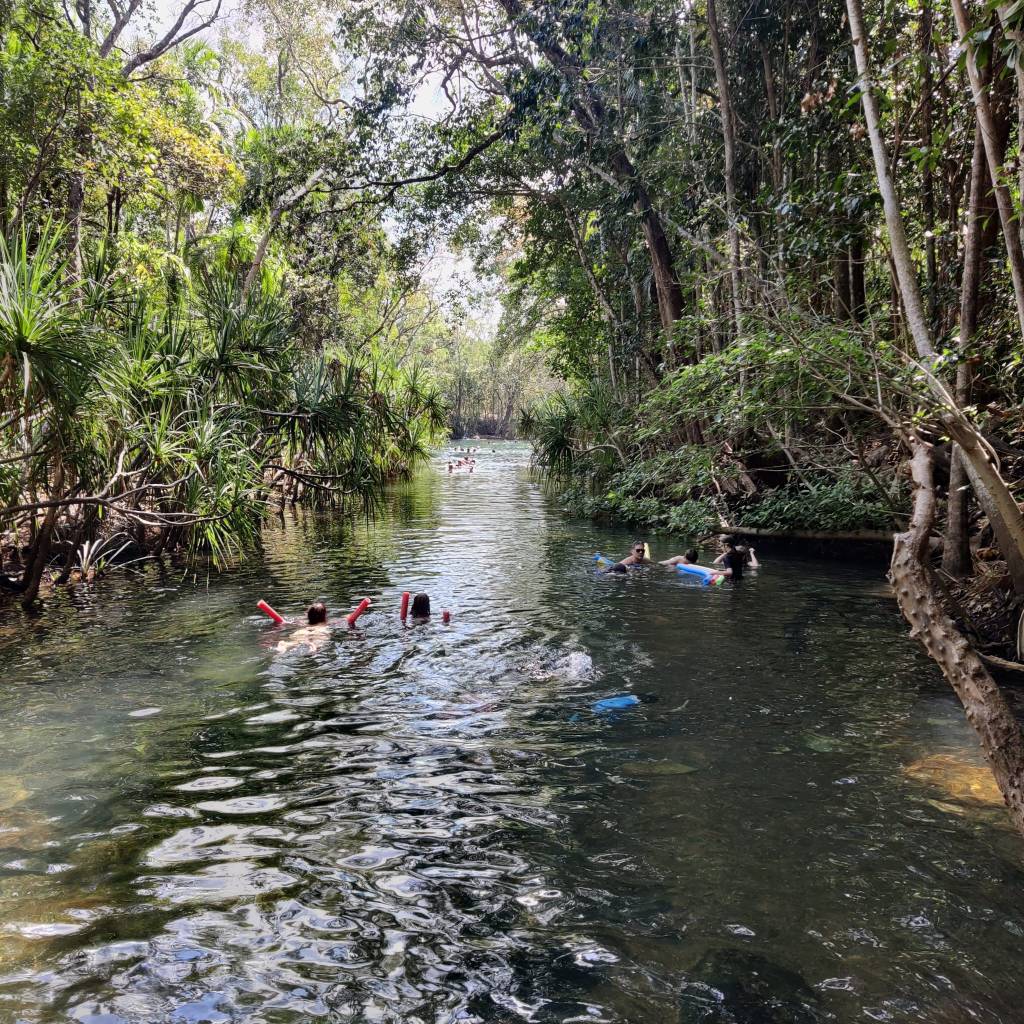
Today 2nd of July we left Darwin and drove towards Litchfield National Park, we had a stop over at Berry Springs, where you can swim and it looked like half of Darwin and half of Palmerston were there. It is the winter school holidays so lots of kids too:
We looked at some of the sites driving into Litchfield National Park and have now settled for the night at Litchfield Bush Sites:
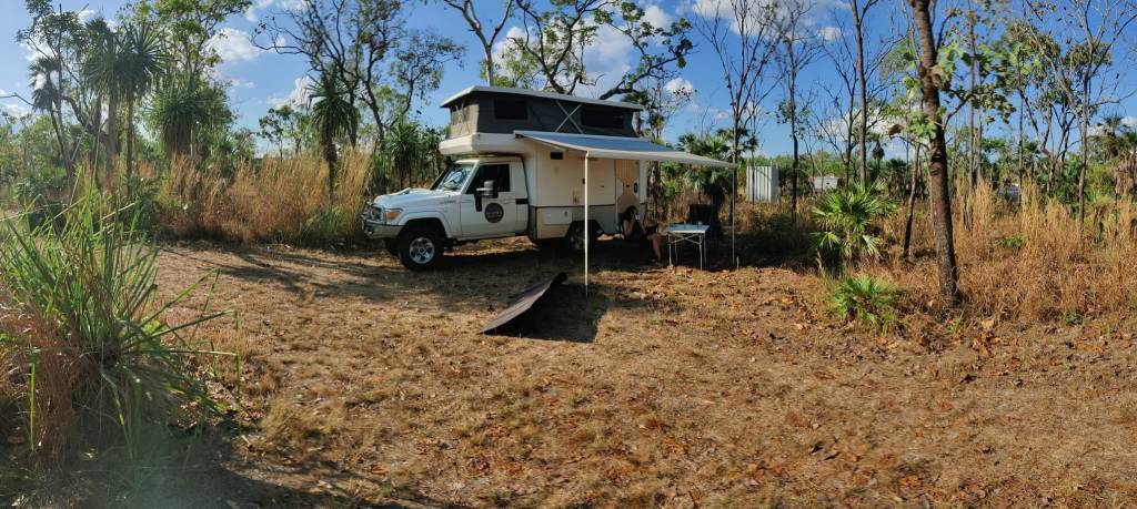
29th of June 2026
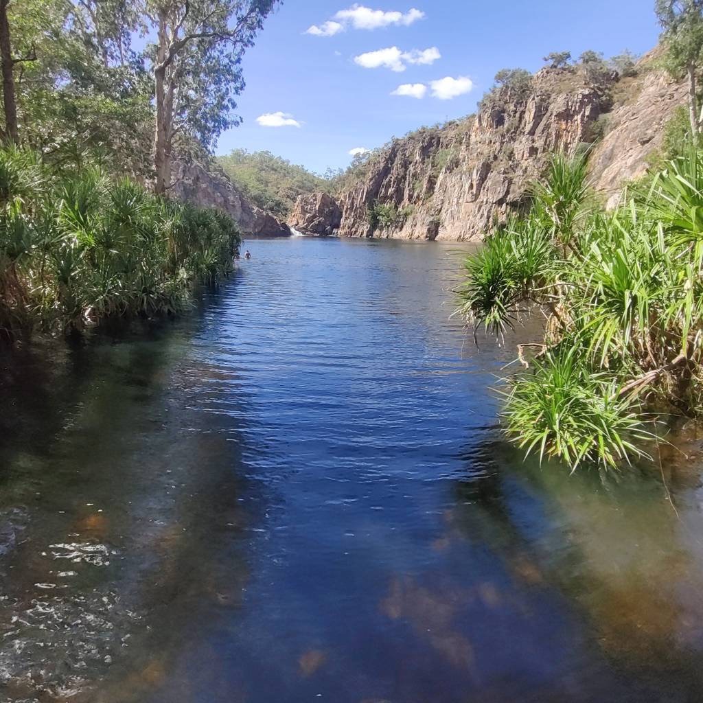
On the 26th June we headed off towards Kakadu National Park, shortly after Katherin, there was the Edith Falls, which we took a detour to visit. From the viewing point, the falls were in the background and a big lake in front of it, where there were designated swimming areas.
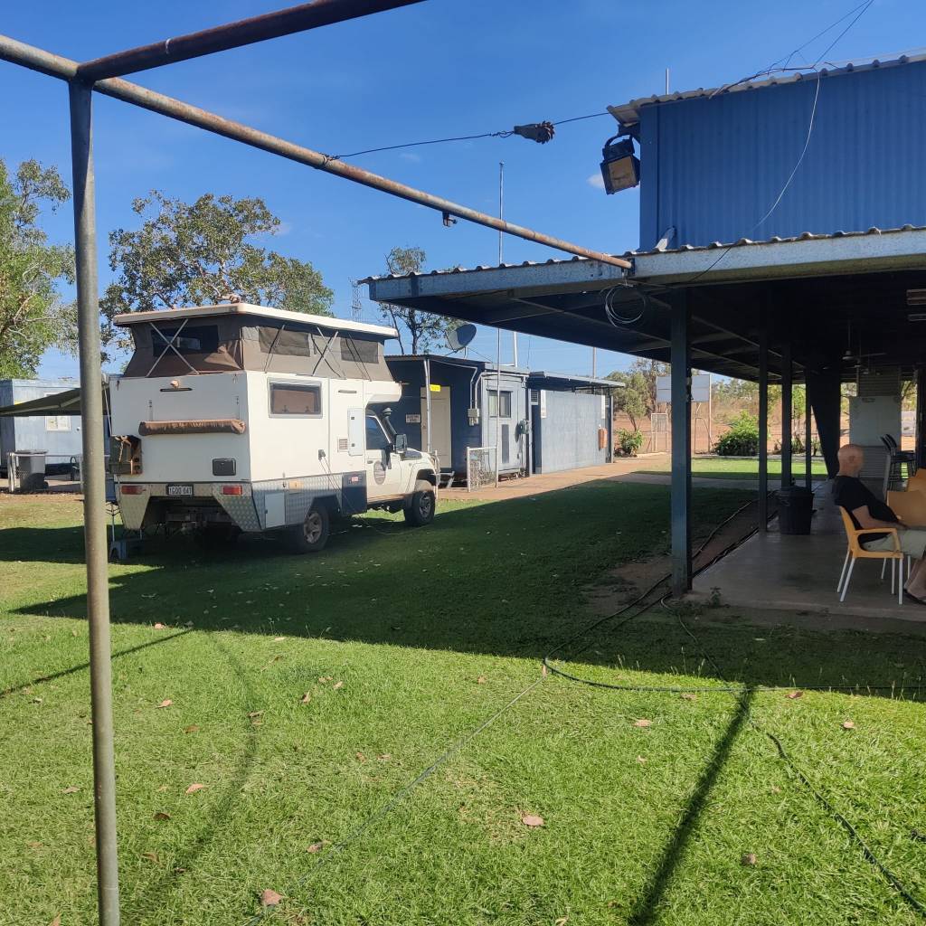
We stayed awhile and stopped at Pine Creek, just as the road was heading towards Kakadu National Park and stayed at Pussycat Flats Racecourse Camping. There was a lot of people and we were placed just outside the bar, which fortunately closed 19:30.
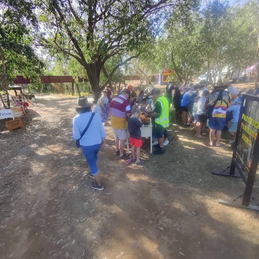
The next day on the 27th we found out why there was a lot of people. As we left the campground, we drove into Pine Creek to fill the diesel. In Pine Creek there was a Saturday market on, there were stalls with almost everything, food, prospecting, political candidates and more, so we spend some time at the market.
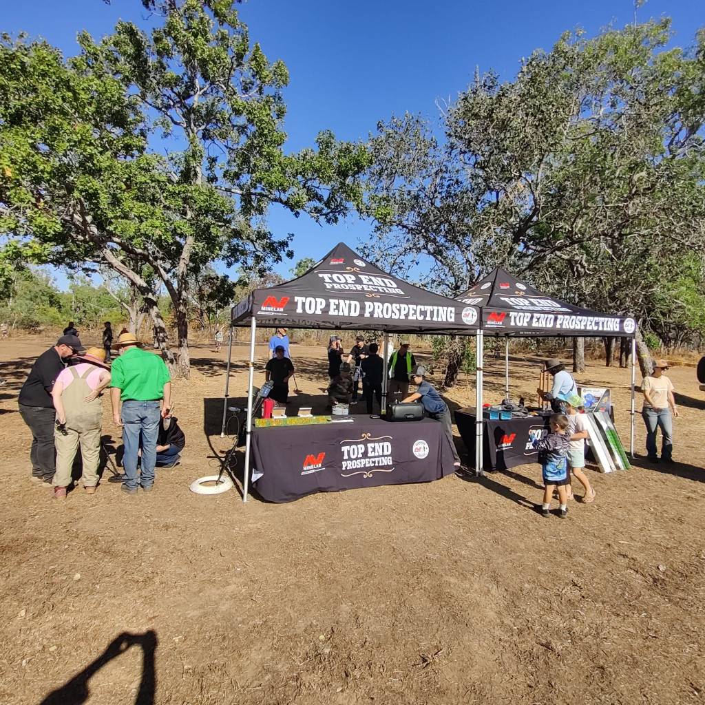
We didn’t try it, but you could try and wash some sand for gold and when you found something you got your nugget in a little glass container.
We then pushed towards Kakadu National Park, which we reached.
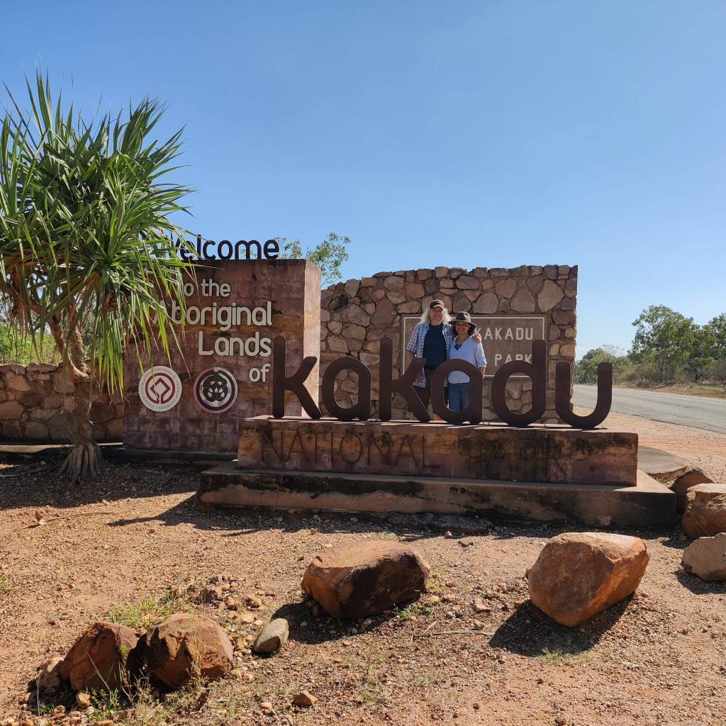
I had made a lot of plans for the trips to Bilkbilkmi George, Jim Jim Falls, Twin Falls. Most of the roads was 4wd only, but they were all closed, due to the storm in January, where the roads had been made unpassable. Only Burrungkuy and Nanguluwurr were open, since they were bitumen roads. However by the time we reached there it was late, so instead we drove on to Jabiru and booked in at Aurora Kakadu Lodge Caravan Park and settled for the night.
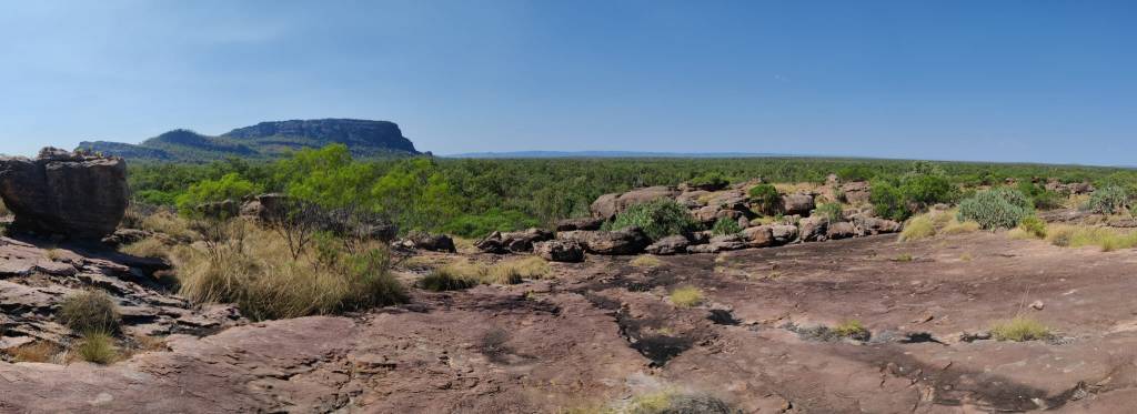
On the morning of the 28th of June, we drove back to Burrungkuy and Nanguluwurr, at Burrungkuy it was a viewpoint, where you looked over the vast savannah.
At Nanguluwurr there were some of the famous aboriginal cave paintings, we walked past a few of them. The aboriginals asked us not to take pictures, so we haven’t any to share, but all of the many cave paintings are documented in books and online.
From there, we drove to the most eastly point of Kakadu National Park to Cahills Crossing, which is a crossing across East Alligator River. East Alligator River is supposed to be the river with the largest concentration of Crocks in the world. So we hang around to see if we could spot any.
Now this is a long explanation, I’ll try to make it short, it’s well described online. Twice a day the tide comes in and travels up East Alligator River, when it reaches the human made crossing, it reverses the flow. Normally the river flows towards the sea, which is what happens here it flows from right to the left.
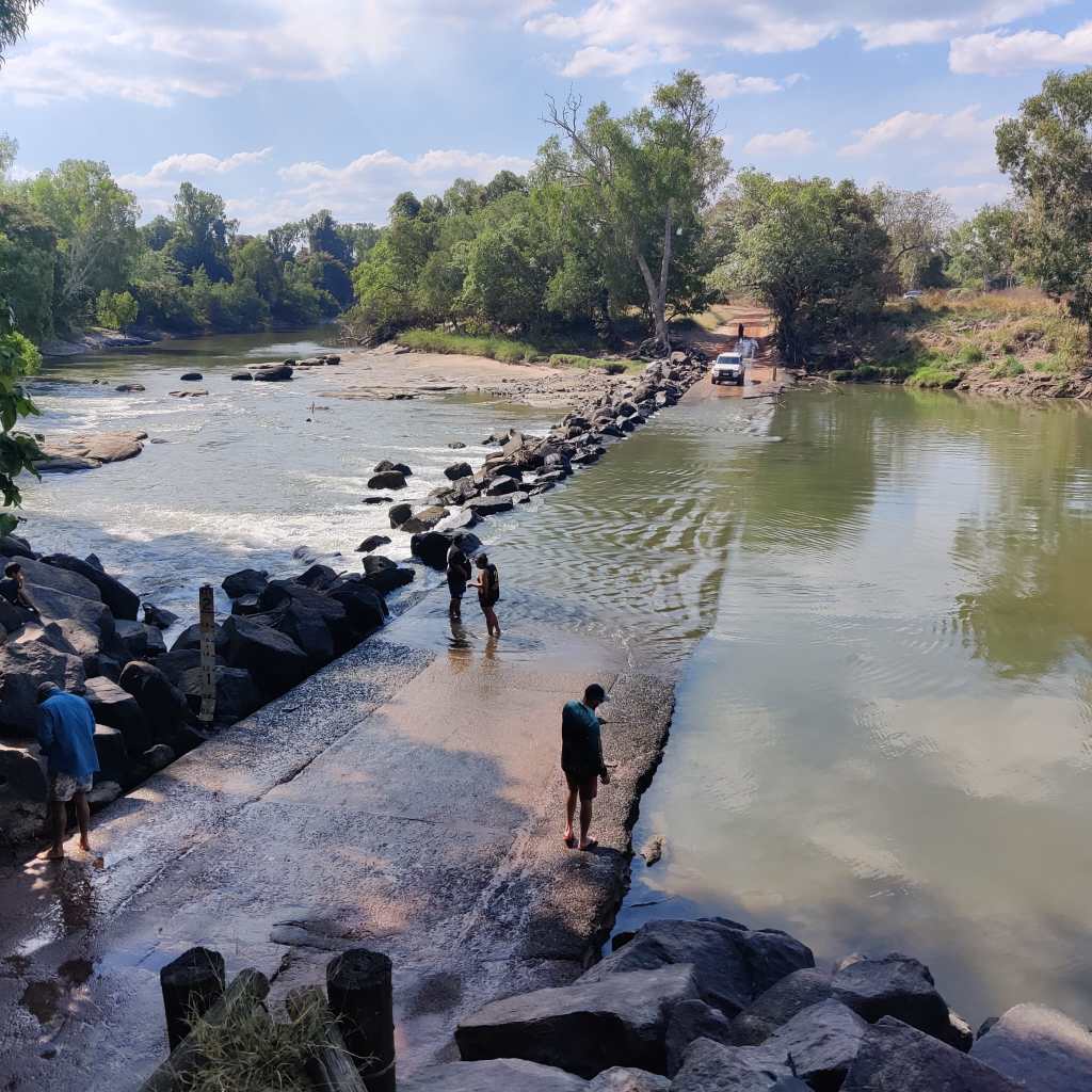
But during high tide, the tide comes up the river and literally reverses the river flow:
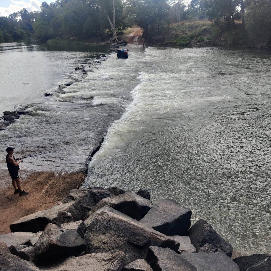
The thing is, this brings out a lot of fish and often a lot of Crocks to eat them. However we only saw one, just 10 seconds, then it went under water and we didn’t see it again.
I would have loved to cross over, but you need a permit to go over and into Arnhem Land, which is First Nation People only and which is twice as big as Denmark. We didn’t have a permit and the hired car is not allowed into Arnhem Land.
Once the tide again turned and no Crocks wanted to be spotted, we drove towards Darwin. Since all the exciting side roads were closed we ended up in Darwin, where we have booked 3 days at Lee Point Village Resort.
We talked to a few people, there has been some unsatisfaction with only a little part of Kakadu National Park being open, yet the price is still the same. But it is, what it is.
25th of June 2026
On the morning of the 24th of June we started late towards Katherine, along the Stuart Highway, the famous Highway North/South from Darwin to Adelaide, it’s good bitumen, so a short ride, we checked out Katherine, did a bit of shopping and checked in at Boab Caravan Park and just had a hazy lazy afternoon and evening.
This morning the 25th of June, we decided to check out the rather well known Katherine Hot Springs, which was only a short walk from the camping site.
We both for one hour enjoyed the flowing spring water, which apparently is always +/- 0,5 degrees from 31 degrees:
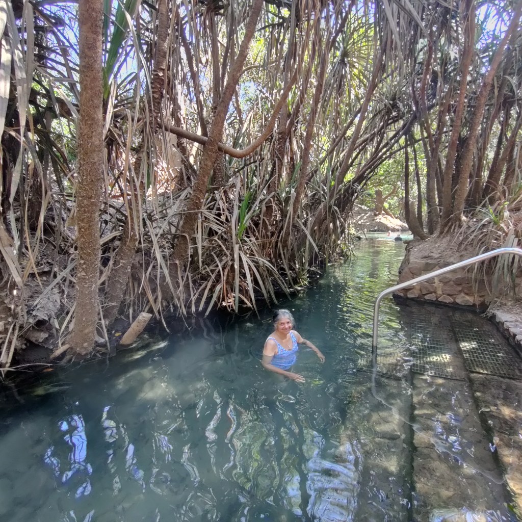
The rest of the day was another relaxing time in anticipation of the famous Kakadu National Park, where we’re heading tomorrow.
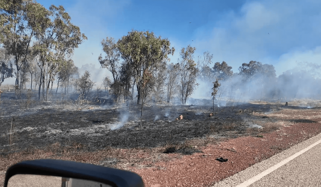
All along here, we’ve seen a lot of bushlands which was burned, most often on one side of the road, but not on the other side. Apparently, this is deliberate ‘maintaining’ of the land. The nature has got into a routine, where the fires are part of the circle of life. In Uluru National Park they told us, that all over Australia, they are now doing this, in cooperation with the First Nation People. There are plants, that only grow and blossom after a fire, then they throw their seeds and they wait dormant in the ground for the next fire, from 5 to 8 years they can wait ‘to get their chance’. Years ago we heard the same in Sequoia National Forrest in the US, where they also resumed regular burns.
23rd of June 2026
Today, 23rd of June, we got to leave Limmen Bright Campground in good time. The road was still a one track road, but in reasonable condition. To the end of Limmen National Park at Roper Bar there was 170 km. With these kind of roads we expected this to be the ride of the day.
Shortly after we left we saw our first documented snake:

These snakes are fast and they don’t see us as a ‘dinner’, so usually they just want to get away from the danger. So it’s difficult to get a picture of them, let alone a film, however we sort of succeded, at the bottom of the film in the middle:
A good Aussie friend has identified it for us, it’s most likely a Black-Headed Python.
The road got better along the way north, as it again became cattle land, I presume the roads improved to support the cattle stations. I loved the creek crossing and the sights, sometimes a bit gloomy:
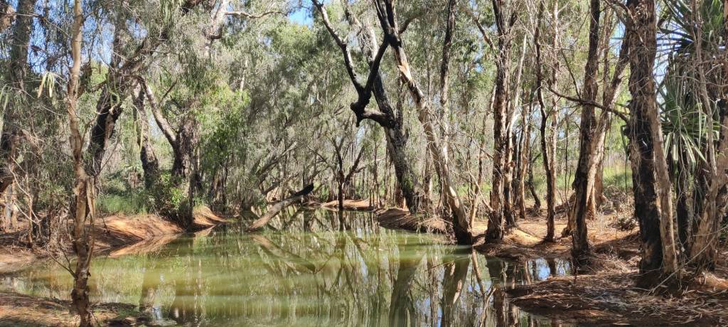
We arrived at Roper Bar a bit early, so we continued to Mataranka, where we’re staying at Territory Manor Motel & Caravan Park on Stuart Highway for the night.
22nd of June 2026
I forgot to mention, that on the 20th of June we stayed at Heartbreak Hotel. On the morning of the 21st of June, the sun was shining and there was a slight breeze. So, since the washing needed doing, we decided to stay for the day. Had it not been for the washing needed doing, when Sharon saw the dinner for the Sunday evening was Pork Roast, she would have insisted, on the trip she did a few times mention she missed her Sunday Roast.
Housekeeping was done and the Pork Roast was delicious, both the pork all the roasted accessories and the layout was good, Sharon told the lady, this is the best we’ve had in our 2 months in Australia.
In the evening I got a bit disappointed, as we had arrived at Heartbreak Hotel, the Northern Territories had opened the previously closed section of the Savannah Way between Hell’s Gade and Borroloola. This was the kind of information I’d hoped to get at the Burketown police station.
When the road was closed at the Queensland and Northern Territories along Plenty Highway, the inspectors from Queensland drove the closed stretch called Donohue Highway every day, so they started in Boulia, 251 km away and inspected the road, once they got to Tobermorey Roadhouse, they’d stop go in for dinner and a coffee, that way they staff at Tobermorey Roadhouse knew, the road is good, will open in two or three days if no rain.
But I could find no such information in Burketown, so on the day we arrived back on Savannah Way, it was opened. Had we known, we would have waited.
But today 22nd of June we continued on the Savannah Way, which is taking us through Limmen National Park, this has been an exciting drive, in the beginning the road was pretty normal gravel road, most likely because, there was cattle along that part of the road.
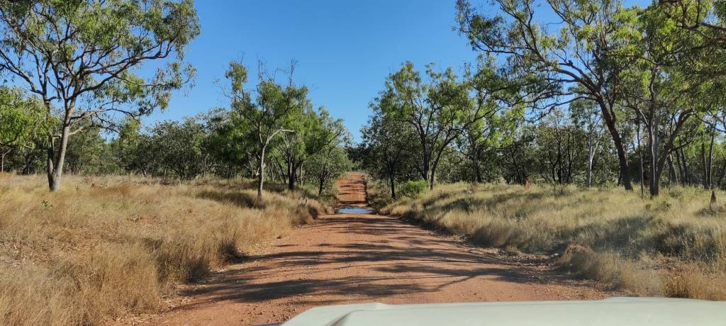
Later it turned into a single lane track,
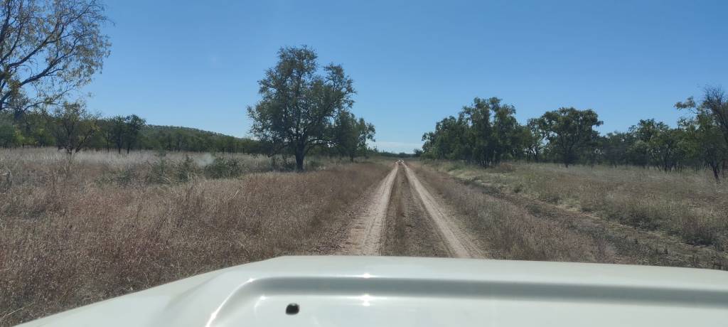
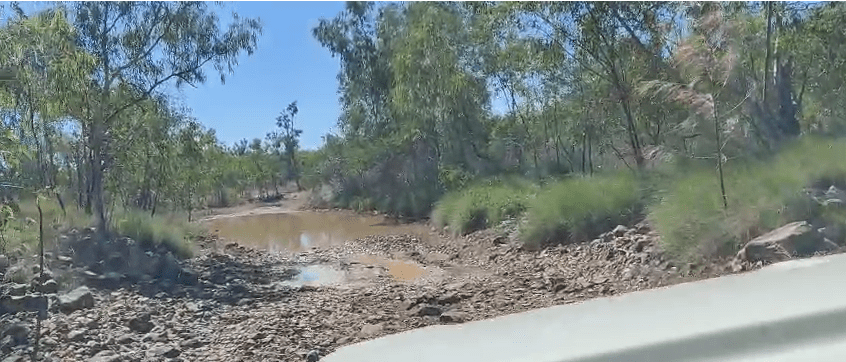
we’ve crossed many creeks with water, so it has been driving at a moderate speed.
We could post many exciting creek crossings, but here’s a few:
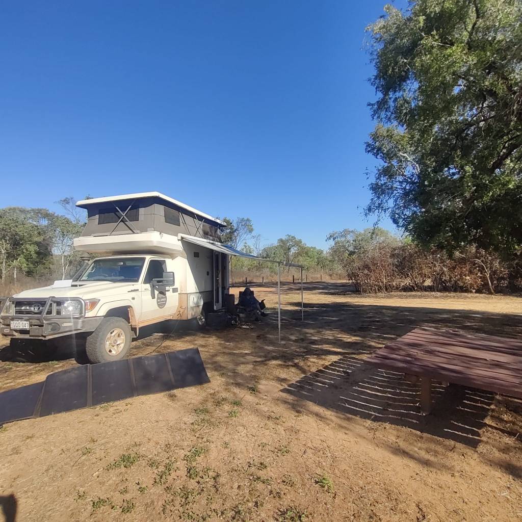
We’ve stopped at Limmen Bright Camp Ground, and here, almost 1700, we’re all alone in the midst of nowhere in Northern Territories in Australia. Now it is time to relax, make my wife a cup of tea and then later cook dinner.
20th of June 2026
On the 19th of June we left Camooweal and drove west. 252 km’s later we arrived at Barkly Homestead. In-between there was grassland and only one visible station. Taking some of the sideroads there would be more, but none visible from the road. This one station had two signs “no fuel” and a little further along “don’t stop”. We didn’t stop and arrived at Barkly Homestead the earliest on our trip.
As we stood waiting to book in at the campsite, Sharon and I must have said something in Danish. Incidentally there was a woman there with Danish parents, who spoke to us in Danish. It turned out her and her colleague were employees of the government, and were out to visit the towns, settlements and stations in the area, in preparation for a national count of people later on. And incidentally her colleague also has Danish roots.
In the evening we sat together for several hours. We’ve heard a lot about First Nation People. But he had actually lived with them in their communities and helped them to arrange their lives and create a livelihood. It was very rewarding to talk to these people and get some real inside information. They were not negative, but also realistic, about the First Nation People.
Today, the 20th of June, we set out on Tablelands Highway (highway 11) going north:
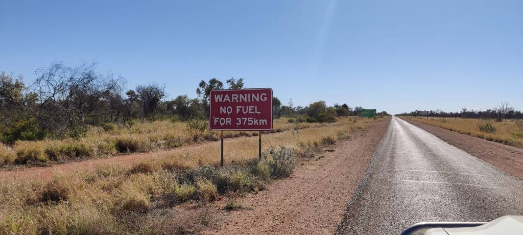
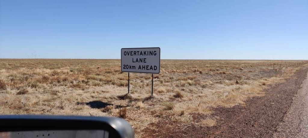
And even if this was mostly a one track bitumen road, there were good signs for possibilities to overtake, which could be necessary, as the speed limit most places on open land here in the Northern Territories is 130 km/h:
On this 352 km road, we saw 3 holiday makers, 2 road trains loaded with cattle and 4 cars, apparently with people working on the stations along the way.
And I was overtaken by one of the worker cars doing 130, he didn’t want to wait for the overtaking lane, so I pulled over 😉
The drive was as expected, a reverse of the south trip we’d done 250 km to the east. But with the difference, some of the land here was just grass, not other growth we could see, just flat grass land, reminded me of the prairie in North Datoka.
18th of June 2026
On the 17th of June we left Karumba, where we had watched the famous Karumba Point sunset the evening before as a goodbye.
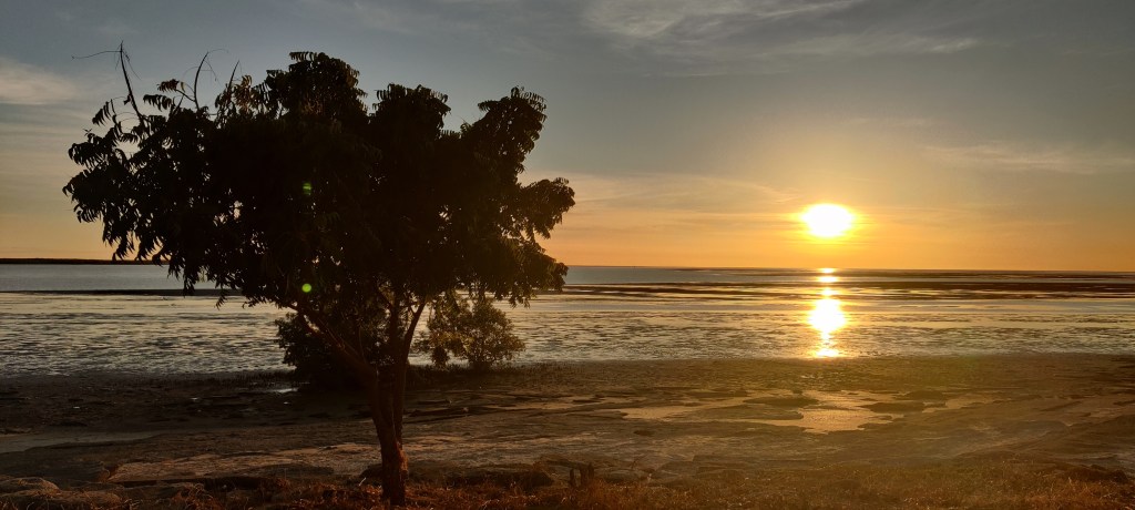
We had to go back via Normanton, where we tanked and stocked up at the supermarket. We aimed at Burketown and shortly after leaving Normanton we headed east on the Savannah Way. The way from highway 27 to Karumba was very flat, like 60 km completely flat, as we drove east, it was the same landscape, flat and grassy. For the same reason I believe, both stretches were full of cattle, but this road towards Burketown was mostly bitumen, but almost literally with a layer of cows muck on top, that is how much cattle was grassing here. We got to see the cowboys and cowgirls in action:
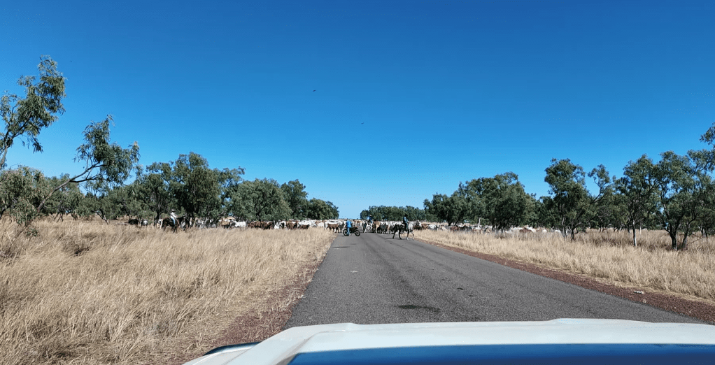
The video is worth a watch:
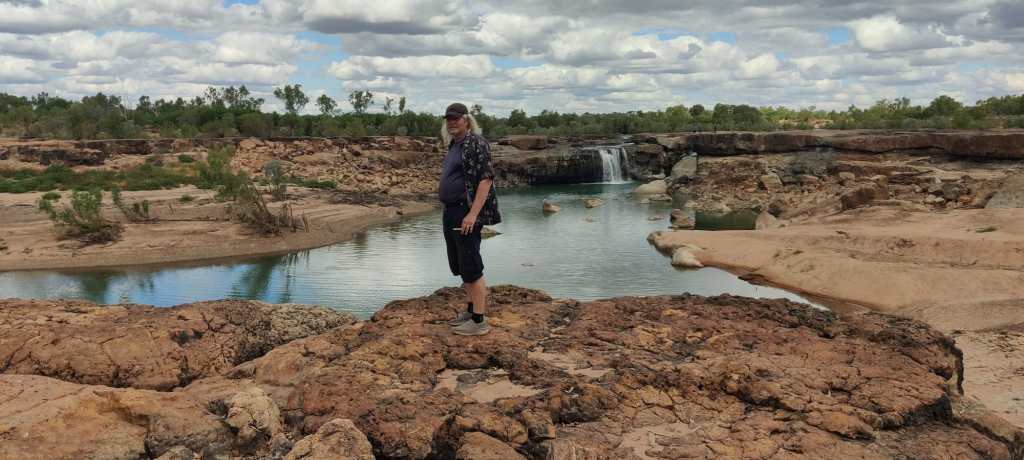
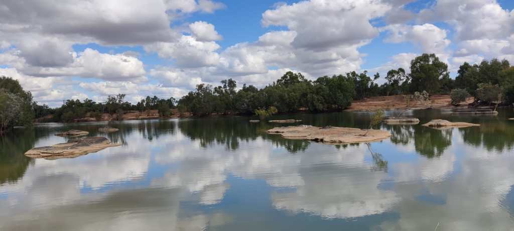
We continued east and about 50 km before Burketown, we passed Leichhardt Falls. You can camp there for free, and quite a lot of people did, so we joined them and also enjoyed the falls and also the wonderful tranquil waters before the fall.
Today, is the 18th of June and Sharon keeps asking me what day it is, and I can’t follow it any more, I usually just answer, it’s a good day! We’re roaming free in Aussie.
We set off early today, the first part was up to Burketown. I had heard rumours that the Savannah Way was driveable between Hell’s Gate and Borroloola, so we stopped at the local police station, which apparently only was open 2 days a week and for only 4 hours. We could phone the police station, which serviced this station, in Mt. Isa, which is 426 km south, figuring they would not tell us anything real, but just repeat what it says on the Northern Territories Road Website, we headed south. Passed the road to Hell’s gate, looked down it, almost shed a tear, then we drove south.
For a long way, it was the flat grass land, filled with cattle, but then the landscape changed into hills, and the gravel road winded itself among, up and down the hills. There were no more cattle or fences, the land belonged to the First Nation People. Only about 80 km’s before we reached Camooweal, it again became grassland with cattle.
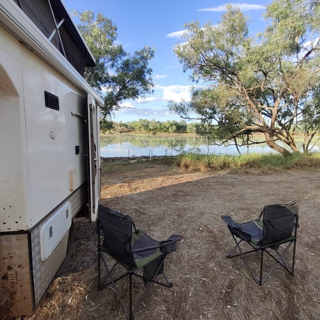
Just outside of Camooweal is Lake Francsis, there is a beautiful free campingsite, just out to the lake, where we’re settling for the night.
I’ve been reflecting on the Aussies and water. Many places here, they warn that water is precious and in some places scares. But all along the route, there are many public water taps, where we can fill water into our 80-litre water tank in the motorhome. Small communities of 8-10 houses often offer free portable water, for drinking, or bore water for cleaning. This in my opinion portrays a very strong community feeling amongst Aussies.
Tomorrow it is 260 km east, then again back up north 429 km to rejoin Savannah Way. I expect the same type of landscape as we experienced today going south as we go north on the Tablelands Highway, a single track bitumen road.
16th of June 2026
In Croydon, while in it’s peak gold rush time late 1800’s, there apparently was 16 hotels in town, now only one remains:
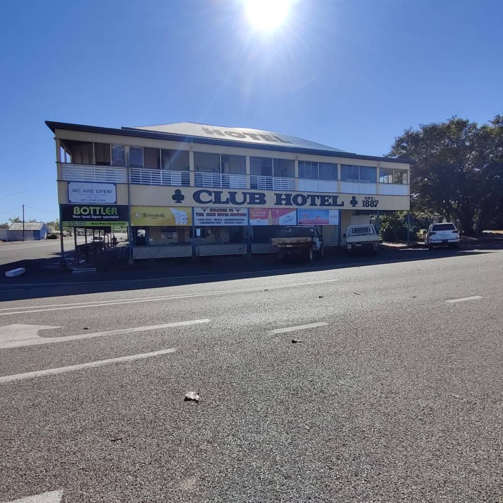
The interior in many ways looked like it may have done back in the day. Very charming.
On the 15th of June, we drove from Croydon Rodeo Grounds, via Normanton to Karumba.
The road was once again The Bush, lots of cattle, few national parks. There were no settlements on the 154 km drive, so it was done in one go.
We stopped at Normanton, where we tanked and looked in the local supermarket. In Cairns the 24 packets of 600ml water were 8,95, when we were in Coen the exact same water was bought for 32,95, in Normanton 21,95, seems to be expensive to live ‘out back’. Yesterday we bought something in Karumba, it was a certain price, at the till 20% was deducted, which turned out to be an ‘out back’ discount re-imbursed by the government to the supermarket.
I’ve been very careful during our whole trip, whenever we passed or were overtaken by road trains, lorries or big vans, I’ve stopped up and pulled as far out as I could to avoid damage to the windscreen. So on the bitumen road from Normanton to Karumba it was solid and no apparent loose stones, a lorry passed and threw a stone on the windscreen, which is now cracked 😉
We at Points Fuel Caravan Park for 2 days.
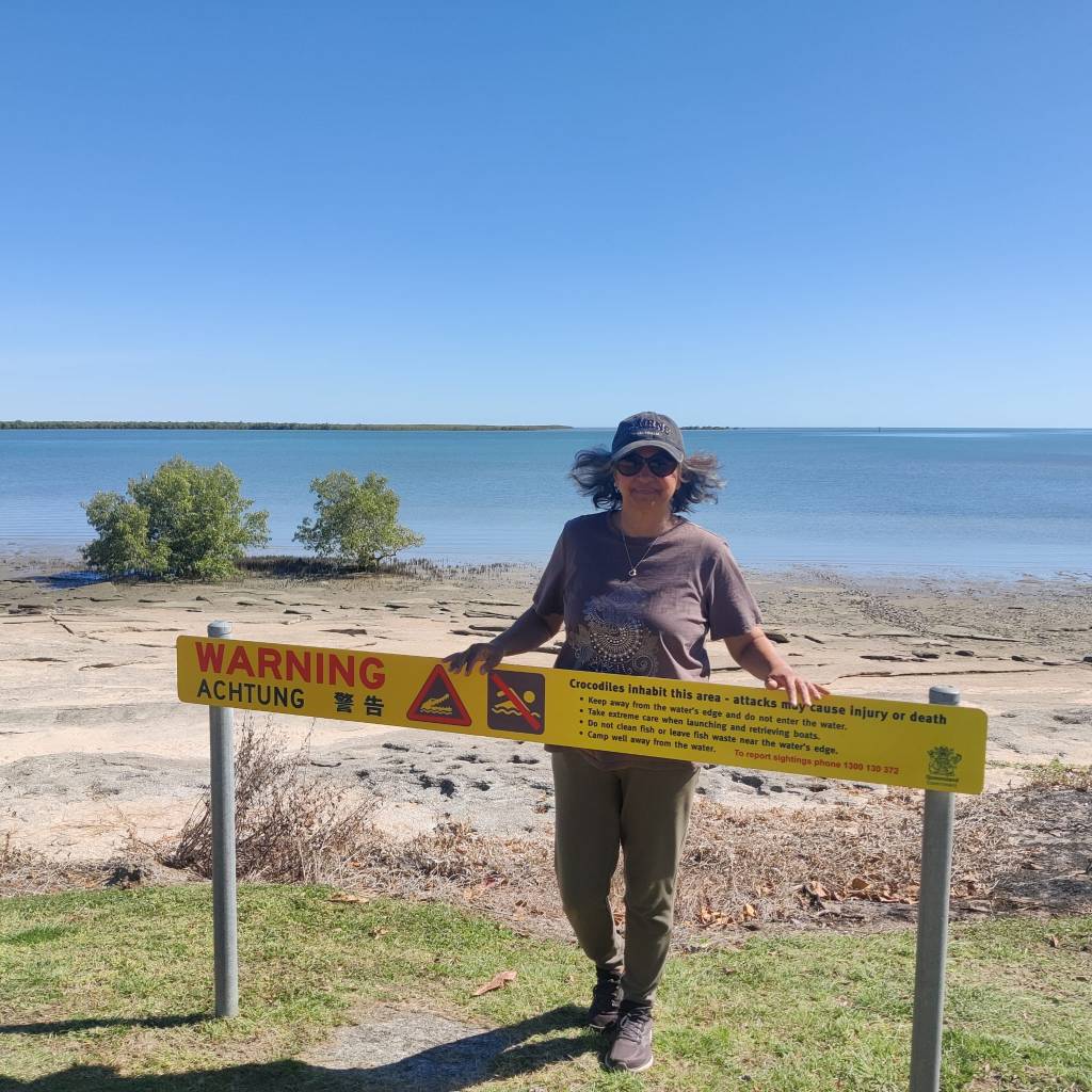
We went for at walk along the beach here, where the mangroves and the sea meets:
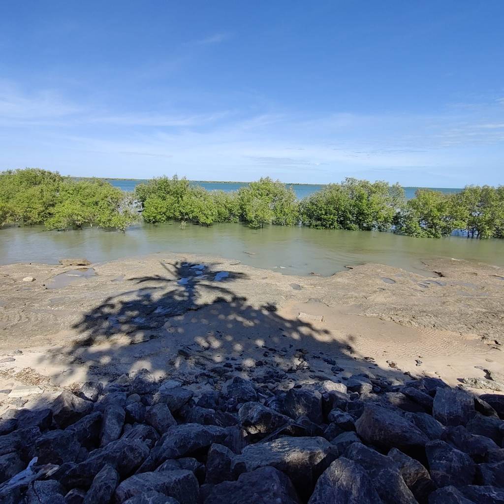
We sad on a bench, not far from these mangrove trees, when an eagle came flying in from the waters, with a fish it had caught in it’s claws. It settle in a tree not far from us, where we could observe it eating it’s catch.
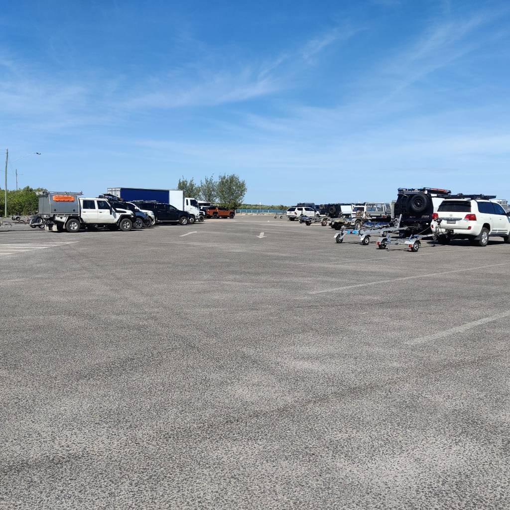
And this IS a tourist spot, spoke to another friendly Aussie for ½ an hour, he lives here. He told us they like us tourists, but for about 8 months a year, they are completely isolated, no way to get here but by boat. He also named all the fish being caught, by the people fishing along the shore. There is a huge parking lot here, and even if it is a touristy place, there is no buses or big hotels, seems to be individuals coming here, mostly to fish, the campers next to us on both sides have boats:
Now I have to praise the Aussies, they are very friendly and good at a short chit chat. But this caravan park, was on the WikiCamps site, but no signs, we asked at the fuel stand, and it was behind the fuel stand, hence the name. But this guy couldn’t care less, hardly said a word, so unusual. But he’s 40% cheaper than all the others in town, and there are the necessary amenities in good order, so we’re good.
So we’re doing Sharon’s thing, relaxing. And it’s nice.
I can’t help but compare the clean roads here in north Queensland and actually most of the places where we’ve driven, except for some of the First Nation People areas, where they have some catching up to do in that area. Denmark is known as a ‘clean’ country, but we live in Ishøj, where people apparently dump everything out the car window, once no longer needed, if Australia is not cleaner, they are pretty close.
Now we’re looking forward, I have planned the Savannah Way, and even looked forward to it, the stretch from Hell’s Gate Road House to Borroloola was the most exciting and remote stretch. Unfortunately the road is closed. This trip was planned to partly do this stretch and timewise it is very rarely it’s closed so long into winter, but it is.
During the whole planning, I’ve known the route could be problematic, so I have considered what to do, if things were shut. So instead of the posted route, we now have to do this:
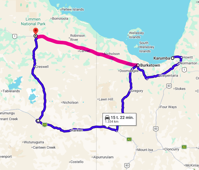
The red was the planned route. The blue is the 420 km detour we have to take, to rejoin Savannah Way in McArthur. But can’t you find another route? no! There is no roads for Second Nation People, between the red and the blue lines. There are some roads and tracks, but you have to apply the First Nation People for permission and it takes time, so the blue route it is.
14th of June 2026
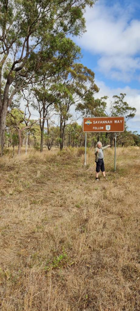
On the 13th of June, we once again drove west. The country side became stations, with a lot of cattle, from time to time, there is a national park, where there is not fences and wildlife roam around. But this is definitely cattle land. We found a little free camping spot at Cumberland Chimney. This whole route 1 between Cairns and Normanton is old gold digger land, and the history here is accordingly. Many towns existed in those days, but now they are gone. Here at Croydon Information Centre, the guy told us, many Europeans ask about the heritage, but in those days, towns were build, where gold was, once there was no more gold, the town was dismantled and the materials, which were scares in those days, transported to the next adventure. So there is not many heritage buildings.
But here in Croydon, they did have some, a courthouse, police station, prison cells and a few more. They could be freely accessed and was interesting to see. In the courthouse it was set up with all the original furniture from around 1889. And a real court case was run before you. A lady had been swearing in public, the case took 6 minutes, she used the same words in court and was sentenced to 2 months in federal prison in Normanton for swearing. They told us, that a drug dealer had been sentenced in the same court around the same time, he was also sentenced to 2 months in federal prison in Normanton.
Things have changed since then 😊
The guy at the information here at Croydon, sounded precisely like our Aussie friend Andrew, so it was hard to listen to him, with looking at each other and wondering, what is Andrew doing here. We thought he told us there would be a rodeo at 1500, but we must have heard wrong, we booked in at a local campsite near the rodeo .. But there is no rodeo.
So we’re just having a lazy hazy afternoon, sitting in the shade, because the winter sun in pretty hot for a set of Vikings (at least one Viking and an adopted one).
Tomorrow we’ll do a longer trip. The countryside is open and interesting, but there is far between people out here, so we’ll aim for Karumba, the only beach on the Western Queensland coast assessable by bitumen road, we may settle on the coast for a few days, before resuming gravel road travel on The Savannah Way.
12th of June 2026
On the 10th we stayed at a hotel in Cairns, as the car was in the garage. During the day we had another opportunity to visit the centre of Cairns and re-visit the shopping centre. In the early afternoon the car was ready from the garage and we picked it up and went to do some shopping for the road. The hotel had a locked parking lot, where we parked overnight as we had booked 2 nights. On the 11th we took the car to the tyre shop to have the two back tyres changed, which had been damaged. While waiting we once again visited the shopping centre 😊So Sharon was happy as we mid afternoon finally got the car.
Formally The Savannah Way starts in Cairns, so we get to do the complete trip, where we originally had planned to do it from Chillagoe.
As we drove out of Cairns and via Route 1, which also is The Savannah Way, west over the big hills. Once 26 years ago I also drove over the Blue Mountains from Sidney, that was an experience, but this was just as exciting, as the road winded up the hills in the rainforest, so beautiful. We had gone down the road a few days before, but the car wasn’t in best state, so we didn’t get to enjoy it as much.
On the other side of the hills we drove into the Atherton Tablelands, which is an extremely fertile piece of land, which also once was rainforest, but which has been cleared in many places and now produced all kinds of harvests for Australia, including 70% of all the coffee.
Just on the other side of the hills is Mareeba, by the looks of it, a prosperous town in the rich fields of the Atherton Tablelands. We had a walk and enjoyed the town.
For the night of the 11th June we stayed at Mt. uncle RV Camp, which also was a distillery. There was a bar, where produce from the distillery could be bought and you could buy small drinks of it to try it. But it closed 1730, and we’d arrive not long before.
This morning 12th June we had a slow start, we walked around the grounds, where they had all sorts of animals and it was in the middle of a banana plantation. Such a nice place out in the country side. Some of it decorated with old vehicles:
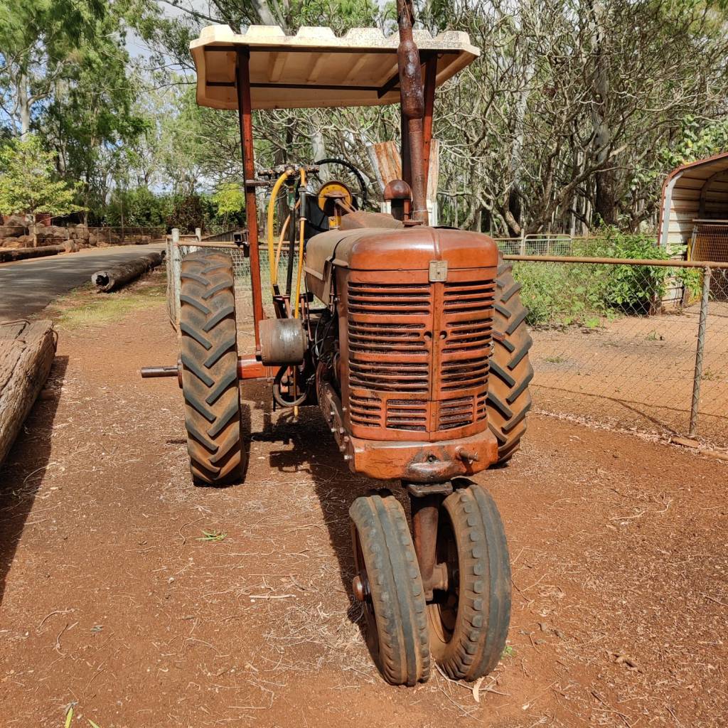
We then got back on the road pretty late in the morning, most places have a very strict checkout time, but this place had not said anything.
We visited Atherton and had a walk around the centre. Later we again ventured into the rainforest, at the Mount Hypipamee Crater. Apparently it’s a crater, blown up from below, the walk through the still dense rainforest and the crater itself, was a good experience.
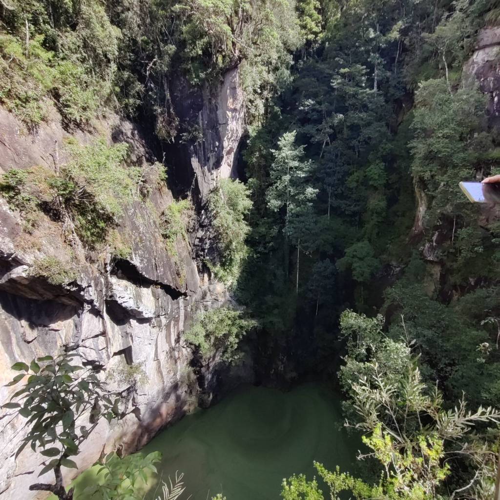
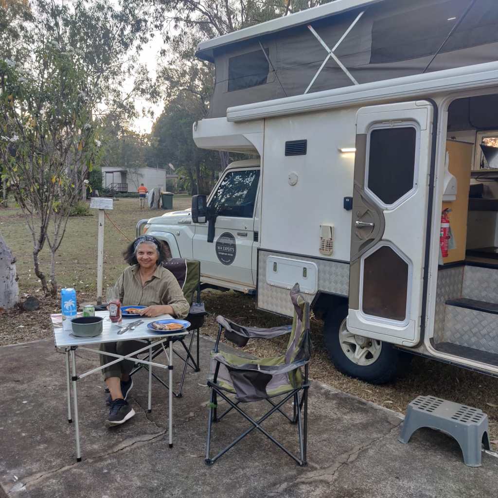
So todays drive was another short one, with a lot of experiences. Now we settle down at Mount Garnet Travellers Park. Here there was hardly any flying insects outside, so for the only second time, we could have our meal outside, so nice in the tropics:
Yesterdays and todays drive was again an experience, we’re driving due west and from the tropics and humidity of Cairns and the rainforest on the hills west of Cairns, we came to the farmland on the other side, so rich and full of growth. They have left some patches of rainforest and they still look like small rainforests. But not long west, the land slowly changes to grassland, especially west of Atherton, where livestock is grassing and the rainforest is now becoming more like a regular forest, we’re bit higher up, so even if we are in the tropics, it’s not so humid anymore and it get’s a bit cold in the evening. We talked to a lady in Ravenshoe, apparently the highest town I Quensland, who said they can get down to -7 during these winter months, even in the tropics.
We’ve fired up the hot water bottle … just in case.
9th of June 2026
The original plan to go via Dixie Road to Normanton could not be done, since the Michell River crossing at Maramie was closed, this would take a reroute of about 150 km, and take more diesel than what is in the tank and I was not going to drive relying on the canister diesel.
So on the 8th we took Palmerville Road down to Chillagoe. Unfortunately, there was some mudholes and they effected the engine, so the alternator and the air-conditioning stopped working. We made it to Chillagoe, where we found a mechanic. He did not have time to help us, but said, we’d be OK to go to Cairns.
So now we’re in Cairns, booked into a hotel, as the car is in the repair shop. So we’re having a holiday from the Road Trip … But we will be back.
The Palmerville Road was a station road, we did see some Stations and lots of cattle on the way, but not much people. It was an experience, but going forward, we’ll stay with the planned trip and if problems arise, find more trafficked roads to travel on 😊
The Northern Peninsular of Queensland has showed us a bit more wildlife than the first month together. We’ve seen dingoes, emus (apparently a mother with her 4 chicks), small kangaroos in the forest a lot of bird life, including eagles and falcons.
5nd of June 2026
We left Coen in the morning of the 3rd of June to continue the rod trip north, we made a good run, and stayed at another lookout place about 80 km north of Bramwell Junction Road House, again we had it all to ourselves.
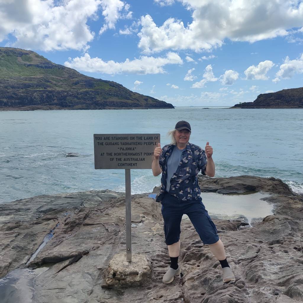
The next day 4th of June we only had a couple of hours drive to Cape York (Pajinka), on the way we stopped in Bamaga, where we filled the diesel. Then we went to the local supermarket, where the staff were busy filling the shelves. We later camped beside some Australians, who told us, they’d been there the day before and there wasn’t much on the shelves. We had been wondering how they got stuff up there, the personnel had told them, it was shipped in through Seisia and they were expecting a shipment that day.
We drove the last 40 km up to Cape York. The drive from Bamaga to The Tip as they also call it was on narrow roads in rainforest and sometimes just forest. This road seem to be used only up and down from The Tip.
We had to park about 1 km from the actual tip and walk across some small hills, the very first part was pretty steep and I was not sure if Sharon wanted to try, however she did. We walked and climbed (old people climbing, not Mount Everest climbing). When we got out there, there was a decent to the actual point, Sharon could see it and was satisfied:
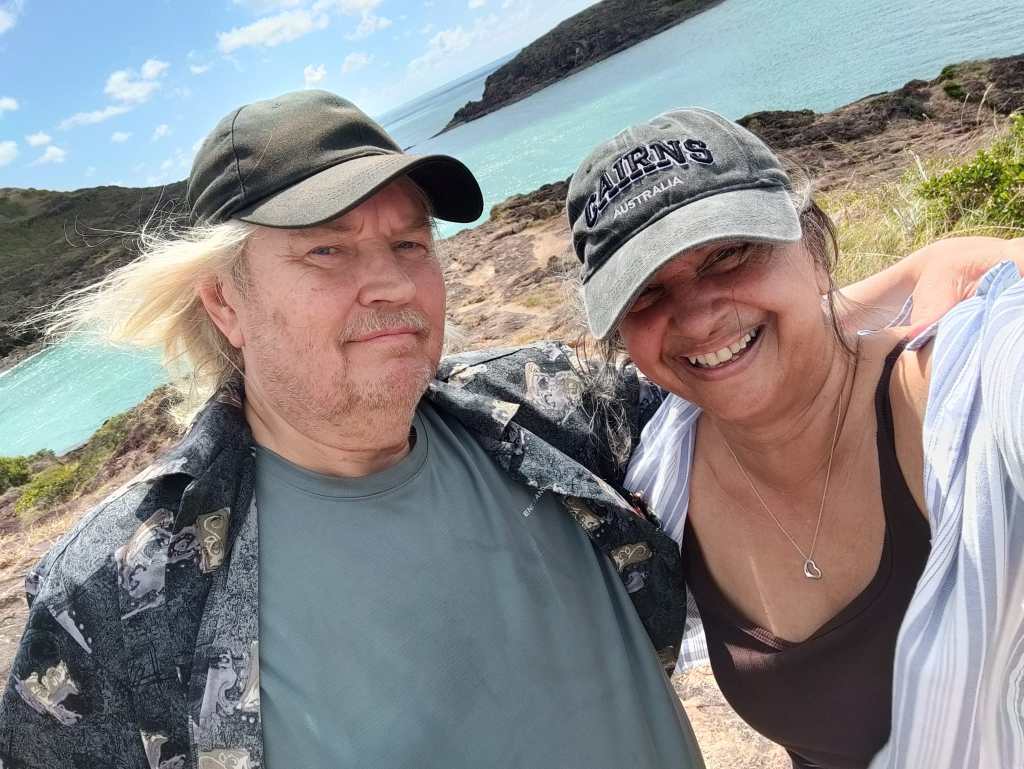
I did go right down there:
When we got back, we found out, you could walk along the beach, no climbing (Please don’t tell Sharon).
We drove back and found a free campsite for the night, Mutee Head Free Campsite, there was already a young couple our kids age, with two boys of 2 and 5. We had a nice time with them.
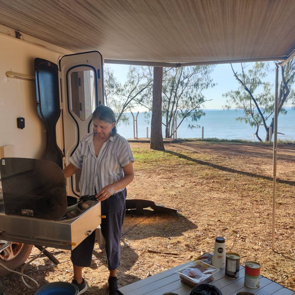
This morning we again visited Bamaga and then again headed south. We stopped a bit early at Bramwell Junction Road House, where we’re staying tonight.
Now we are well on our way back from this adventure to the very north of Australia. It is a 1000 km each way, as there is only one way up and one way down, when driving. Between Laura and Bamaga there is 670 km, there is one settlement on that road: Coen, otherwise there is a station like Bramwell Junction Road House, so we saw a lot of land, mostly forest and table lands. We saw some small kangaroos and lots of cows. There are quite a bit of cars on this road, leading forth and back, but this seems to be on a bucket list for many Australians … Yes it was an amazing experience, lucky to have experienced such a part of the world.
2nd of June 2026
We’re not Squatters, but on the evening of 30th May, as we evaluated our time in Cairns, we suddenly realized, that we’d overstayed. We had only paid 3 nights, but was going into the 4th night. The next day I contacted the office and apologized and paid.
Now it was a very happy thriving Sharon I had to get ready for the road, but we set of north along the coastal road. Made a stop in Port Douglas, where we got coffee and cake to celebrate some good friends of ours, who has special memories of the place.
Sharon did get suspicious as we approached the Daintree River and had to cross on a ferry. We then went on from there on the touristy road going north through the Daintree Rainforest.
Apparently, Daintree Rainforest is the oldest rainforest in the world, the road was narrow and, on both sides was the dense rainforest. Due to the way the road was up and down, left and right, it was slow going, so we didn’t get as far as I hoped, yet further than Sharon liked.
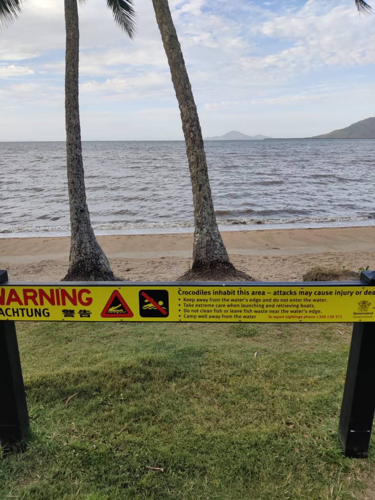
Along the way, there was viewpoints to see beaches. There are so many beautiful beaches, but no one there. And the few people there, just dip their feet … Stingers and Crocks.
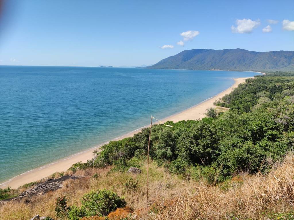
We stopped for the night at Daintree Siesta, a camping site, where there was one other visitor. It was getting dark, as we’d had difficulty finding a place. The man advised us to use a torch when we were going out at night, to avoid treading on the snakes. The camp site was literally cut out of the rain forest; it was totally surrounded by a very dense forest. Now the noise, have no idea which animals, but they made more noise, than the motorway passing, where we live.
On the 1st of June, we got up and drove a few km’s to Cape Tribulation, where we stopped before we ventured out on the 4wd track only from Cape Tribulation to Wujal Wujal, this was an exciting drive, I’d looked forward to for a long time, the track is not challenging, but there is a bit steep and winding, sometimes 31% up and down:
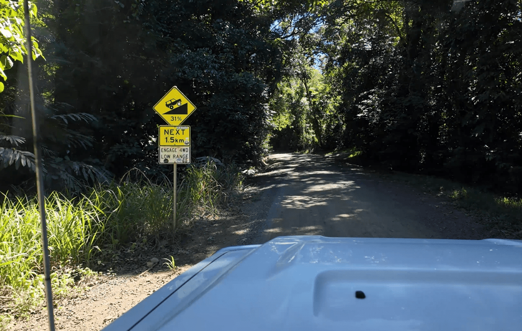
I do have some films, but it’s hard to see how steep the climb was.
Sharon was less impressed, she took up filming the adventure, to forget reality. However we reached Wujal Wujal with no problems, on the trip we saw our first snake, it was fast across the road just in front of us. Sharon was filming and didn’t see it, I was concentrated on a 31% clime and just noticed it.
After Wujal Wujal, we drove along the river towards Cooktown and there we saw our first wild crock, laying on the other side of the riverbench sunbathing, apparently completely ignoring the Danish health advice to use sunscreen.
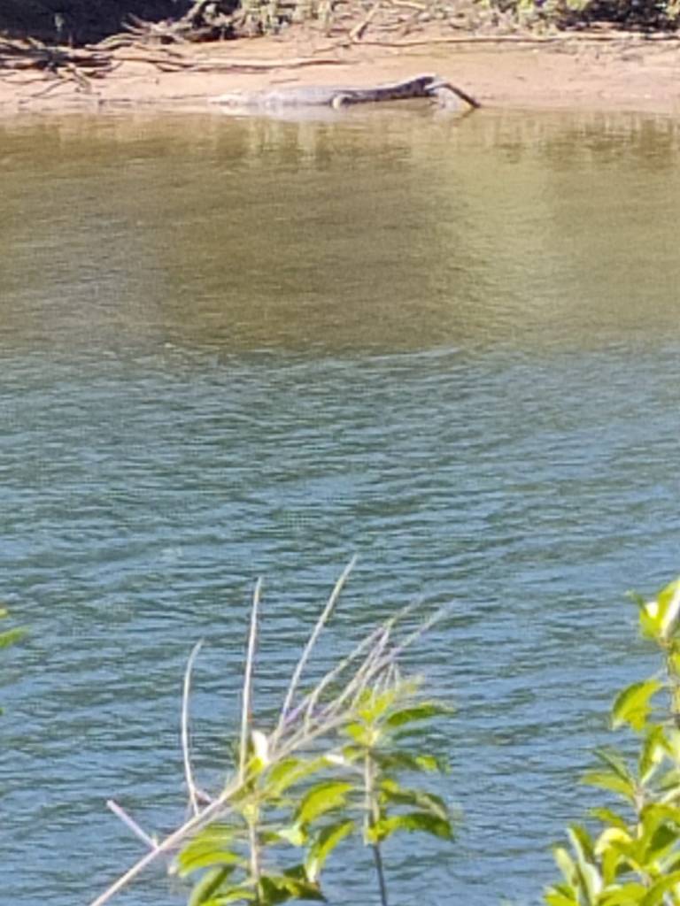
We saw several more crocks along the river.
We stayed I Cooktown overnight.
Today, 2nd of June we resumed full Road Trip mode, I with excitement and Sharon still kicking and finding ‘reasons’ … But Road Trip it is. So as we left Cooktown, we drove into the middle of the Peninsular to drive north in the reasonable flat landscape, in the beginning the road was bitumen, later it was bitumen and gravel roads. But even the gravel roads are better than The Great Central Road and there’s a lot more traffic.
We managed at good run to Coen, where we’re staying tonight.
30th May nd2026
Yesterday 29th of May and today 30th of May we’ve had a tourist break from our Road Trip.
Yesterday I went to The Great Barrier Reef, with Great Barrier Reef Cruises, It was a great experience snorkelling for an hour and seeing the reef from a submarine. Sharon doesn’t like smaller vessels on the sea and was more than happy to thrive at the Holiday Camp.
Today we went on The Kuranda Scenic Railway to Kuranda, where we spend the day as Tourists in a touristy place 😊Most people take the train one way and the Skyrail the other way, however the Skyrail is under repair, while we’re here, so we took the train both ways.
For both of the above experiences, there is lots of information and pictures online, which I can’t really enrich much. We had a touristy time and enjoyed it.
Tomorrow we’ll slowly pick up Road Trip speed again going north along the coast towards Cooktown, from were we’ll resume full Road Trip speed. On the way we’re going to visit Port Douglas, where some good friend spent some important time years ago.
28th May 2026
We woke up to a very quiet morning at Murray Falls on the 26th May, had a walk around at the lower part of the falls, where it was possible to go for a swim and indeed some people did.
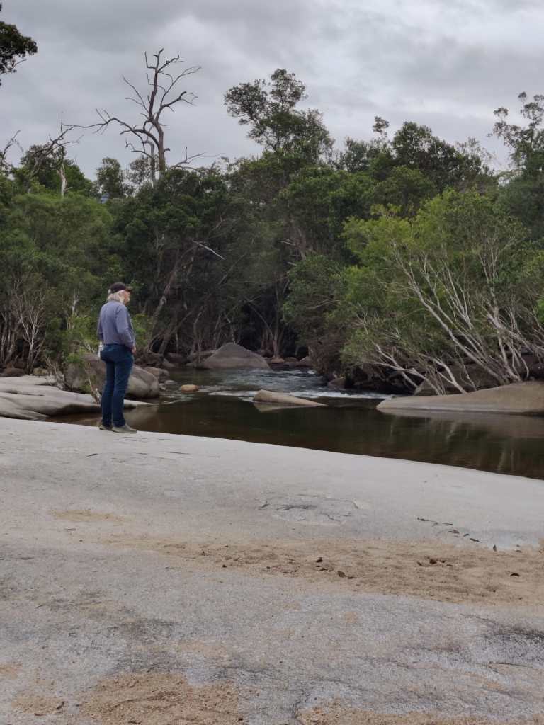
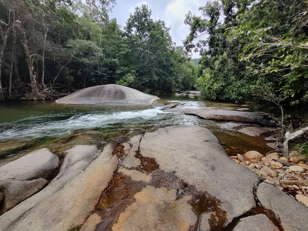
As we now drove north toward Cairns, and east towards the coast, we came into Cadwell State Forest, where they had preserved the rainforest and it was possible to drive in and see the rainforest from the inside:
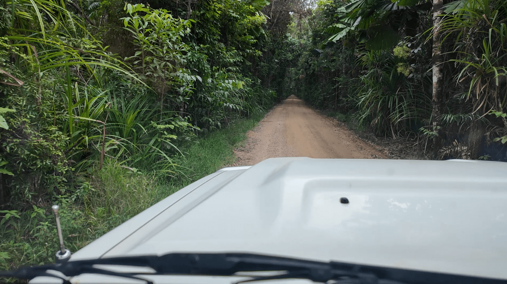
The rainforest is really dense here. We’ve seen similar rainforest densities at Iguazu Falls in Argentina / Brazil and in Florida. Here in Queensland man has cleared a lot of the rain forest, planted mostly sugarcane and banana.
We visited Wongalin Beach, where we made a cup of tea and praised ourselves for our achivements:
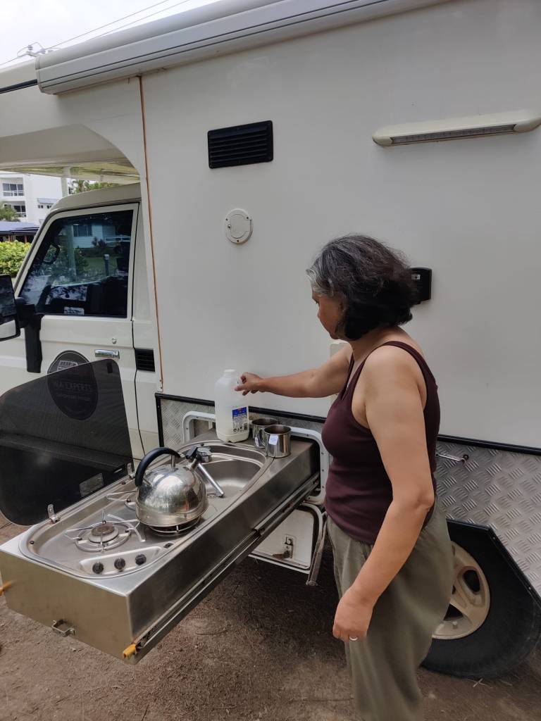
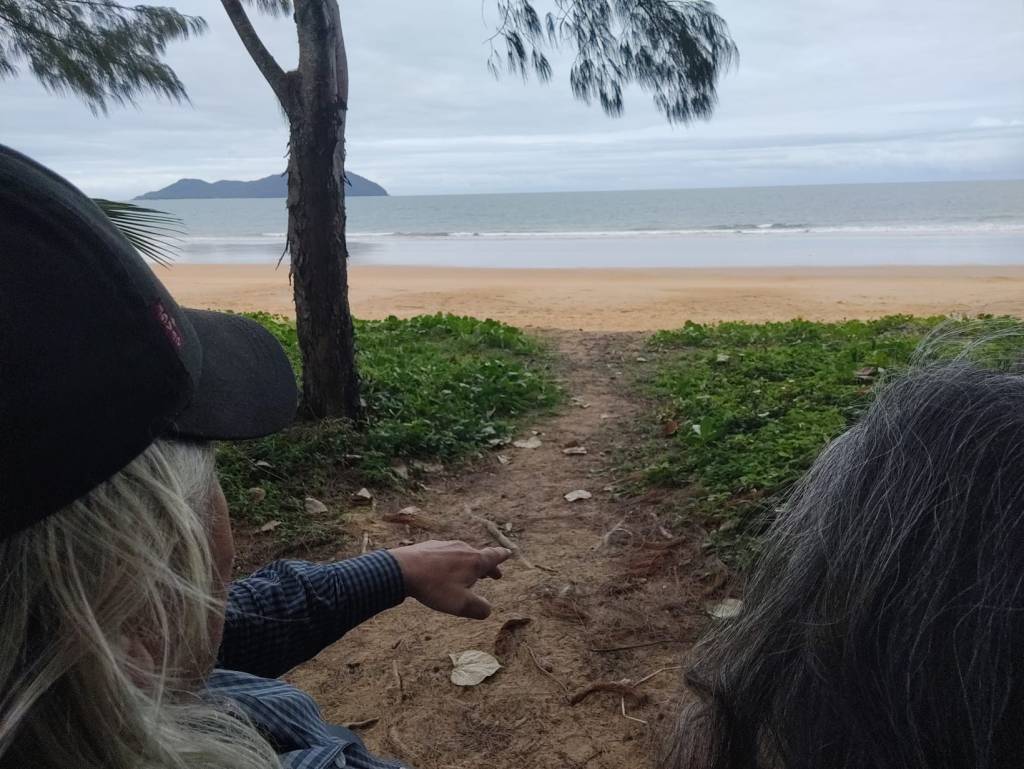
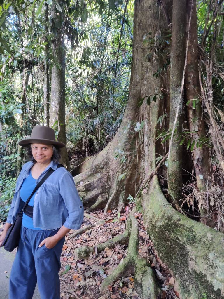
From there it was a visit to Josephine Falls, another impressive waterfall, where there was a good walk through the rainforest to see the falls. Caught a good picture of one of the trees with Sharon next to it:
We stopped at Mission Beach, right out to the Pacific Ocean. It was the true tourist trap experience, I was trapped and got chips and bangers, while Sharon:
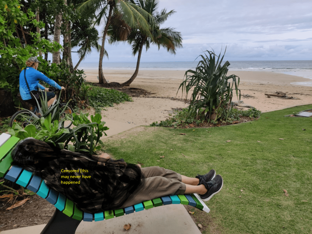
This is pure fiction, it may never have happened.
We arrived at NRMA Cairns Holiday Park, where we booked in for 3 nights, before taking a little drive around Cairns to see our new home for awhile.
The housekeeping was done this morning, washing all bedsheets and clothes, put away, then afternoon coffee and the sun is shining.
We’ve really arrived in the tropics now, the temperature is winter warm 26-28 here, but the humidity is very high, I love it, Sharon endures it. The hotwater bottle, used during the cold desert nights, have been put away, the quilt is more in the way, than doing any good.
Now we are tourists, Sharon is thriving with doing nothing, so tomorrow she’s sent me to the Barrier Reef on a really touristy boattrip, while she’s … Thriving?
On Saturday we’ve booked at trip with the Kuranda Scenic Railway, often people take the train one way and the cable Skyrail the other way, but the Skyrail is closed for maintains while we’re here.
26th May 2026
We woke up in the morning on the 23rd of May, it was going to be a driving day, so we set off early. We reached Winton, where we tried to get dinner, but all was closed, so we pushed on towards Townsville, about stopping time we reached Corfield, once a little community with a bar, based around a train station, there was 8-12 houses left, the train station had long gone and the bar was closed. But this little community maintained a little camping site, with facilities, all free (you could make a donation if you wished … we did). What amazing people.
The next day we again pushed towards Townsville and stopped for the night at Bivouac Junction Holiday Park, just down to the river. Here the kangaroos seemed to be less afraid of people and roamed on the verge of the camping ground and apparently just as curious about us, as we were towards them:
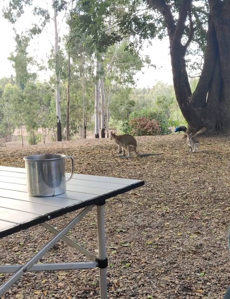
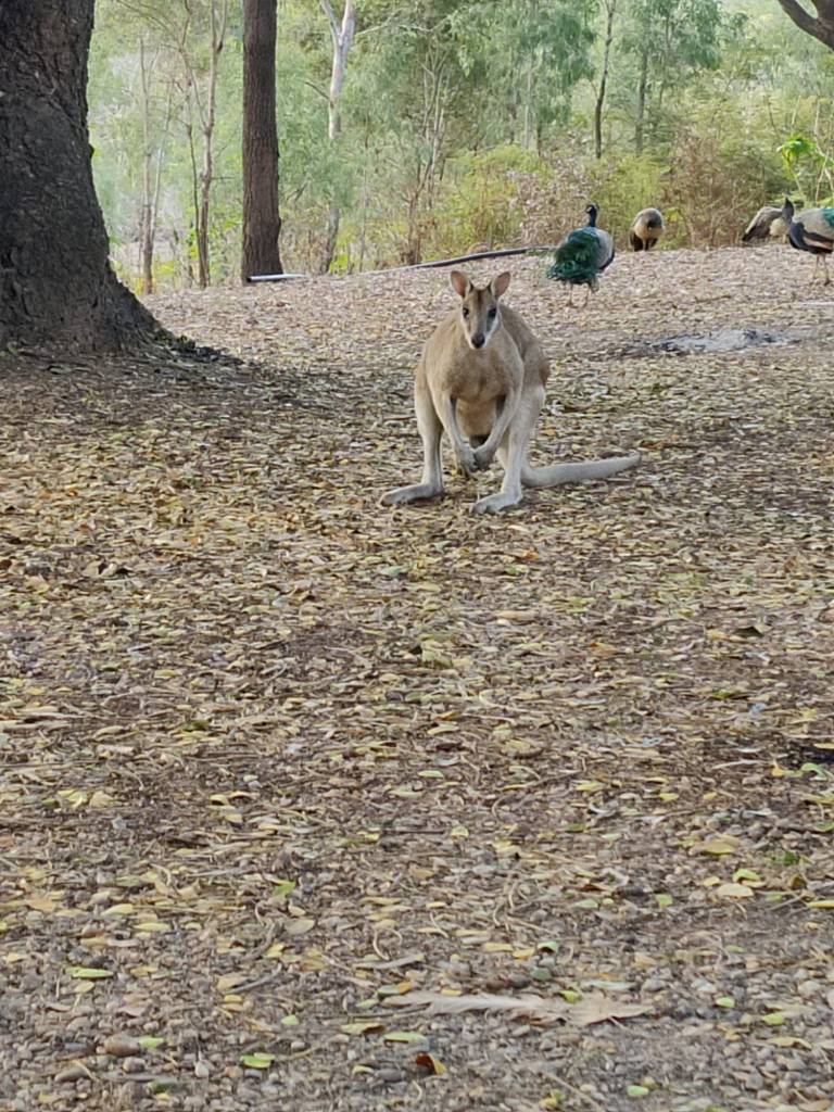
And they’re alive:
At the holiday park, we met some nice Australians (you know, there’s an amazing lot them). They said that we’d not enjoy Townville, it has one of the highest juvenile crime rates in the country, so we’ll spend a little time in one of the other bigger cities. Instead they recommended a camping ground at Murray Falls Girramay National Park.
We reached the Coast at Carwell, where we saw The Pacific Ocean for the first time.
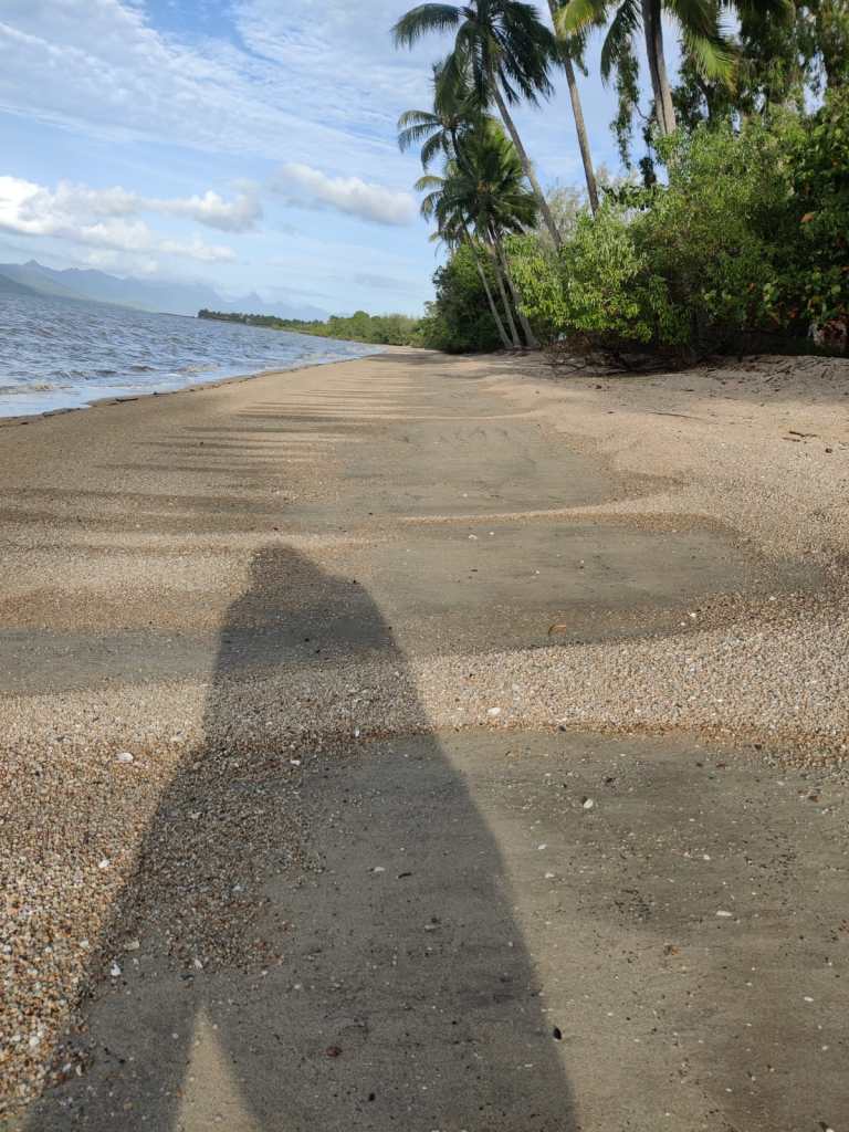
However we refrained from taking a dip in the Pacific:
We’d done the cross Australia west to east via The Great Central Road in 20 days. And it has been a great Road Trip experience.
Reflection on the past 4 four days of driving. The farms In Northern Territories and west Queensland were big, some as big as the Danish island Fyn. As we entered Queensland from Northern Territories, the land was still farm land, mostly cattle farming. As we drove east, it was obvious that from the cattle farms in Northern Territories into beginning of Queensland, where it was on desert land and there was a low density of cows. But as we drove east, the grass picked up, the so called trees in the desert, which apart from the riverbeds, wasn’t more than a bunch of branches sticking up of the desert ground, we saw more and more trees with a proper trunk, it was also obvious that the density of cows on the fields intensified. As we were reaching the coast, there were the hills, which was now full of tropic trees.
I did think a bit on my posting about the Donahue Highway with 12 cars and 2 motorbikes. This was a distance of road, as driving from Skagen to Kruså, which is the full length of Jutland and the longes drive in Denmark, without crossing bridges. This road had been closed days, and we’d heard many had turned around on Plenty Highway, then we entered the road 30 minutes after it opened. Had it not been closed, it is likely there would have been more vehicles.
We’ve reached Murray Falls Girramay National Park where we are now and settling for the night, the waterfall is amazing and we’re lucky to catch it with water,
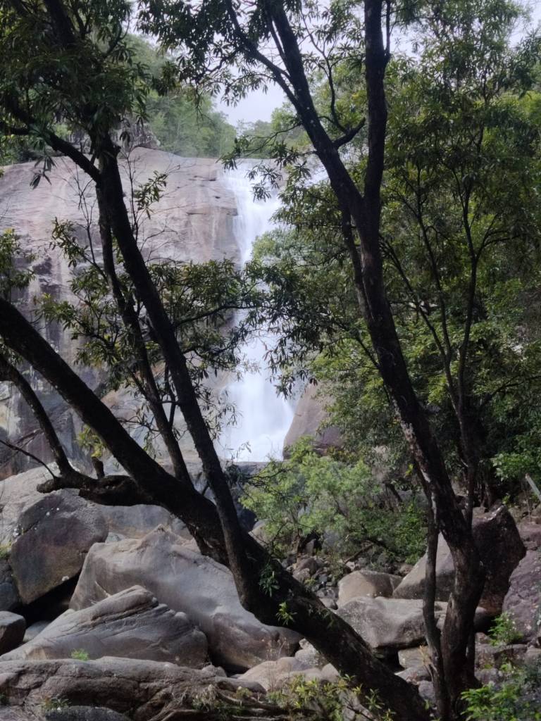
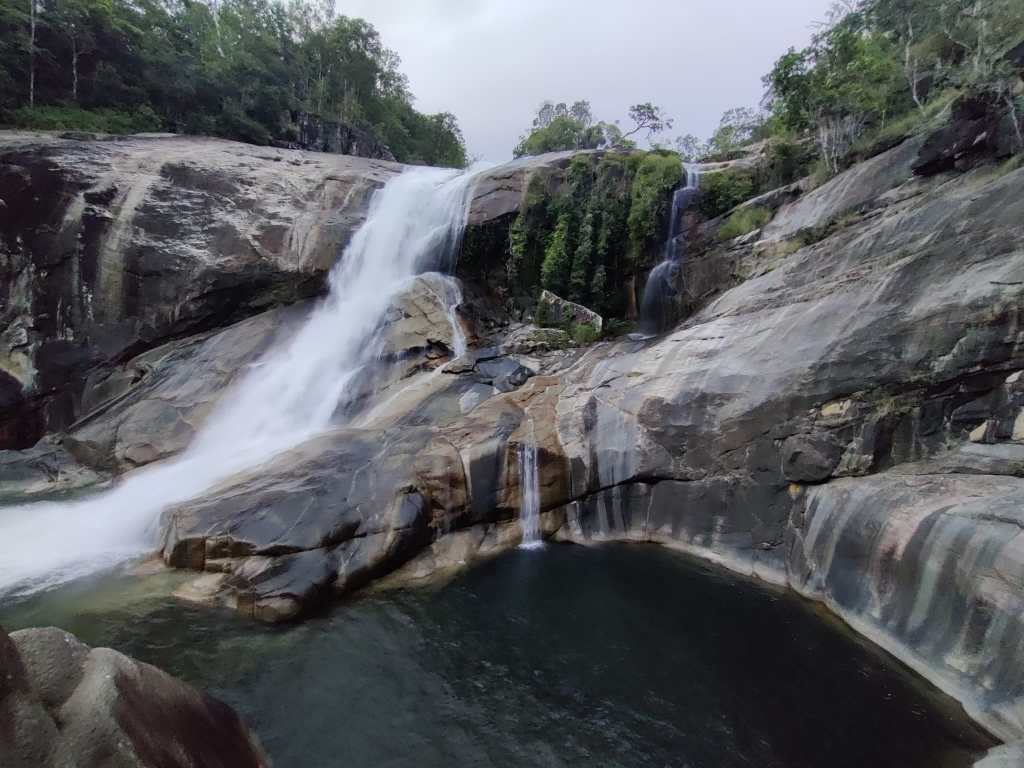
We’ll hear this beautiful sound of water as we transfer from the land of the living to the land of the dreams.
22th May 2026
Once again, the below picture says it all:
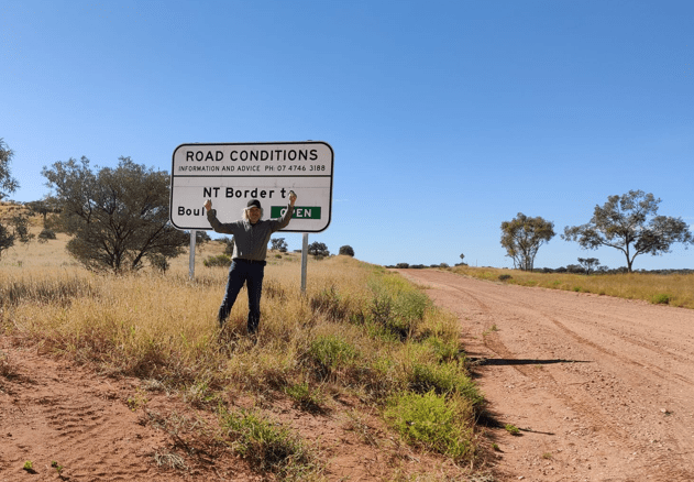
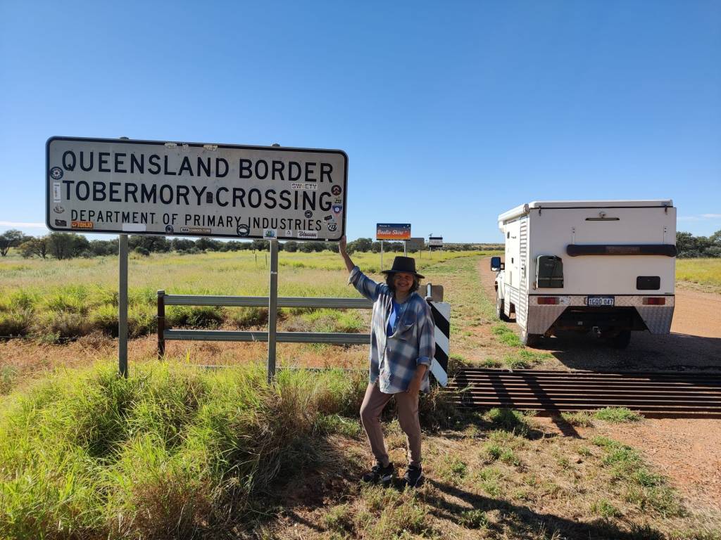
So we could after one day delay continue east, where the first stop is Boulia. We quickly crossed the border into Queensland:
And do you know what? Just a few kilometres into Quensland, lo and behold, there was kangaroos:
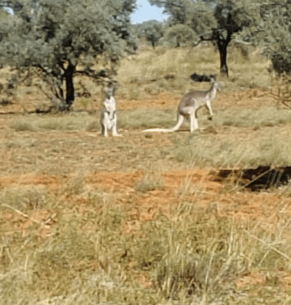
So there are indeed kangaroos in Australia, actually we saw another 3 lots (I knew my friend in Brisbane was right 😉). And we also saw our first big eagle, awesome sight.
The landscape changed, there were big patches of just grass land, with no bushes or trees, it looks very much like the Mid USA prairies. The first part of the road was gravel, then the last two thirds was bitumen, so an easy drive. It was hard to see, why it had been closed the day before.
We did reach Boulia, a little Outback village, which keeps the little place nice and tidy. They advertise that every third Sunday in July (as they write it), there is a camel race in town. We are camped in a quiet spot by the river just behind the racecourse.
We have planned the trip, so on average we’re driving 140 km a day to complete the above route. However some days we will drive much longer, like explained doing The Great Central Road through Western Australia in Aboriginal land, so we save up days for spots, where we want to stay longer. For example now we have driven 3704 km in 19 days, we should have driven 2660 km, so we have just over 7 days in the bank. Going east towards the tropical coast we’ll earn a lot more, since it’s farmland and fun to see, but not much stopping happening.
21th May 2026
The below picture says it all:
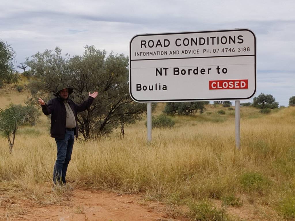
So we went for at walk in the Outback on an Outback Back road:
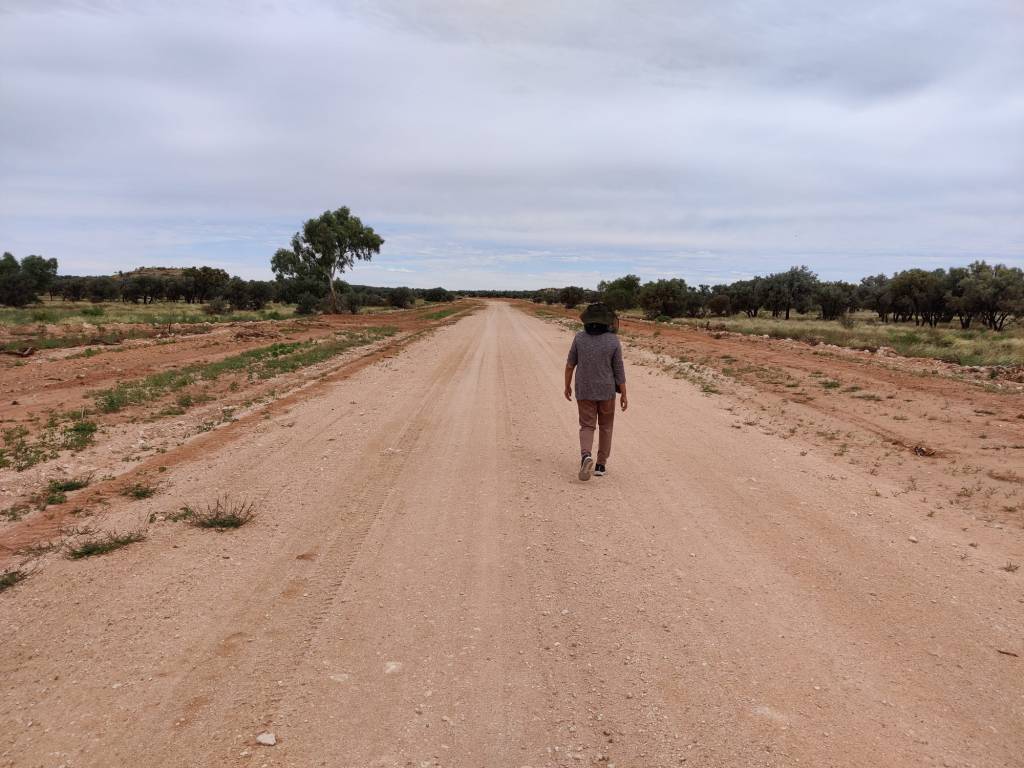
Now what do you expect from a cold-blooded Viking, who visits Australia and thinks all animals are either parrots, cockatoos or kangaroos.
A good local friend saw the pictures and heard the sound, and has corrected me, they are not cockatoo’s, but Galah’s:
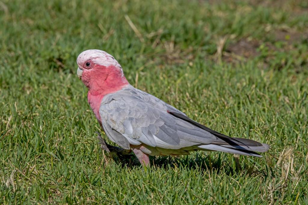
However he comforted me, they ARE loud 😊, Seeing them in the daylight, they are indeed Galah’s.
Now an issue of this trip, we’ve done 3454 km across the central Australia, not seen a single kangaroo, met our Brazilian friends, been on an outback station 4 months, not seen any, yet my friend send me this picture from outside Brisbane:
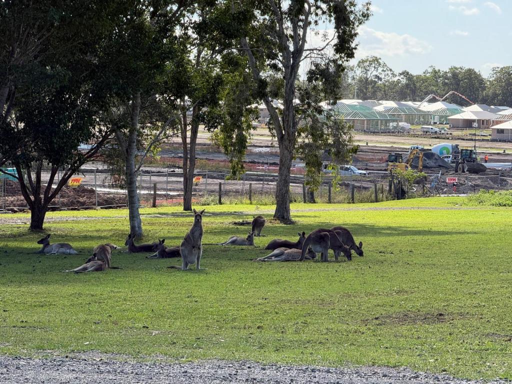
From the evidence of 3454 kms most of it in the Outback Australia, we’re wondering if it’s AI, he says NO, there are Kangaroos in Australia. Hope to meet and look him in the eye to tell the truth 😉
20th May 2026
On the 19th May we woke up at Spotted Tiger Campground, it was so peaceful and quiet, we slowly did the morning routine and packed the motorhome.
Back on the main road we again passed The Hart Range Police Station and the sign still said open for 4wd, so we drove along. Today was a short 138 drive to Jervois Station, Sharon was looking forward to setting up early and just have a quiet afternoon. Jervois Station is a working station and we got acquainted with some of the local residents.
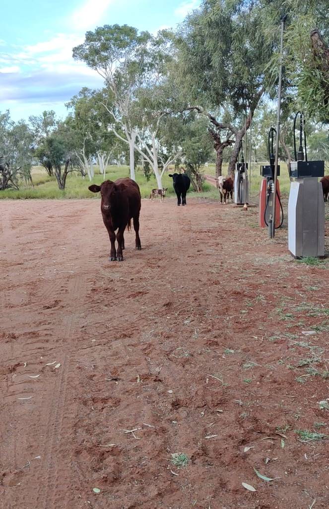
We also met some really nice visa workers from Brazil, Recife, we had a good and long chat with these two lovely people.
Today we left a bit earlier, not knowing what to expect of the roads going towards Tobermorey Station, just 5 km from the Queensland border. But apart from a few 10-15 km patches the roads were actually pretty good.
In my preparation for this trip, I’ve seen several videos of people doing the Plenty Highway and one picture appeared in all of them, now I’ve been and this picture of a rather tall anthill seems to be a must:
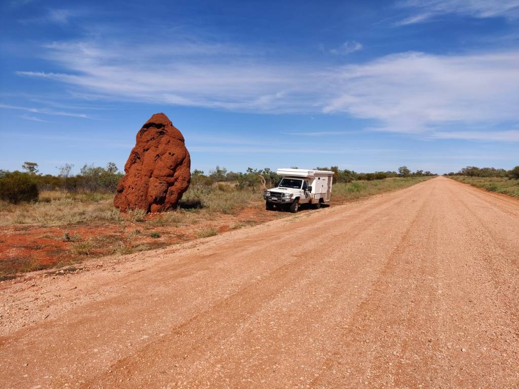
When we reached Tobermorey Station the sign said, the Donohue Highway in Quensland was still closed.
Well, you can’t trust the police 😊
We had planned to stay at Tobermorey Station anyway, so we booked in. We asked if they had any idea, when the Donohue Higway may be opened, they recon, it will be tomorrow, so we’ve settled down here for the night.
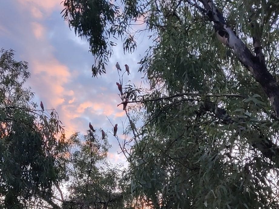
We’re parked under some nice trees, but as the sun was going down, a flock of cockatoo settled in the tree (See later correction), and did they make a racket, well anyway as the sun went down, they settled down, apparently, they are sleeping there tonight:
https://youtube.com/shorts/F2cYjCGClc4?feature=share
We’ve now done but 5 km of Plenty Highway and I have some reflections. I was looking forward to this stretch of road, as it was supposed to be a good 4wd drive. However the first bit of The Great Central Road / The Outback Way from Laverton to Uluru was a more exciting drive, the road was more corrugated, the nature was open and unfenced and seemed more wild and remote. This could also be because it was the first experience on the road trip I suppose.
Plenty Highway had some small very rough patches, mostly due to the rain they got recently, but generally it was in better condition and easier to drive. The road seemed more maintained. Now I’m just an ignorant Dane, but it seems to me, that the part from Laverton to Uluru is Aboriginal Land and not much industry there, while the Plenty Highway is a commercial route for the many cattle farms on this route and therefor the road is better maintained.
I know from the videos, that road conditions are very different even on the same roads, according to weather and when it was last graded. So that could have made a difference too.
Looking forward. We’ll now, hopefully, enter Queensland. As I understand it, it is farmland like we experienced in the drive in Western Australia from Perth to Laverton. So the next aim is the tropical east cost, where we’ll aim for Townswille, from where we’ll go up the tropical coast and visit some of the apparently amazing beaches up to cooktown, before we again will hit Road Trip mode and drive north towards Cape Hope.
18th May 2026
Well, we have spent 3 days in Alice Springs, which is in the middle of the desert, yet it rained most of those three days.
We did drive around and looked at the town, we shopped, we relaxed and spend time washing clothes and ourselves. And ofcourse, we had a few chicken pieces at the Alice Springs KFC, which wanted a Michelin Star to serve in the desert.
But today we were back on the road, the purpose of this trip, the road trip pictured above! I was super excited, while Sharon was a little less expectant 😉.
We needed to have a battery changed in the car, once that was done we set up to do road trip again. The first drive was going north on the famous Stuart Highway which runs from Adelaide to Darwin and this little piece of the Great Central Road, also called the Outback Highway, is on Stuart Highway. Then towards Atitjere, where we had planned to spend the night, a comfortable 240 km drive on bitumen.
I had been following the updates on the Northern Territories Traffic Channel, the Penty Highway was open to 4wd cars, but from the Northern Territories and Queensland border, the road was closed. So as we turned from Stuart Highway onto Plenty Highway, I looked at the board:
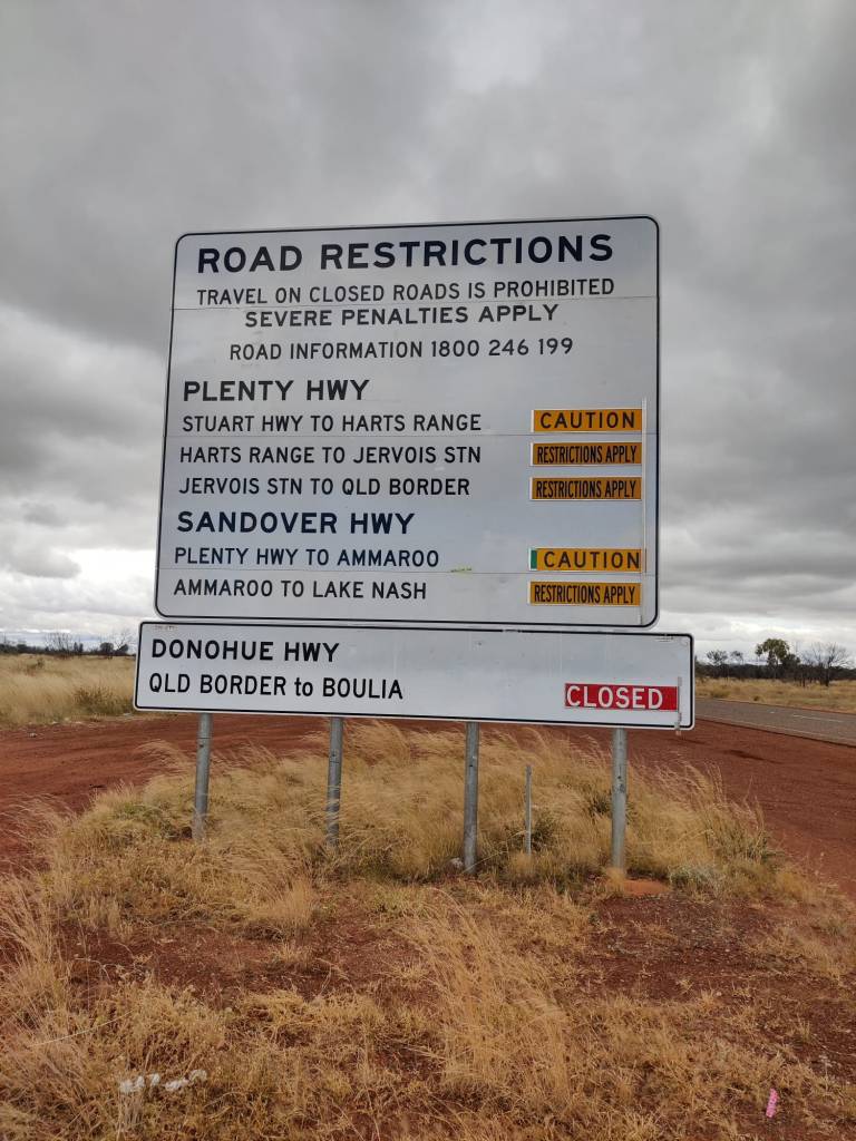
The road was still closed from the Queensland border. We had a talk about our options; we could go 500 km north and then east. This would be a longer drive and we would miss actually doing The Great Central Road in its entire length. The urge to actually do The Great Central Road, and the knowledge, that Plenty Highway was not usually closed during this time of year, we decided to take the chance to slowly go east on The Great Central Road. When we reached Gemtree Roadhouse, we had a cup of tea, and asked the locals if it would be OK to go east, their take was, it won’t be closed long, the earth is dry and will quickly absorb the rain, so we continued east. When we reached Atitjere there was the Heart Range Police Station, they had an updated sign for the road conditions:
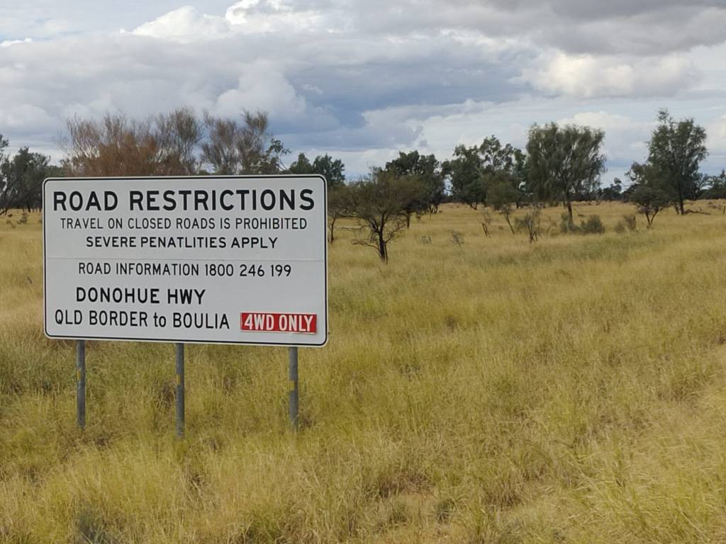
The road had been opened for 4wd, so we qualified. We spoke to the local police, which said, the roads are a bit wet, he then looked at our car and said “you’ll be OK”, however write down our telephone number, if you get into trouble, call us, we’ll come and get you out, really nice folk.
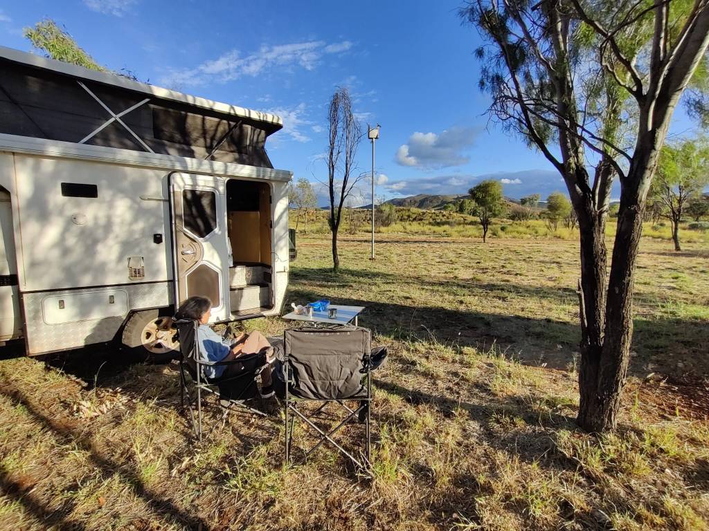
So encouraged we drove down the dirt road to Spotted Tiger Campground in the middle of The Hart Range, where we are settling down for the night, all alone in the middle of nowhere:
16th May 2026
We woke up on the 14th in the morning, the sun was shining and the bush below looked beautiful.
We slowly got ready. The morning routines are getting more established; we dance around in the little space to get the day going. I’ve never been a good dancer, but this seems to work.
I was expectant about todays drive on the Red Centre Way, it is not very long, just over 200 km, but it was supposed to be the most rough road we’d travelled so far. Shortly after we set off, we hit rough, when even the Aussies says max speed 45 km/t, you’re rough. The speed limit on most roads is 110 km/t, and the Aussies almost all do that, they’re not driving, but flying from corrugation top to corrugation top. Northern Territories calls this stretch of road for Highway 6, Highway?
And for the more hardcore, a longer video:
The rough lasted about 50 km and was a great experience (No Sharon, I’m writing this blog, I decide what to write). After that it became more like the Great Central Road.
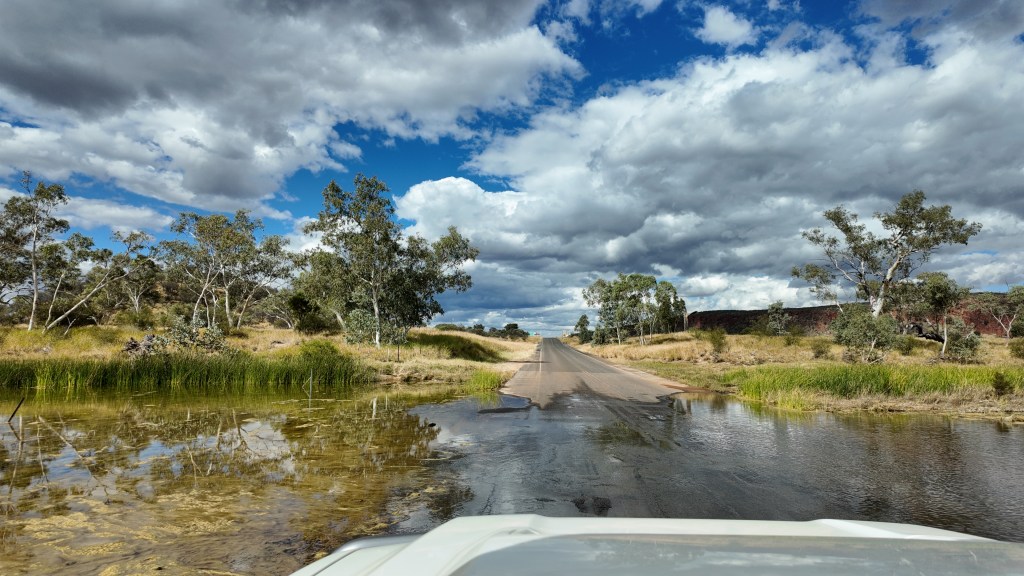
When we reached The MacDonnell Ranges the roads were again bitumen and we took the scenic Namatjirona Drive towards Alice Springs. This is a valley between the high MacDonnell Ranges and a lower range on the right. But this also made this Bush different, it was pretty green, most likely because when it rains, rain runs from both ranges into the valley. We’ve crossed many rivers, all dry,
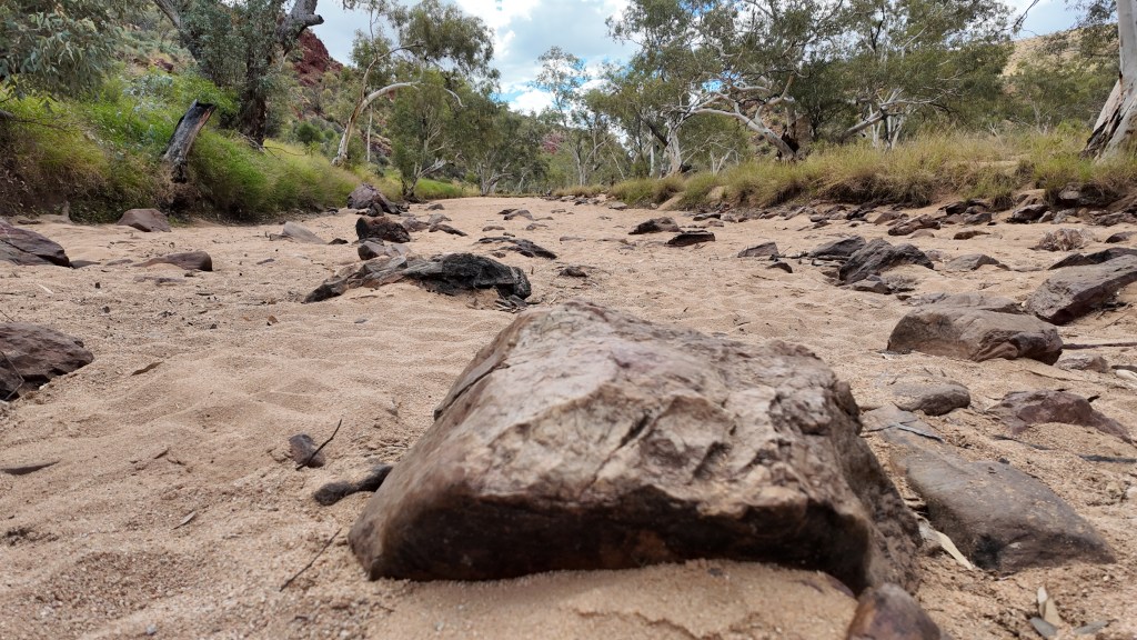
but here there was still a bit of water in several of the rivers.
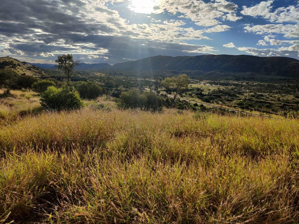
Arrived pretty early at Point Howard Lookout and set up for the night. I don’t know how to say this, but it was another free camping at a beautiful spot overlooking the valley. Aussies please don’t read the following … close your eyes, so far we’ve seen amazing places here, it really is a beautiful country, even the desert.
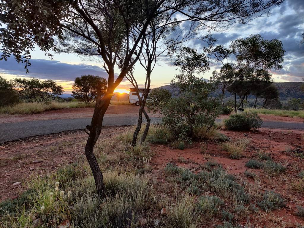
We arrived pretty early in Alice Springs on the 15th of May, checked in at the campsite Alice Springs Tourist Park. We’re been driving quite a bit, so we’re ‘resting’ here for 3 days.
Then we had to look up two repair shops to sort out some minor problems with the motorhome. Went shopping in Coles, fortunately they had the same prices as in Perth, OutBack prices are cheap if it’s only double price of Coles. So we stocked up on water, tin food and other items we needed.
Then in the evening we wanted to celebrate, that Sharon has endured me for 44 years, looked at a few places, but ended up in a bistro in a club, a very loud club, but we both had lamb shank slow cooked for 12 hours, it was delicious, we’re pretty wacked when we got back and edged into bed.
Today 16th of May, we woke up to rain again and it’s supposed to rain all day today and tomorrow. Apparently, Alice Springs has on average 2,4 days of rain in May, we got the two days 😊Like a good friend commented, at least you get a different experience than most visitors to Alice Springs.
So the day so far has been spend washing, red earth is beautiful, but it does get in everywhere.
13th May 2026
Yesterday 12th of May, we got up early and drove towards Uluru to catch the 0713 AM sunrise:
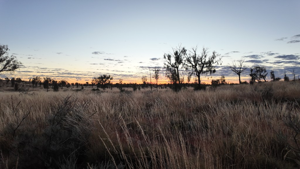
We got out to the spot designated to sunrise viewing, and there were hundreds of other people. Above us the sky was clear, but out in the east, there were scattered clouds. We all stood in excitement, but the sun never really came through and 0747 AM everyone had left again (suppose they went home to get breakfast).
The sun did catch the edge of Uluru at one point, but it was not the stunning view from the evening before:
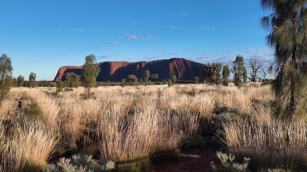
But, we had been up early, so we had breakfast at the foot of Uluru:
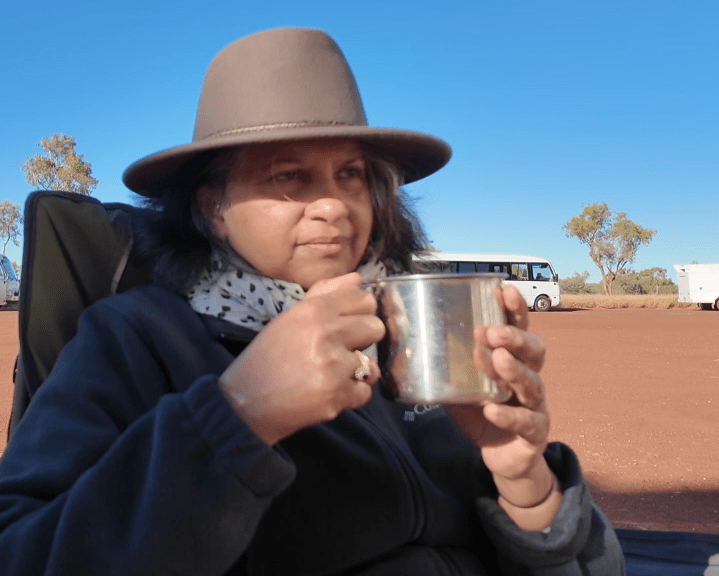
Afterwards we had a little walk around the foot of The Rock, we also went to see the famous Mutitjulu Waterhole:
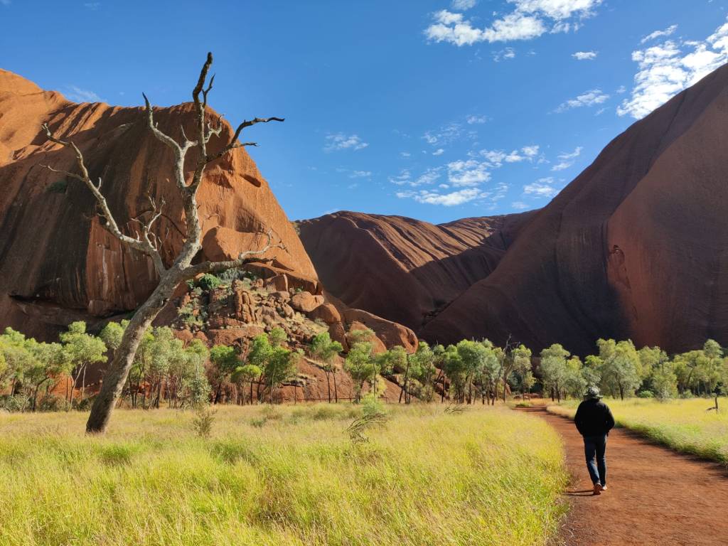
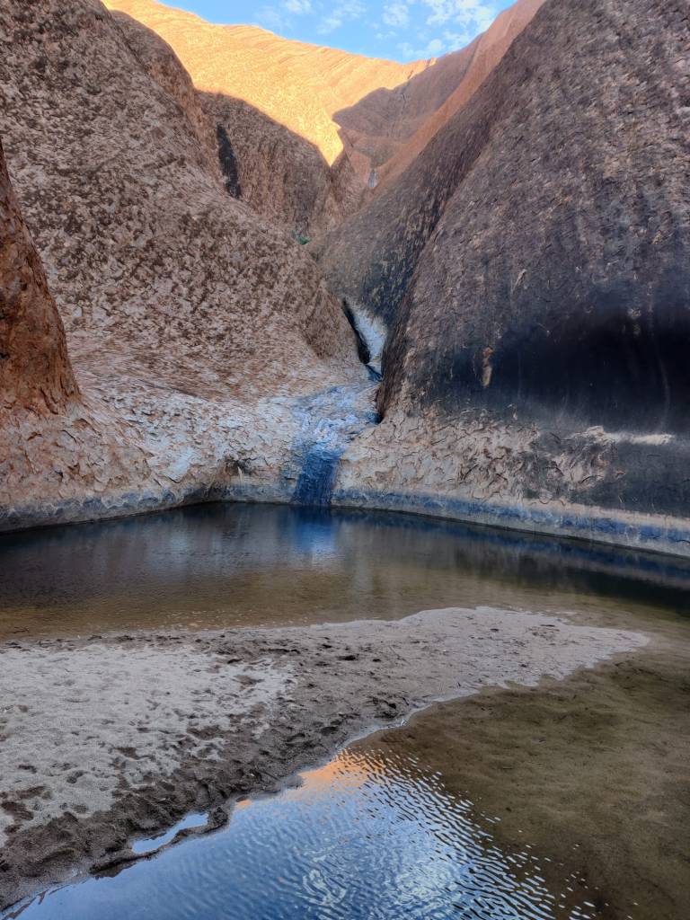
The rest of the afternoon we had to get the motorhome repaired. A protective cover in front of the gas bottles had fallen off. We heard it, stopped but not knowing all the bits and pieces of the car, we could not see anything wrong. While at Uluru I suddenly noticed, so on the way back we were on the outlook for the missing protective cover. Lo and Behold, we found it. It was battered, so I took it to the only repair shop in Yulara. Unfortunately he was too busy to fix it for us, however he found out we were Danish, his dad is Danish and his surname was Johannesen, so we’re practically brothers, as he put it, and so we got it fixed anyway 😊
So we only drove a little way out of Yulara, and camped overnight at Curtain Springs Station. Taking our age into consideration, it had been a long day, so come evening, the beds seems to be screaming pretty loud in the background and since we had neighbours, we had to comply.
Today 13th of May, we left Curtain Springs Station and drove towards ginty’s lookout, where we had planned to stay tonight.
We drove past Kings Canyon, where we stopped at had a walk into the canyon:
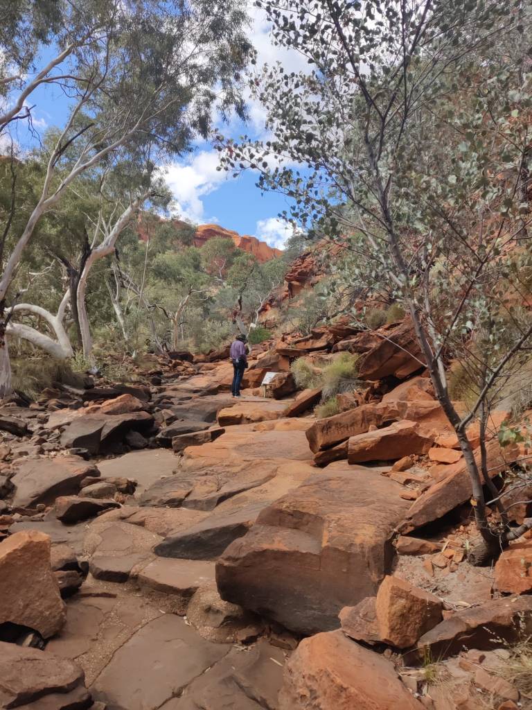
Afterwards we drove out to Ginty’s Lookout, where we had planned to stay the night, it is another beautiful spot, with this view out our front door (our only door):
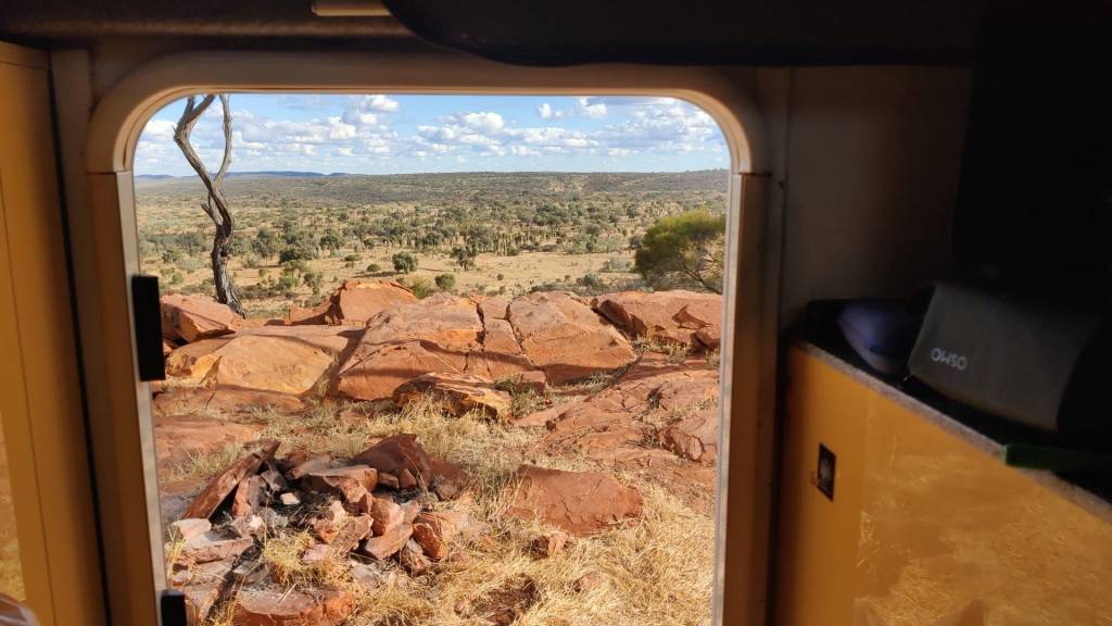
And now it is dinner time …. (hope to continue another day)
11th May 2026
On the 10th we left Warakurna Roadhouse and headed east towards Northern Territories.
It was again a long stretch in desert, the road and the landscape did change a lot, from almost no vegetation to almost forest, the video below shows some of the differences from Warakurna Roadhouse going East towards Northern Territories, where the video stops just as you can see The Two Olgas 80 km in the distance.
Today 11th of May it had started to rain in the night and it continued well into the morning as we woke up.
We had reached bitumen road (that is what the Aussies call it, it’s simply paved road), the tyres were given the appropriate PSI and we started to drive east and marvelled at The Two Olgas as they slowly towered in the horizon, not many tourists see it from this side as most come via Yulara
As we reached The Two Olgas the Road Trip was paused and we became tourists and indulged in the views. We could flood you with pictures, but here are two favorites:
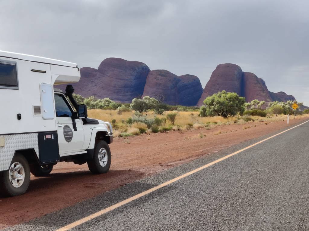
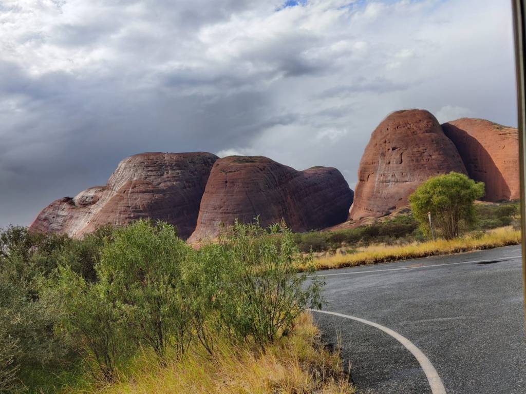
We found the only camping ground in Yulara (and they know it, the price was accordingly), with good facilities.
It had been cloudy most of the day with drizzle of rain. But towards the evening Sharon said, we’ll go out to he Uluru (Ayres Rock) to see the sunset. By some miraculous coincidence The sun did come out just before it disappeared in the west horizon.
Now I’ve always thought that Uluru was a nice sight, but it really is a different experience when you get to see and feel this enormous rock, standing there in lonely majesty in the desert, we got some really good pictures of The Rock:
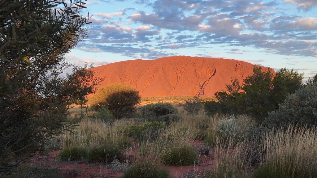
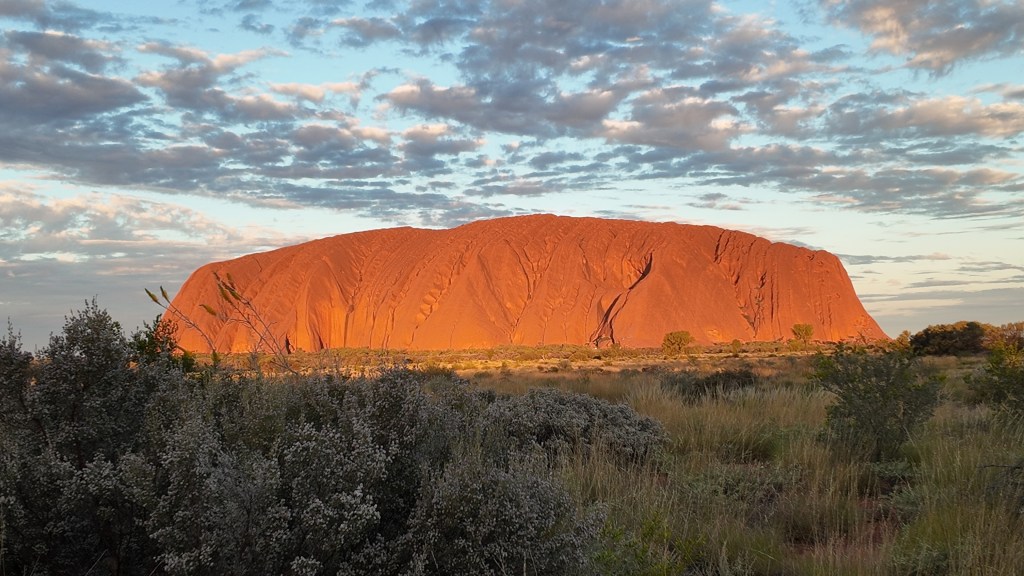
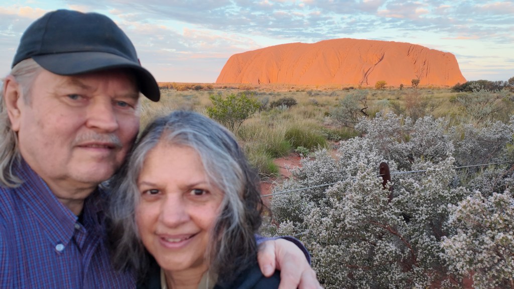
And then suddenly it was over, almost as with the switch of a light.
Tomorrow tourist state continues, and we’ll try and be at The Rock at sunrise and then explore a bit before resuming Road Trip mode.
9th May 2026
Today was another long drive, we passed the South Gibson Desert. We arrived early at Warburton Roadhouse, where we filled diesel at $ 4,25 pr. liter. This roadhouse also functions as a supermarket for the local Aboriginals living in the township of Warburton, which was right next to the Great Central Road, but we’re not allowed to enter the town.
And Hurrah we finally saw some wildlife, albeit imported wildlife by the European explorers, suddenly there was a flock of Dromedary (or as the Aussies call them Camels):
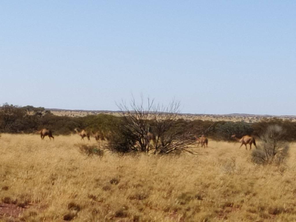
Later a single camel was suddenly walking alone along the road on the other side, it went into the desert before cameras were loaded and ready to shoot:
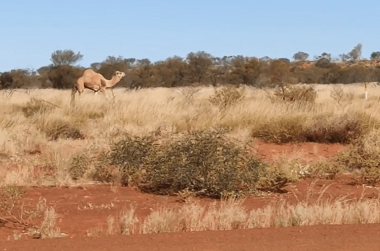
We went on to Warakurna Roadhouse, where we booked a camping site, treated ourselves to a hot bath and a cooked Beef Pie dinner.
8th May 2026
Here is a little update on our Australia trip. Days are quite busy, Driving 4-5 hours, packing the motorhome in the morning, driving including inflating and deflating the tyres, Paved roads 40 PSI and 2 wheel drive, corrugated roads 30 PSI and 4 wheel drive high, later if we enter beaches 15 PSI 4 wheel drive low. Then in the afternoon, setting up the motorhome, clean it, the beautiful red dust gets in everywhere!
On the 6th of May we did a long drive through the mining country, and we ended up on a camping site Niagara Dam, where a lot of people were camping.
On the morning of the 7th we drove through a “Ghost Town” Kookynie, and from there to Laverton, we took a backway, not even on the GPS, this was the first time on corrugated roads and we deflated the tyres to 30 PSI, when we again hit paved road upped the PSI to 40.
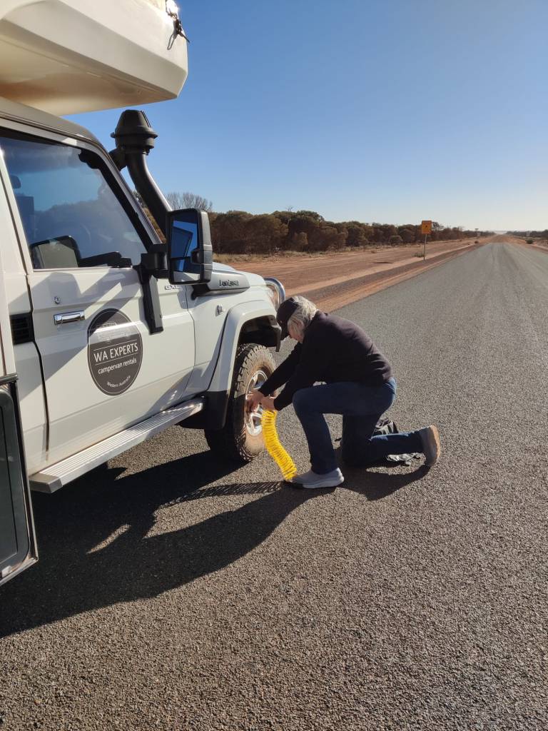
We stopped shortly at Laverton, then drove onto The Great Central Road, and did 52 kms to Giles Hideaway. Once again we were alone on a beautiful camping ground:
Today the 8th of May, we really hit the The Great Central Road, driving from Giles Hideaway, stopping at Tjukayirla Roadhouse, before we drove east. We have stopped at an old quarry, where we’re allowed to camp, once again we’re all alone here.
The road is mostly corrugated roads in pretty good condition, the motorhome easily does 80 km/t and the suspension takes most of the rattling from the road.
The land is desert, but quite green, with a varied lot of trees, bushes and grass. But apart from, what looked like a rabbit, which may have been another small mammal, which quickly ran across the road in the distance, we’ve not seen any wildlife.
We’re getting the experience we, mostly likely I, expected, driving in one of the most remote places in the world, just experiencing the nothingness of the vast deserts, it is magnificent.
6th May 2026
It has been a while since I wrote. But not because nothing has happened 😊
We finally picked up the motorhome in Perth on the 4th May. We got it 1100, and I had to deliver our car to the rental place at the airport while Sharon was packing the car, but mid afternoon we hit the road.
https://youtube.com/shorts/dd3d50E3jBk
We’re sort of following highway 94 east from Perth towards the Great Central Road. And on the 5th May we reached Lake Julia and stayed at Turkey Hill just by the lakeside. It was beautiful and peaceful:
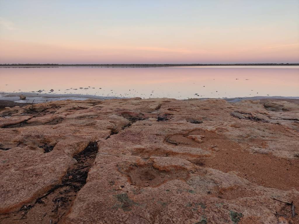
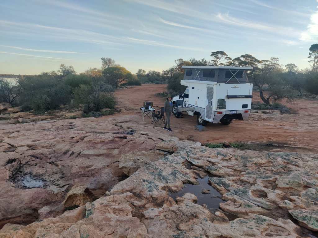
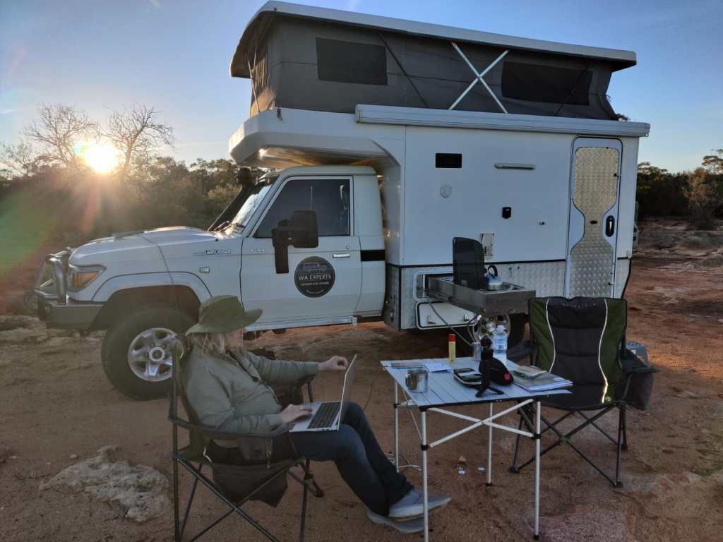
Shortly afterwards just before 1800 the sun went down, and it felt like Mother Earth used the Moon to wish us a good night under the stars, that are so bright, that you feel you could reach out and pick them.
Today the 6th of May, we drove a long distance towards Laverton, after 412 km we ended up at Niagara Dam Nature Reserve. We arrived after dark, so we’re looking forward to see where we are in the morning.
We have travelled a lot during the days, the land we’ve travelled so far is called the Wheat Belt until we today reached Kalgoorlie, which is a rich town due to the mining, and it has a colonial look.
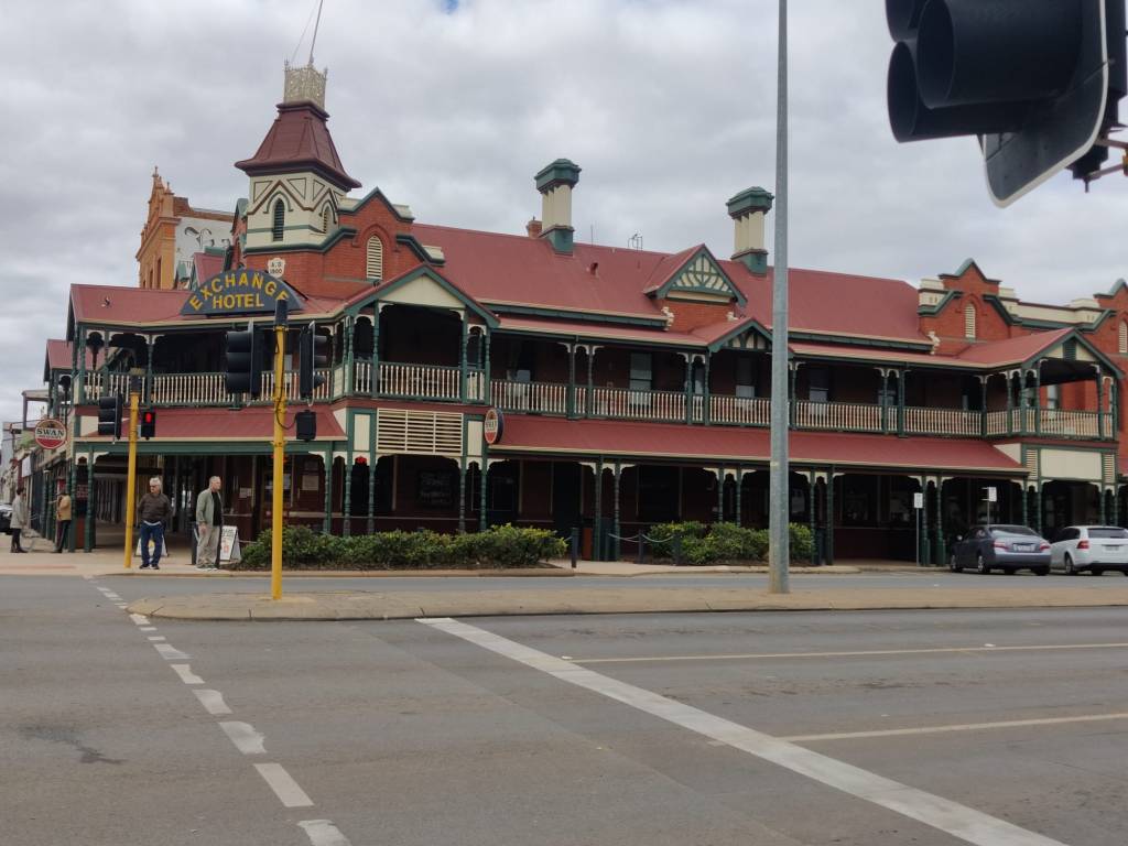
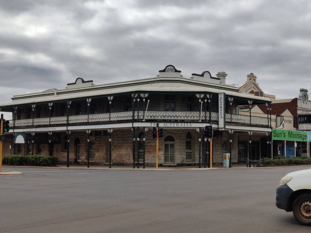
where it changed to the Goldfields. The nature has slowly shifted from farmland to bush with mines.
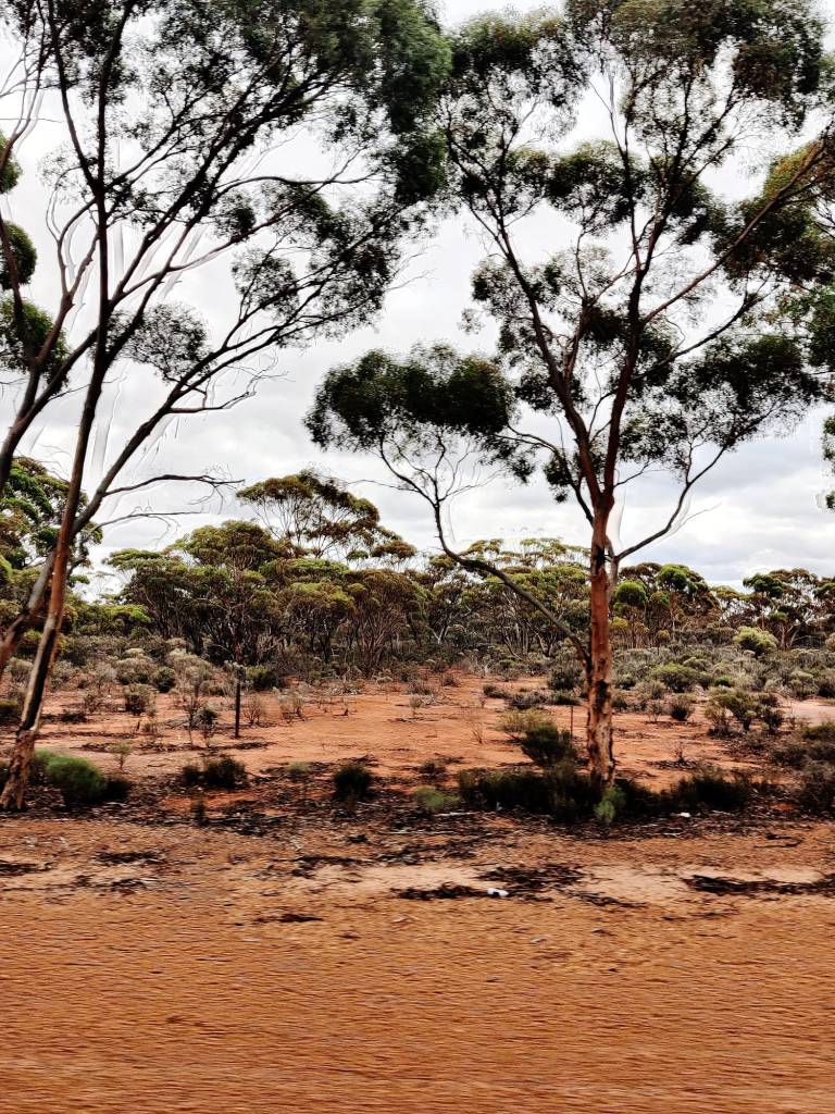
https://www.youtube.com/watch?v=CMPc4Rhurww
Driving though farmland and mining country on highway 94, we have seen many beautiful birds, including parrots many around our motorhome, but not much other wildlife, But we expect that to change in the coming days.
2nd May 2026
We arrived in Australia last Sunday. Have rented a house in Warnbro.
We have spent the time, both with some relaxing and preparing for the motorhome trip. The food selection here is different than at home and we have to plan to have food for a few days, since we cannot count on being able to shop every day and the motorhome does not have a freezer (only a small one for Sharon’s ice cream). We have got water (many of you have pointed out, this is important) and different foods. We now feel ready to go on Monday, where we pick up the motorhome at 1100.
We actually on Wednesday dropped by WAexperts, where were hiring the motorhome, apparently our van had just come back from a rent and Brendan was washing it and cleaning it up. The van is a few years old now, which suits us great it is ready to be used. We had a peek into our home for the next 109 days – it is not big, so we’ll get to know each other even better, the fridge was bigger than expected, which was a pleasant surprise.
I’ve picked up the Starlink, the power bank and the solar panels and have been testing it out the past few days. It looks like this is going to be a winning combination, even if we’re in the outback, we’re going to be connected, which is a convenient addition.
Will be back Monday (for the boys, looking forward to take this 5.8 V8 monster on the road, It’s fitted with brand new outback tyres and new battery).
13th April 2026
To travel from Laverton to the North Territory border and from the North Territory border to Uluru, we need 3 permits from the Aboriginal people. We have now got those permits these are the permits:
Laverton to Tjukayirla Roadhouse 9th May – 11th May
Tjukayria Roadhouse to NT border 11th May to 13th of May
NT border to Eluru 13th May to 18th May
We’re ready
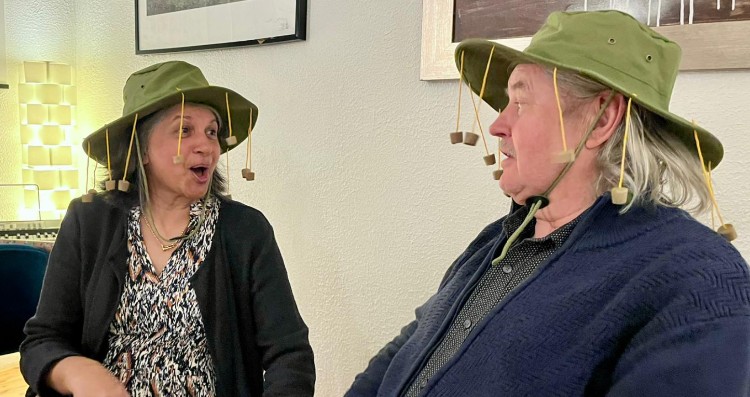
12th April 2026
Due to the situation in the world, we’ve had to rearrange our 2026 trip to get to Australia, the plans are now:
21st April Copenhagen – Bangkok
22nd April to 26th April in Bangkok
26th April fly Bangkok – Perth
26th April to 4th May Warnbro (south of Perth)
4th May to 20th August motorhome
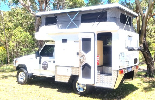
https://waexperts.com.au/vehicles/dove-4wd-motorhome-79-series-toyota-landcruiser
20th August to 23rd August Perth
23rd August fly Perth – Bangkok
23rd August to 31st August Bangkok
31st August fly Bangkok – Copenhagen
 Sharon & Leif Australia 2026